
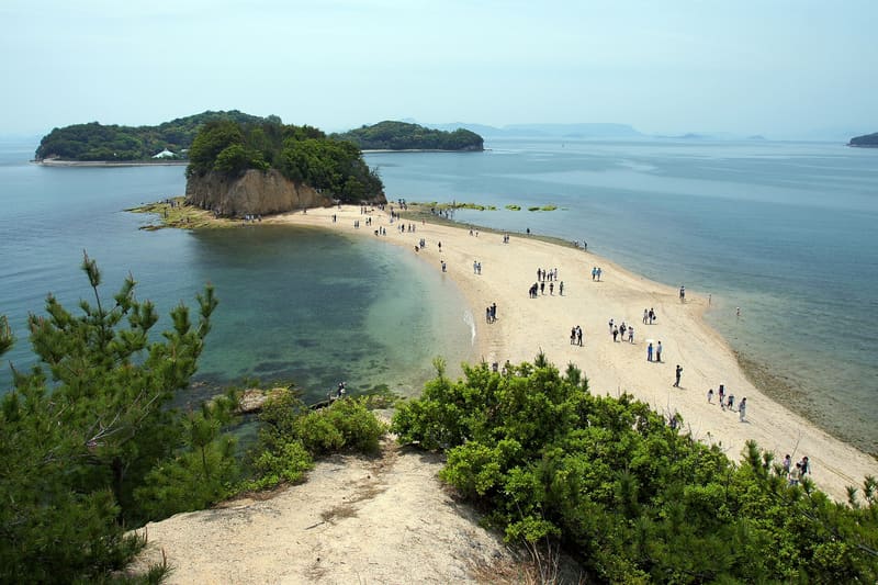
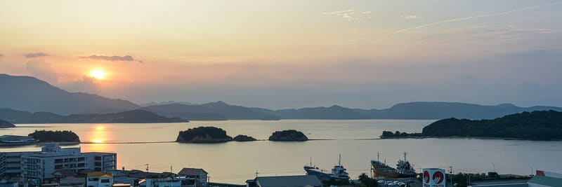
500 metres of sand re-emerge twice a day, two hours before and after low tide.
The sandbar links three islets (Maeshima, Nakayoshima, Ōyoshima) over about 500 metres: it re-emerges twice a day, two hours before and after low tide. Ōyoshima is owned by the Kobe YMCA centre, and the public path stops before reaching it. From the hill ‘Yakusoku no Oka’ you can see the route from above before going down onto the sand.
The stretch was originally a clam-gathering bank for the local fishermen of Tonoshō: it became a romantic destination by word of mouth, with the story that two people who cross it hand in hand will stay together. It is promoted by the Shōdoshima tourist board as one of the sites registered in the national ‘恋人の聖地’ (lovers’ sanctuaries) network, which is run by a private foundation and is not a state designation. In June 2017 a dispute between landowners and the local authority led to no-entry signs on Nakayoshima, removed once an agreement was reached in August of the same year.
ℹ️ Walkable only at low tide, about three hours before and three after: the times change every day and should be checked on the Tonoshō town website or on the information boards on site, never worked out from the day before. From Tonoshō port: 5 minutes by car, 30 on foot, or the Olive bus (bus stop ‘エンジェルロード前’, about 10 minutes, 150 yen per journey). Paid car park with 27 parking spaces near the viewpoint hill, and a free one with 50 spaces a short distance away. Access to the stretch of sand is open and free.
🚉 国際ホテル(エンジェルロード前) · 5 min walk
Holidays in Japan? Plan them with us.Over 2,000 real places, a day-by-day itinerary.FreeOpen the map →Sources: ja.wikipedia.org · shodoshima.or.jp · town.tonosho.kagawa.jp
Nearby
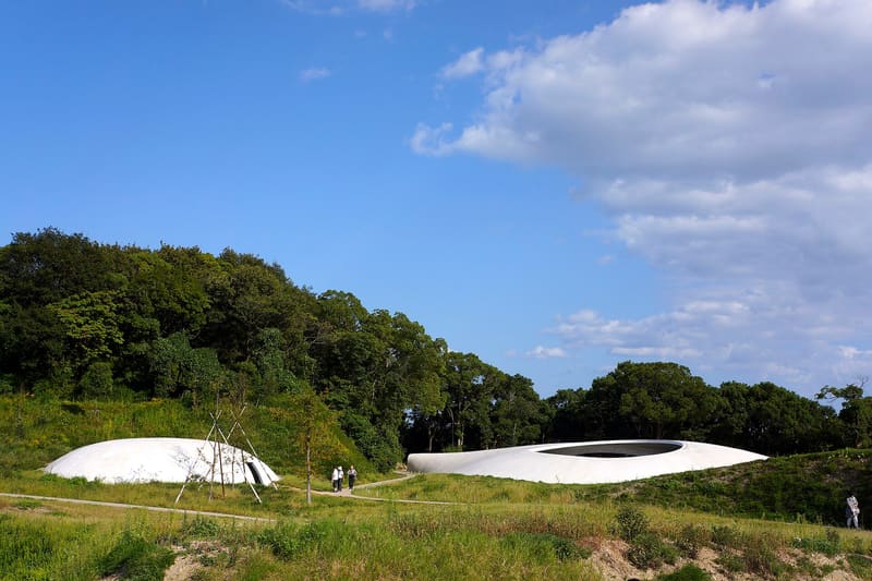 Teshima Art Museum9 kmphoto by Kentaro Ohno from Tokyo, Japan · CC BY 2.0
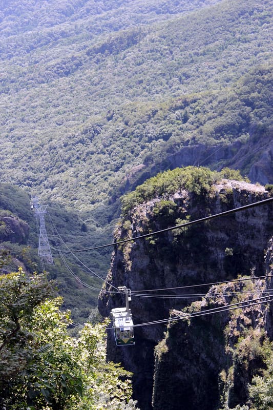 Kankakei Gorge10.5 kmphoto by 藤谷良秀 · CC BY-SA 3.0
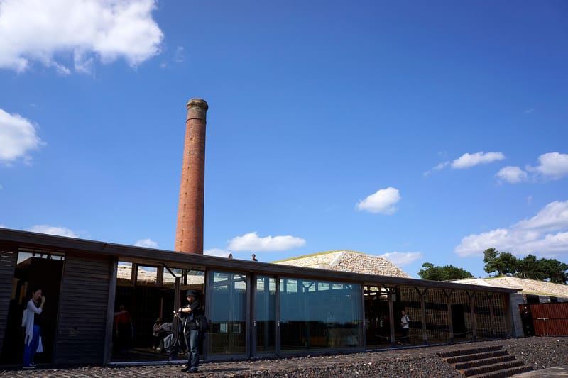 Inujima Refinery Museum12.1 kmphoto by Kentaro Ohno · CC BY 2.0
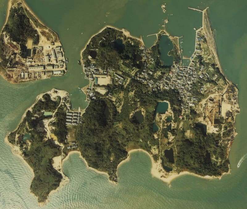 Inujima12.4 kmphoto by User:ラハール · Attribution