
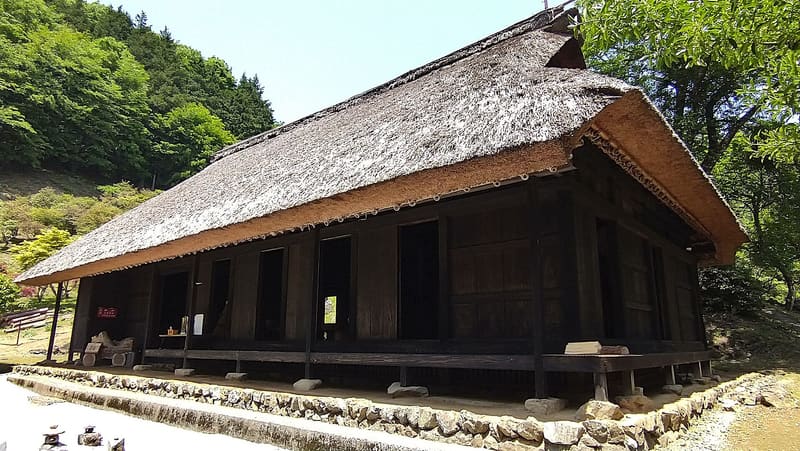
Mountain farmhouse, a cultural property since 1978: you go up by monorail at 43 degrees.
The house stands on a ridge at 750 metres, where the road does not reach: you go up on a three-rail monorail, 450 metres long and inclined up to 43 degrees, or on foot by the path over the ridge. Inside, the thatched roof and the late-19th-century silkworm-rearing tools tell the story of an early-18th-century farmhouse; the monorail must be booked by phone.
Farmhouse on a ridge in Hinohara, at about 750 metres above sea level, built in the first half of the 18th century and designated an Important Cultural Property in 1978. As there is no road for vehicles up to the house, access is by a three-rail tourist monorail (about 450 metres long, with a gradient of up to 43 degrees) or by a steep path on foot. The interior, restored between 2011 and 2015, keeps the thatched roof and the late-19th-century silkworm-rearing tools.
ℹ️ Open only on the days published on the monthly calendar of the official site, not every day of the year: summer (1/4–31/10) 10:00–16:00, winter (1/11–31/3) 10:00–15:00; closed on Tuesdays and over the New Year period (secondary source, hinohara-kankou.jp), plus extra closures for bad weather. Free entry (voluntary donation). The monorail requires a telephone booking (090-5543-0750, the house's office): bookings must be made at least one hour before the service you want, but the first service of the day must be booked by the previous day (no same-day bookings for the first run); services about every 40 minutes (single track), 8 seats (5 if the car is out of order). By public transport: JR Itsukaichi line to Musashi-Itsukaichi, then a Nishi Tokyo Bus (line 五18) bound for ‘藤倉’, getting off at the terminus; from there on foot to the car park and the foot of the monorail (distance not given by the official source, which refers to a dedicated map). If you do not book the monorail you can still go up on foot, by the steep path.
🚉 藤倉 · 19 min walk
Holidays in Japan? Plan them with us.Over 2,000 real places, a day-by-day itinerary.FreeOpen the map →Sources: kobayashike.tokyo · kobayashike.tokyo · kobayashike.tokyo
Nearby
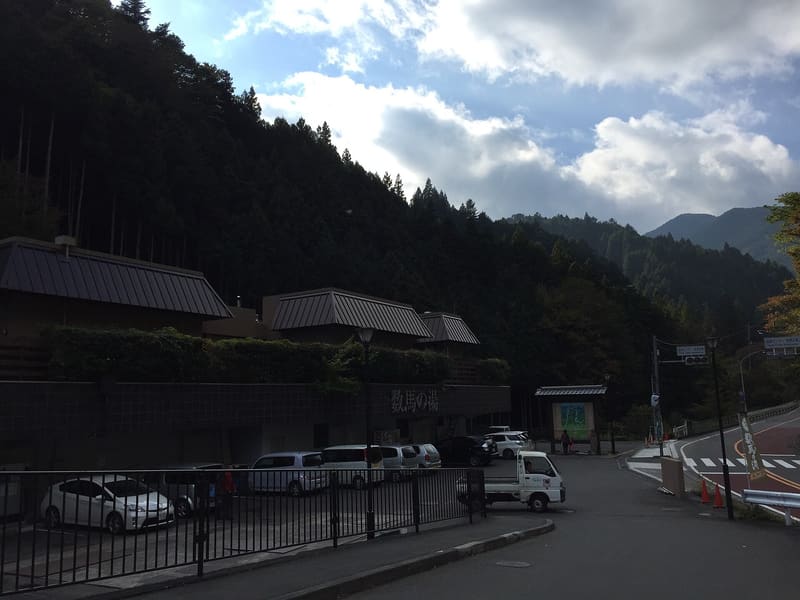 Kazuma-no-yu3.4 kmphoto by KOJI MISUMI · CC BY-SA 3.0
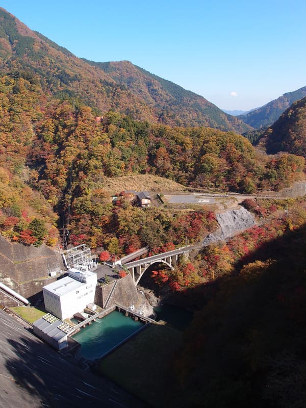 Lake Okutama and Ogōchi Dam5.2 kmphoto by Guilhem Vellut · CC BY 2.0
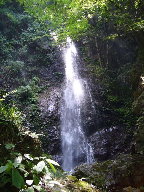 Hossawa Falls6 kmphoto by RESPITE · dominio pubblico (PD-self)
 Okutama Onsen — Moegi-no-yu6.6 km