
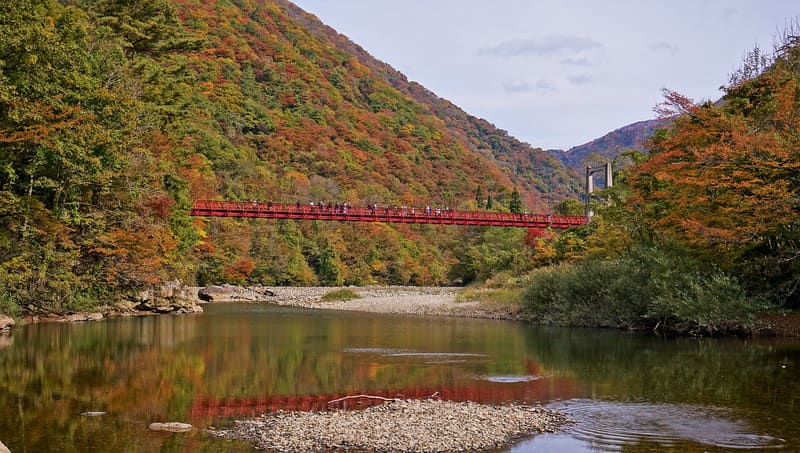
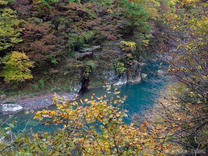
Ten kilometres of gorge leading to the ‘looking-back’ waterfall, 30 metres high.
Between Kakunodate and Lake Tazawa, the Tama River carves out a ten-kilometre gorge nicknamed ‘the Yabakei of Tōhoku’. From Dakigaeri Shrine the trail runs for about 1.5 km, half an hour on foot, to Mikaeri Falls (‘the looking-back falls’): the name comes from people who, as they pass it, turn round again and again to look at it once more. Fresh foliage in spring and red leaves in early November are the two peak seasons.
A gorge carved by the Tama River in the municipality of Semboku, on the route between Lake Tazawa and Kakunodate, with a signposted public trail from Dakigaeri Shrine.
ℹ️ Public trail, free of charge; the municipality reports frequent bear sightings and advises against walking alone and recommends using bear bells. About 20 minutes by car from JR Tazawako, 15 from JR Kakunodate; an on-demand bus is also available.
Holidays in Japan? Plan them with us.Over 2,000 real places, a day-by-day itinerary.FreeOpen the map →Sources: city.semboku.akita.jp · city.semboku.akita.jp
Nearby
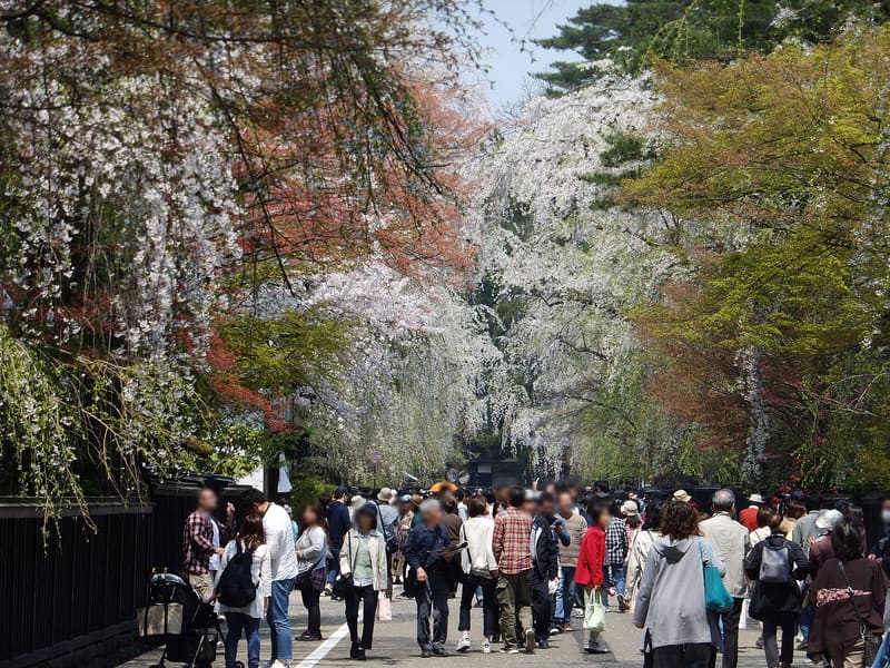 Kakunodate Samurai District7.9 kmphoto by 掬茶 · CC BY-SA 4.0
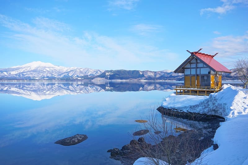 Lake Tazawa15.8 kmphoto by (Tea-making tea) 掬茶 · CC BY-SA 4.0