
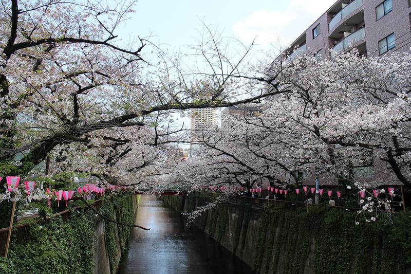
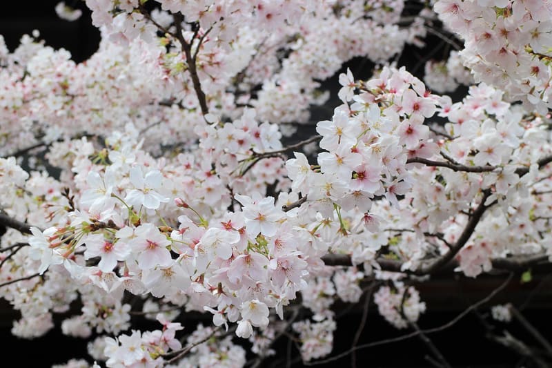
About 800 cherry trees along 4 km of the river in Nakameguro, out of the 1,500 across the two neighbouring wards.
In bloom, late March to early April, the branches from the two banks meet above the water and form a continuous tunnel of blossom for hundreds of metres. The Meguro-ku stretch has about 800 cherry trees over 4 km; adding the 3 km of the Shinagawa-ku stretch further downstream brings the total to about 1,500 trees. The municipality reports that the trees are ageing: only 20% were rated ‘healthy’ in the most recent assessment, compared with 90% in 2015.
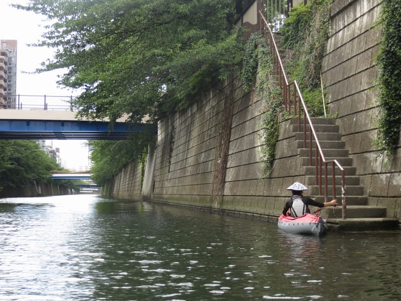
The Meguro River rises in Setagaya and flows into Tokyo Bay, but its best-known stretch is the one in Nakameguro, on the border between Meguro-ku and Shibuya-ku, where a continuous pedestrian embankment runs alongside the water for several kilometres. It has become one of the busiest hanami routes in Tokyo (hanami is the outing to see the cherry trees in bloom), even though it does not have park status: it is an urban canal, with shops and cafés facing the embankment all year round.
ℹ️ Public watercourse and embankment, always accessible, with no opening hours or ticket. Reviews recommend entering from Ikejiri-Ōhashi rather than from Nakameguro, because of the security checks at the crossing, which have been stricter since 2024 on crowded blossom weekends. Outside the cherry blossom season the canal looks very different, urban and without flowers.
🚉 Naka-meguro · in front of the station
Holidays in Japan? Plan them with us.Over 2,000 real places, a day-by-day itinerary.FreeOpen the map →Sources: city.meguro.tokyo.jp · media.jreast.co.jp
Nearby
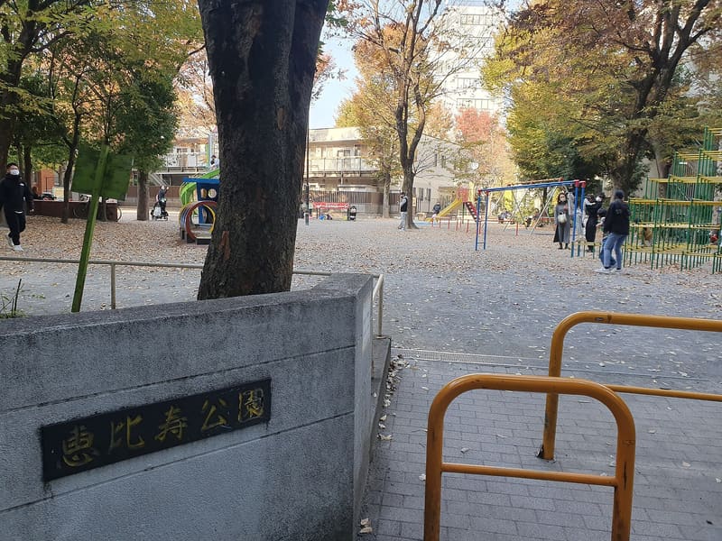 Ebisu Park800 mphoto by Syced · CC0
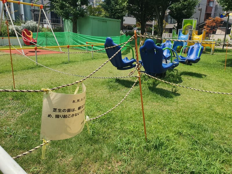 Ebisu Minami-ni Park900 mphoto by Syced · CC0
 Ebisu Yokochō1.2 km
 Tadō Hiroba Park1.3 kmphoto by tayorinai eye · CC BY-SA 2.0