
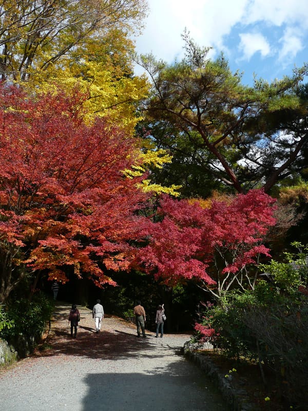
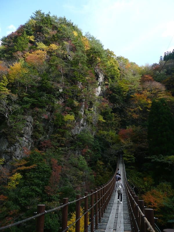
Valley where tradition hides the Heike, defeated in 1185, among mountains 1,300–1,700 m high.
The village lies in a valley among mountains 1,300–1,700 metres high, where according to tradition the Heike, the clan defeated in 1185, hid. A hall tells their story with objects, films and puppets, and on a nō stage (classical theatre with masks) kagura, ritual dances, and events are held. In the surroundings there are suspension bridges, and the road has long single-lane stretches.
Gokanosho (五家荘) is the collective name of five small localities in the eastern part of Yatsushiro: Kureko, Shiibaru, Nitao, Haki and Momiki, at the source of the Kawabe River, in the mountains of Kyūshū. The people who lived there were wood turners (kijishi), grew buckwheat and millet by slash-and-burn and grew tea. Tradition says that after the battle of Dan-no-ura (1185) Taira no Kiyotsune, a leader of the Taira clan, also called Heike, fled to Kyūshū and that his descendants, under the name Ogata, governed the area; according to other accounts the Zōza family descends from Sugawara no Michizane. The area became part of the quasi-national park of the central Kyūshū mountains in 1982 and since 2005 has been part of the city of Yatsushiro. The themed village 五家荘平家の里 belongs to the city and has a hall, the ‘Heike densetsukan’ (平家伝説館), with exhibitions, films and a pavilion of puppets, and a nō stage (能舞台) where kagura and events are held. The same municipal regulation also governs the historic houses of the Ogata and Zōza families, the old village of Kureko and the Umenoki-todoroki bridge park.
ℹ️ Municipal hours: 9:00–17:30 from April to November, 9:00–17:00 from December to March; closed on Tuesdays (if a public holiday, the first non-holiday day after) and from 29/12 to 03/01. Entry 410 yen from high school up, 200 yen for elementary and junior high, free below elementary school; cash only according to the Yatsushiro tourist portal. Telephone 0965-67-5372. There has been no scheduled bus service since March 2019 (Wikipedia): car only, 90 to 100 minutes from the Matsubase exit on narrow single-lane roads, or a train to Arisa and a taxi of about 70 minutes. On Sundays and public holidays in November, during the red-leaves festival (紅葉祭), a stretch of National Route 445 becomes one-way (tourist guide without a date; the 2026 dates are not published). The red leaves usually come between early and mid-November. Bridges: the Umenoki-todoroki (116 m long, 55 m high, at Haki, about 6 km) has a 38 m waterfall ten minutes on foot away; at Momiki, near the village, there are the Ayatori and Shakunage bridges, 72 and 59 metres long (tourist guide). ⚠️ Status after the earthquake of 28/07/2026: the list of the municipality of Yatsushiro, updated as of 01/09/2026, gives 平家の里 as open; for the bridges and for the access road, no official page after that date.
Holidays in Japan? Plan them with us.Over 2,000 real places, a day-by-day itinerary.FreeOpen the map →Sources: city.yatsushiro.lg.jp · kinasse-yatsushiro.jp · city.yatsushiro.lg.jp · weathernews.jp · ja.wikipedia.org · jeepe.jp
Nearby
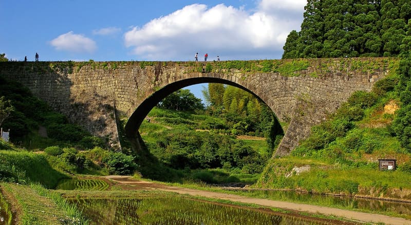 Tsūjunkyō Bridge19.8 kmphoto by masamic, edited by Laitche · CC BY-SA 3.0