
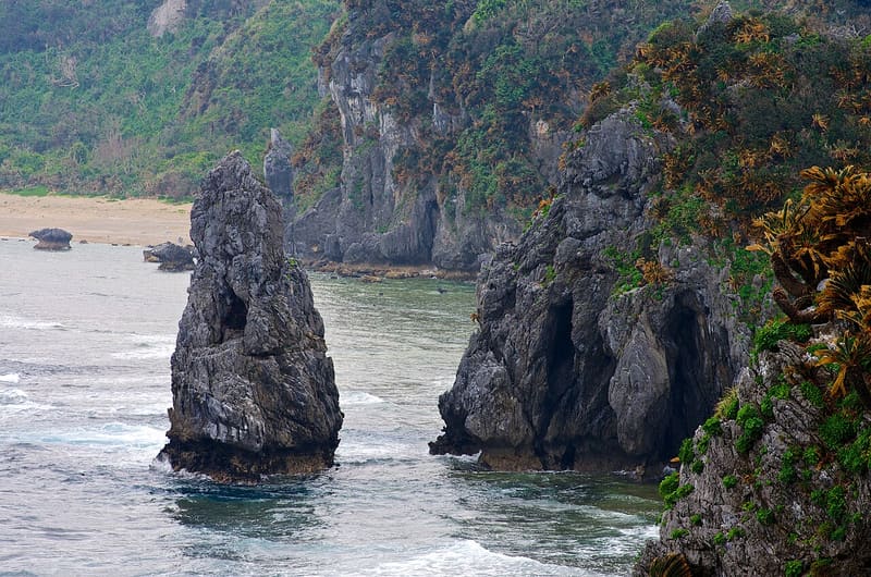
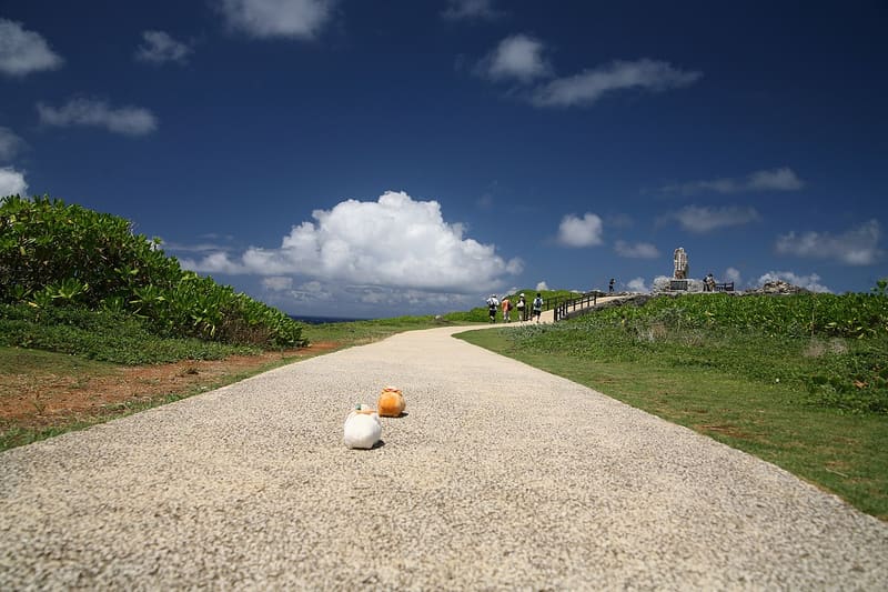
Yoron is visible 22 km away: under the occupation, people from here arranged to meet halfway across the sea.
The northernmost point of Okinawa's main island is a face of limestone two hundred million years old, battered by the Pacific and the East China Sea together. During the American occupation, before 1972, the inhabitants lit signal fires here towards the Japanese island of Yoron, just visible 22 km away, and once a year they met the people coming from the other side halfway across the sea, on the 27th parallel. The ‘Monument to the Struggle for Return to the Homeland’ (日本祖国復帰闘争碑), erected for the reunification of 1972, commemorates those years.
It is part of Yanbaru National Park, the belt of subtropical forest in northern Okinawa that became UNESCO natural heritage in July 2021 together with Amami Ōshima, Tokunoshima and Iriomote.
ℹ️ Open at all times, free. Free car park with 100 spaces; a small kiosk (パーラー) sells drinks and snacks on site.
Holidays in Japan? Plan them with us.Over 2,000 real places, a day-by-day itinerary.FreeOpen the map →Sources: okinawastory.jp
Nearby
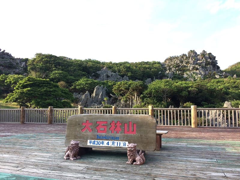 Asumui, the sacred forest of Hedo1.8 kmphoto by Yanbaru917 · CC BY-SA 4.0
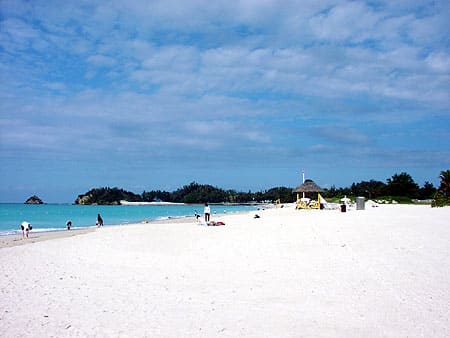 Okuma Beach18.3 kmphoto by N · Public domain
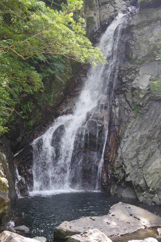 Hiji Falls19.6 kmphoto by Kugel~commonswiki · CC BY-SA 4.0