
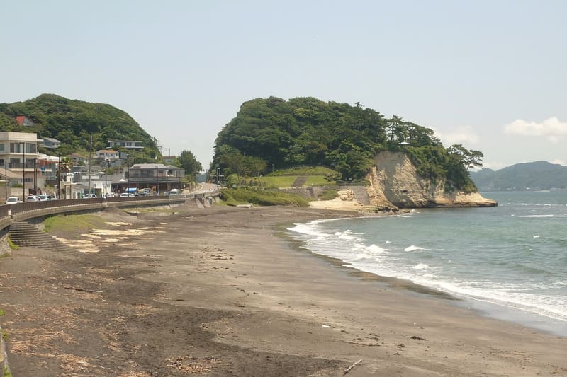
The wartime cave emplacements remain on the cliff; below, Enoshima and Mount Fuji.
The cape splits the curve of the Kamakura coast in two, and from the lawn at the top you see Enoshima in the foreground and, when the air is clear, Mount Fuji behind it. On the cliff to the west, the emplacements dug into the rock during the war still stand open. Below is the beach, but access is limited and erosion is eating it away. ⚠️ Here the kites target food held in your hand.
It is the Inamuragasaki section of Kamakura's municipal seaside park, two point one hectares, with a viewpoint and a lawn. The cape is a National Historic Site as the place of Nitta Yoshisada's crossing: in 1333, according to tradition, the general threw his sword into the sea so that the waters would recede, and crossed with his army, getting round the city's defences. A stele commemorates it.
ℹ️ Municipal park, always open: the municipality publishes neither opening hours nor a price. Pay car park. Inamuragasaki Station on the Enoden line. ⚠️ Access to the beach below the cape is limited.
🚉 Inamuragasaki · 6 min walk
Holidays in Japan? Plan them with us.Over 2,000 real places, a day-by-day itinerary.FreeOpen the map →Sources: city.kamakura.kanagawa.jp · trip-kamakura.com · 4travel.jp
Nearby
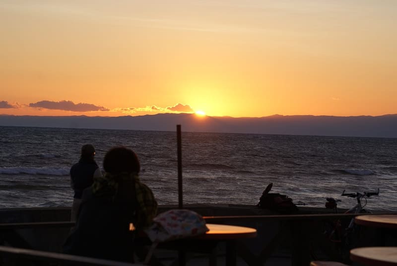 Shichirigahama Beach1 kmphoto by abu_9495 · CC BY 3.0
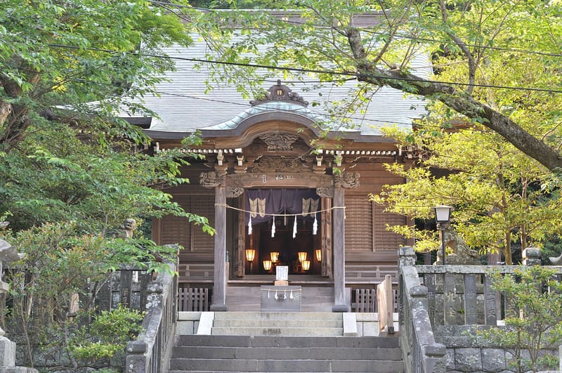 Goryō Shrine, known as Gongorō1.2 kmphoto by Ocdp · CC0
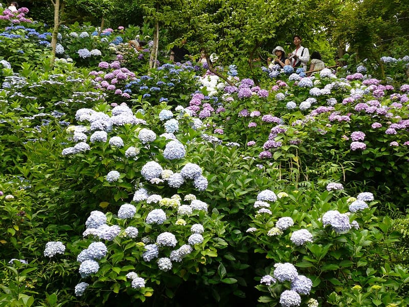 Hase-dera1.3 kmphoto by Fumihiko Ueno · CC BY 3.0
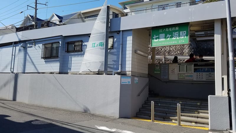 Shichirigahama Station1.3 kmphoto by LERK · CC BY-SA 4.0