
At 452 metres above sea level, this Setouchi summit has three viewpoints over 115 islands.
The highest point of the island of Ōsakikamijima, at 452.6 metres, within Seto Inland Sea National Park. A paved road climbs almost to the summit, where there are two car parks (about twenty spaces each) and three viewpoints one after another; from the last one, on clear days, you can count up to 115 islands between Honshū, the Geiyo archipelago and the mountains of Shikoku. Shirouzu port, where the ferries depart, is about 30 minutes' walk from the first viewpoint.
The highest mountain on Ōsakikamijima, with three viewpoints over the Seto Inland Sea.
ℹ️ Always open and free. A road for cars runs almost to the summit; on foot, about 30 minutes from Shirouzu or Tarumi port. By car, about 25 minutes from the Kawachi interchange on the San'yō Expressway, plus the ferry from Takehara to the island.
🚉 Kinoe Tenma Port · 26 min walk
Holidays in Japan? Plan them with us.Over 2,000 real places, a day-by-day itinerary.FreeOpen the map →Sources: town.osakikamijima.hiroshima.jp · yamap.com · jalan.net
Nearby
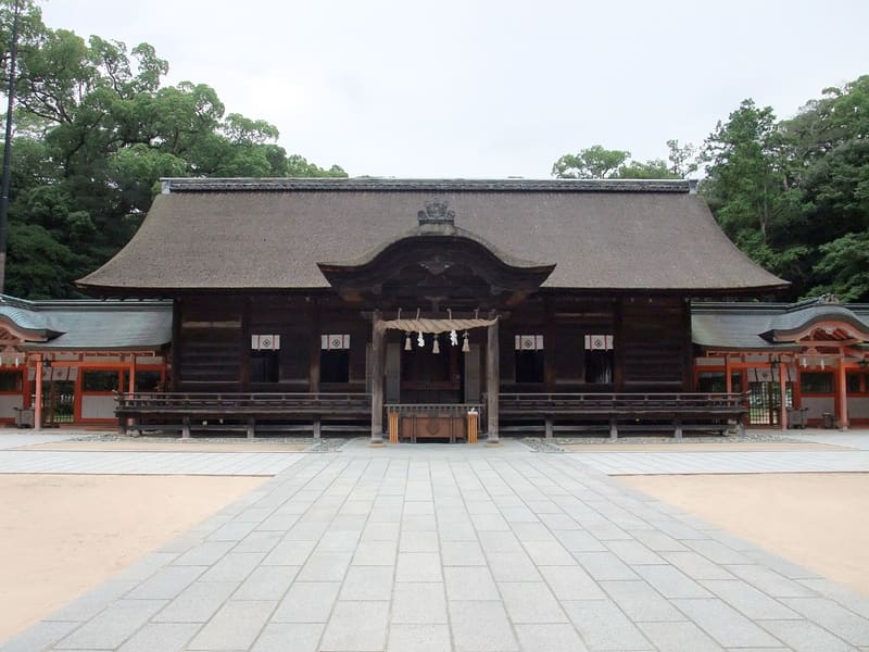 Ōyamazumi Shrine9.5 kmphoto by Mika-wa-Taro · CC BY-SA 3.0
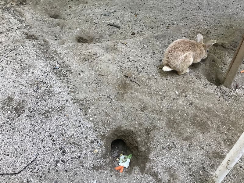 Ōkunoshima (Rabbit Island)12.2 kmphoto by そらみみ · CC BY-SA 4.0
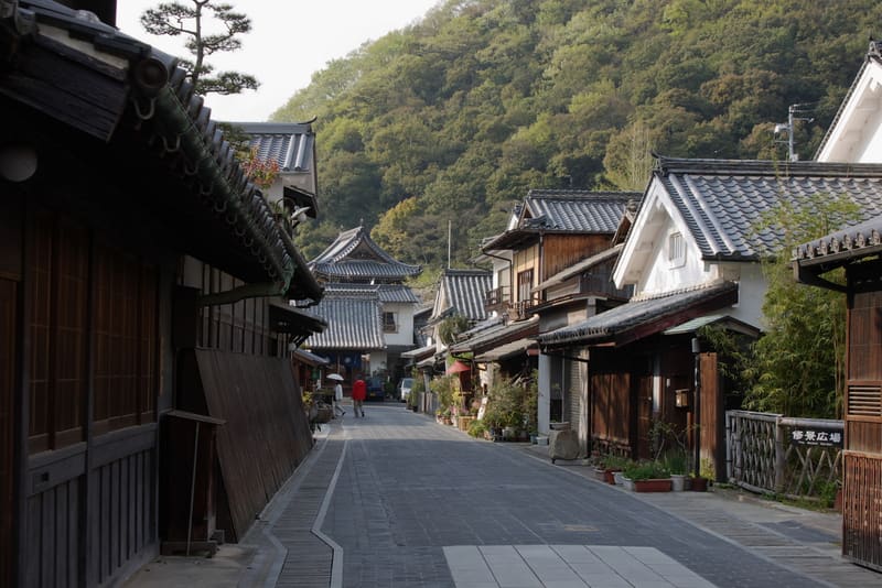 Takehara historic district13.4 kmphoto by OS6 · CC BY-SA 3.0
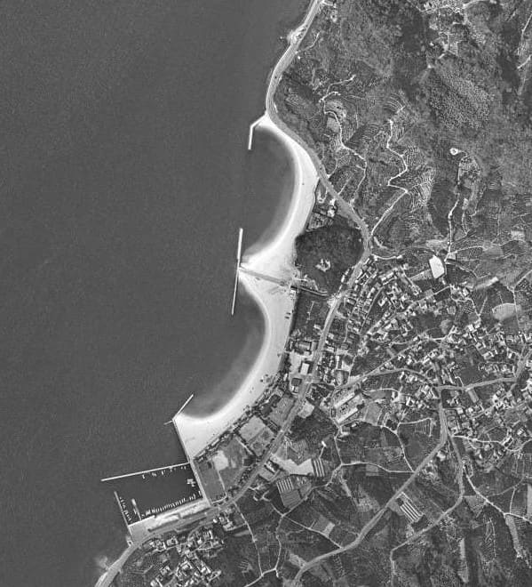 Setoda Sunset Beach16.7 kmphoto by 国土地理院 · Attribution