
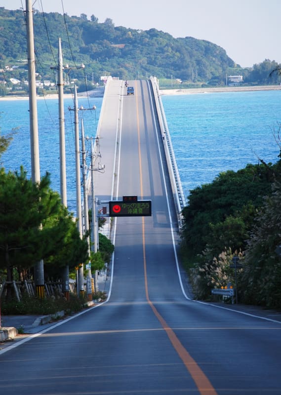
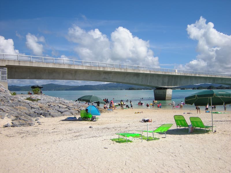
One thousand nine hundred and sixty metres for free, with green sea on both sides, and there is a pavement.
The bridge runs from Yagaji to Kouri, and the sea on its right and on its left is the same colour. You can walk it, but crossing the whole length means more than twenty minutes each way: the tourist board recommends five hundred metres and back, from the viewpoint. You can drive round the island in half an hour, and the reviews agree on one thing only: without sun it is not worth it.
Opened on 8 February 2005 after eight years of construction, it is 1,960 metres long and is the second-longest toll-free bridge in the prefecture. It links Yagaji Island, which belongs to the municipality of Nago, to Kouri Island, which belongs to Nakijin. The road is Prefectural Road 247.
ℹ️ Free and always open. The car park at the viewpoint by the southern end is free, with forty spaces, two of them for disabled visitors, and open twenty-four hours. ⚠️ With overcast skies or rain the place loses almost everything, and at weekends the coaches arrive.
🚉 トケイ浜・ハートロック · 13 min walk
Holidays in Japan? Plan them with us.Over 2,000 real places, a day-by-day itinerary.FreeOpen the map →Sources: nakijinson.jp · nagomun.or.jp · okinawastory.jp · 4travel.jp
Nearby
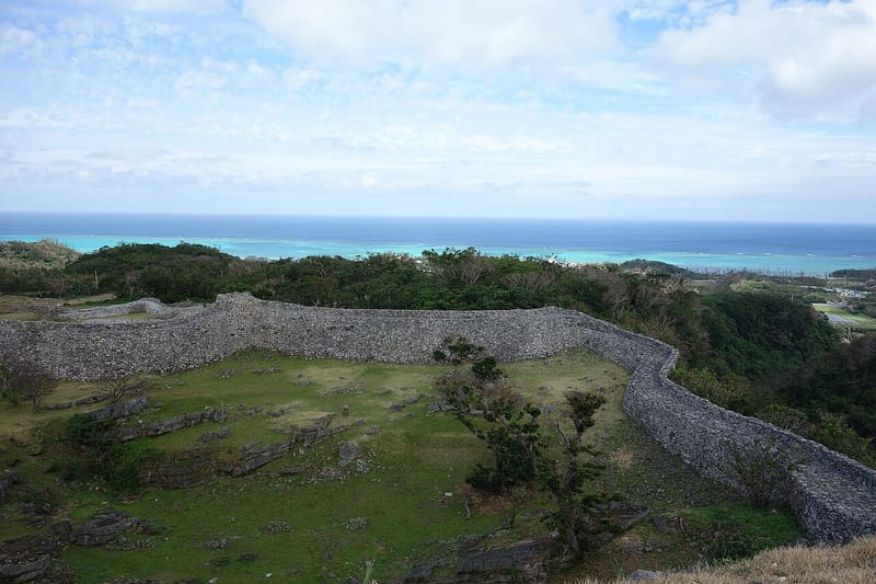 Nakijin Castle8.9 kmphoto by 690 Noda · CC BY 3.0
 Shioya Bay — the Ungami9.9 kmphoto by Kugel~commonswiki · CC BY-SA 4.0
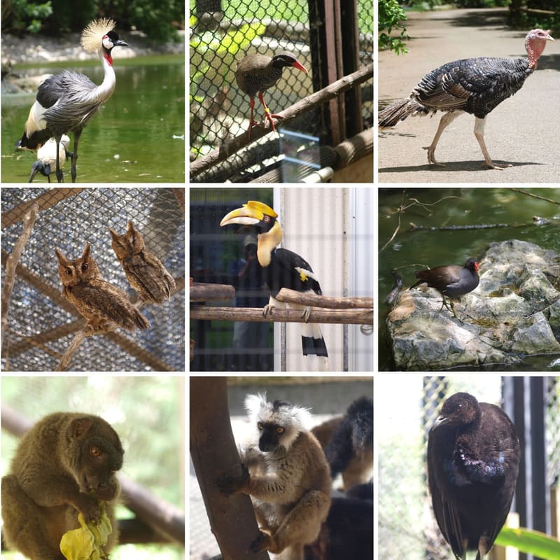 Neo Park Okinawa10.7 kmphoto by Collage made by Daiju Azuma · CC BY-SA 4.0
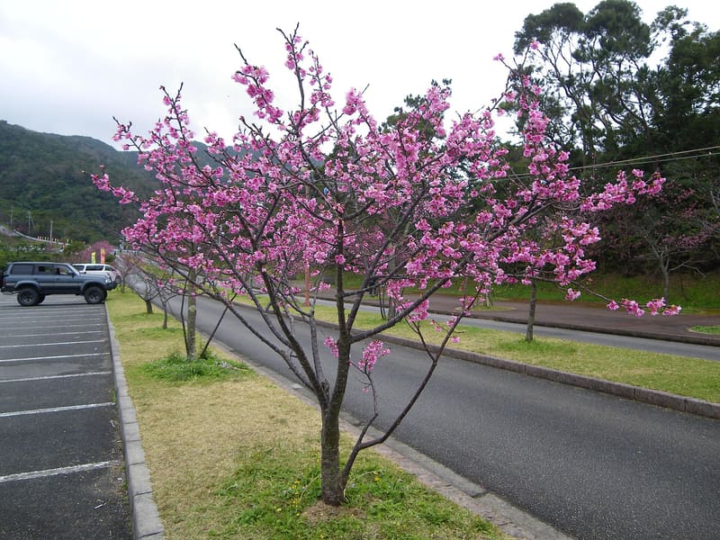 Yaedake Cherry Tree Forest11.7 kmphoto by Kugel~commonswiki · CC BY-SA 4.0