
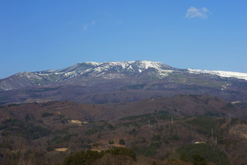
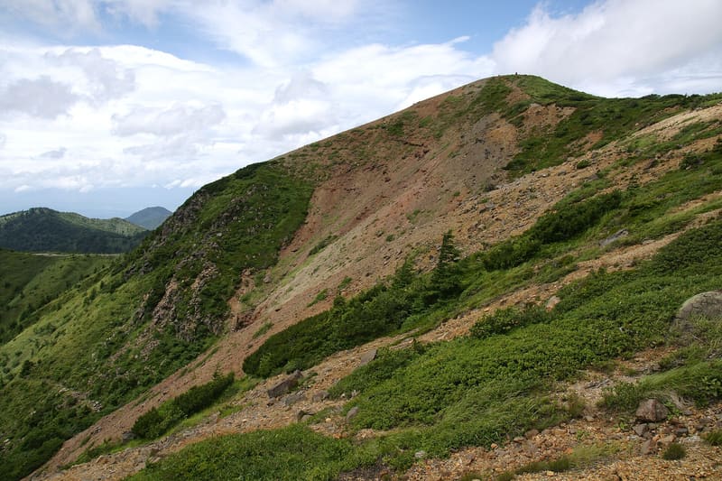
The Yugama crater is 300 m in diameter with a pH close to 1: among the most acidic lakes in the world.
The emerald-green crater lake Yugama is about 300 metres in diameter and 30 deep: the pH is close to 1, among the most acidic in the world, because of the sulphur compounds from the volcanic activity beneath it. A phreatic eruption in 1983 threw fragments as far as 600 metres away, and in the ’70s people died from volcanic gases, which is why access to the crater is still monitored.
An active volcano on the border between Gunma and Nagano, kept under priority monitoring by the Japan Meteorological Agency. For years access to the Yugama has been prohibited or heavily restricted depending on the alert level.
ℹ️ ⚠️ Access changes often with the volcanic alert level and must be checked shortly before setting out. In 2024 the stretch near the crater reopened for the first time in fifteen years, only for booked groups; in August 2025 the level was raised again to 2 (no entry within about 1 km of the crater); at the end of May 2026 National Route 292 (Shiga-Kusatsu) became passable along its whole length again, and the car park/viewpoint at the summit can be used again. Sources: Kusatsu town website, Meteorological Agency.
Holidays in Japan? Plan them with us.Over 2,000 real places, a day-by-day itinerary.FreeOpen the map →Sources: town.kusatsu.gunma.jp · bousai.go.jp
Nearby
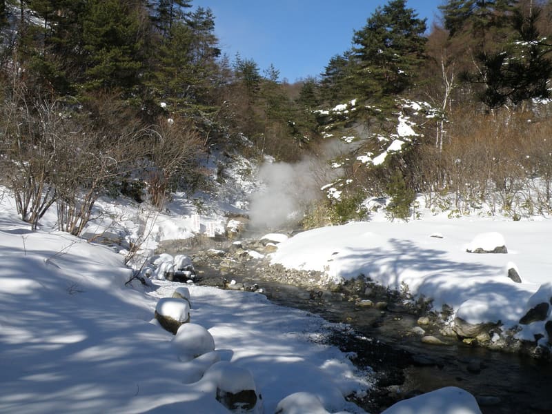 Nishinokawara Park4.9 kmphoto by くろふね · CC BY 3.0
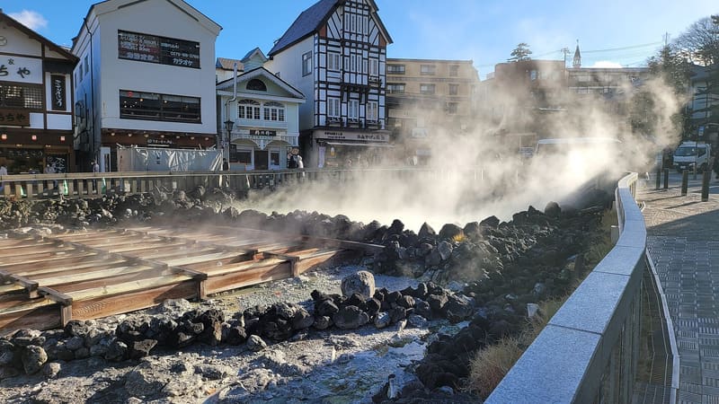 Kusatsu Onsen Yubatake5.5 kmphoto by Aspere · CC0
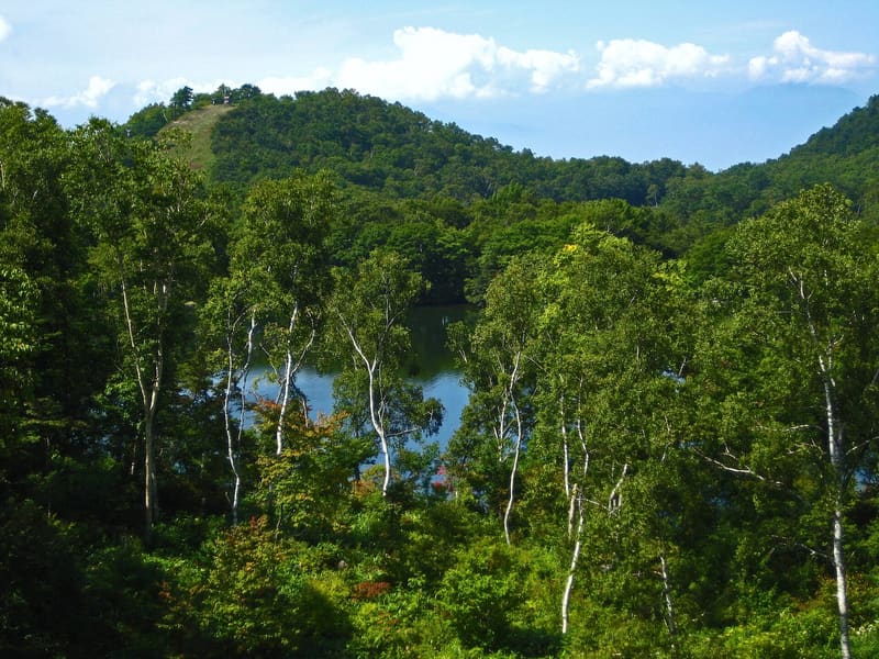 Shiga Kōgen (Maruike)11.3 kmphoto by Photographed by Qurren ( talk ), with IXY Digital 10 compact digital camera. · CC BY-SA 3.0
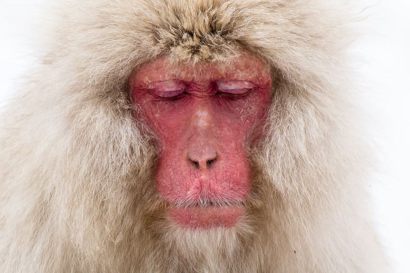 Jigokudani Yaen-kōen14.1 kmphoto by Daisuke tashiro from Japan · CC BY-SA 2.0