
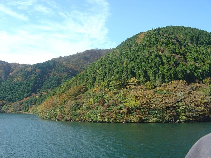
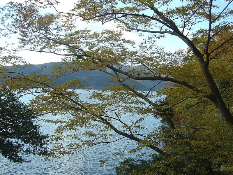
724 m above sea level, 43.5 deep: it was made by a landslide that blocked a river, 3,100 years ago.
From the Motohakone piers the whole view is right there: nineteen kilometres of shore, 6.9 km² of water, the bottom at 43.5 metres and, when the air is clear, Mount Fuji. There is no crater underneath: three thousand one hundred years ago a landslide from around Ōwakudani blocked the ancient Hayakawa River, and the water stayed. It is filled almost entirely by rain.
Crater lake in Hakone, with Mount Fuji in the background and the volcanic hot-spring area all around.
🚉 Hakonemachi-ko · 10 min walk
Holidays in Japan? Plan them with us.Over 2,000 real places, a day-by-day itinerary.FreeOpen the map →Dr. Stone
There is no shot to recognise: the lake and forests of Hakone inspired the landscapes of the petrified world.
Sources: anitabi.jp · tsubaky-life.com · hakone.or.jp
Nearby
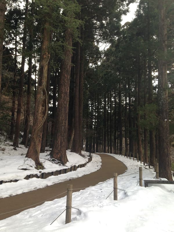 Hakone Old Tōkaidō Cedar Avenue300 mphoto by そらみみ · CC BY-SA 3.0
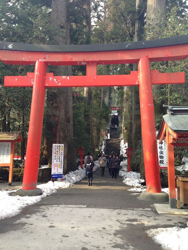 Hakone Shrine1000 mphoto by そらみみ · CC BY-SA 3.0
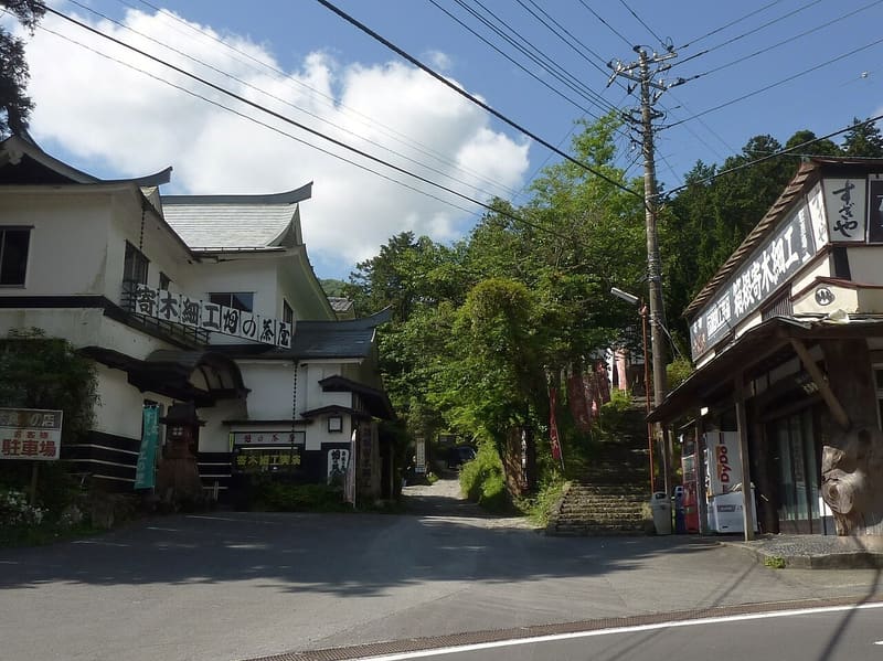 Hatajuku Craft Village3.9 kmphoto by Quercus acuta · CC BY-SA 4.0
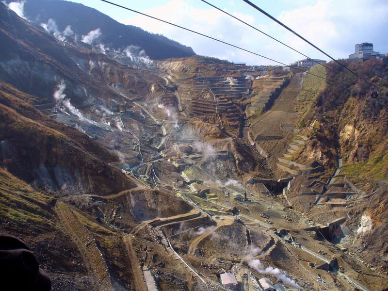 Ōwakudani — Hakone5.5 kmphoto by ohkubo · CC BY-SA 3.0