
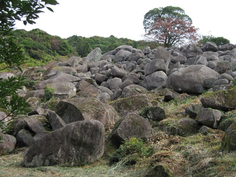
National Natural Monument since 1935: almost 4,000 m² of rounded quartz diorite boulders, some of them 6 metres wide, piled up on a mountain slope.
The boulder field lies at Isasaki-Okumanokura, in the municipality of Mine, on a mountain slope between 320 and 380 metres above sea level: about 110 metres long by 30–40 wide, 3,967 m² in all. Quartz diorite blocks 1–6 metres in diameter, rounded and piled up in layers, form what in Japanese is called a ‘sea of stones’ (石海): a rare geological phenomenon whose origin is debated between a mountain collapse caused by crustal movement and slow weathering along the rock's fracture planes, datable to between the late Yayoi and the Pleistocene. Among the boulders, the heat of the rocks exposed to the sun lets tropical-type ferns grow alongside mosses and lichens in the dampest areas.
National Natural Monument in the municipality of Mine, in the same karst basin as Akiyoshidai but in a separate area, about ten km from the plateau.
ℹ️ No opening hours or ticket appear in the sources: an open-air natural site, presumably always accessible; check on site for any access path.
Holidays in Japan? Plan them with us.Over 2,000 real places, a day-by-day itinerary.FreeOpen the map →Sources: www2.city.mine.lg.jp · ja.wikipedia.org
Nearby
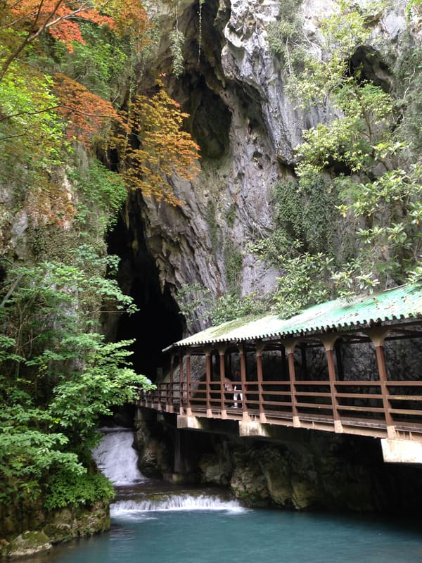 Akiyoshidō Cave12.2 kmphoto by そらみみ (Soramimi) · CC BY-SA 4.0
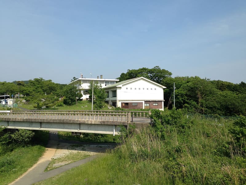 Akiyoshidai Natural Science Museum12.3 kmphoto by そらみみ (Soramimi) · CC BY-SA 4.0
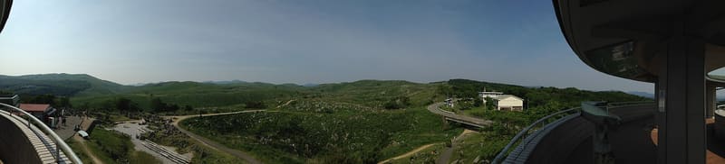 Akiyoshidai Karst Plateau12.9 kmphoto by そらみみ (Soramimi) · CC BY-SA 4.0