
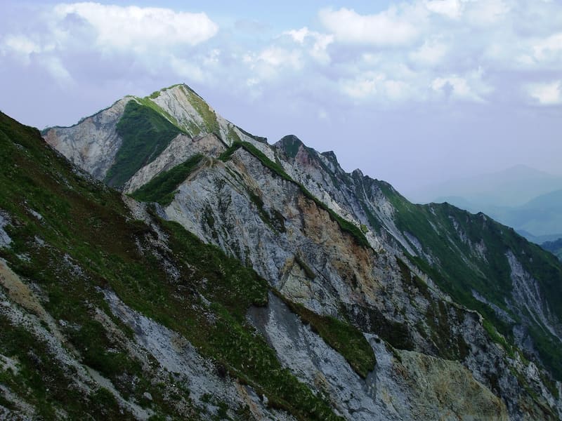
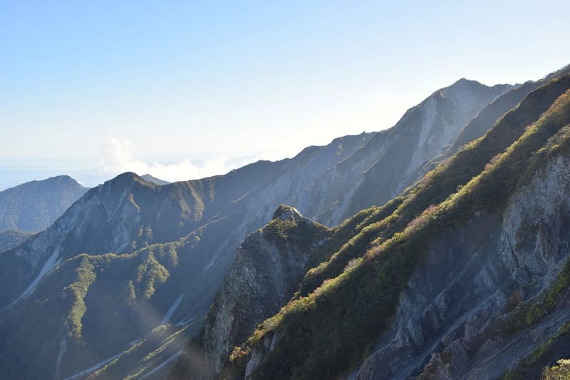
The true summit, Kengamine (1729 m), is closed because of a landslide: you can only climb as far as Misen, 1709 m.
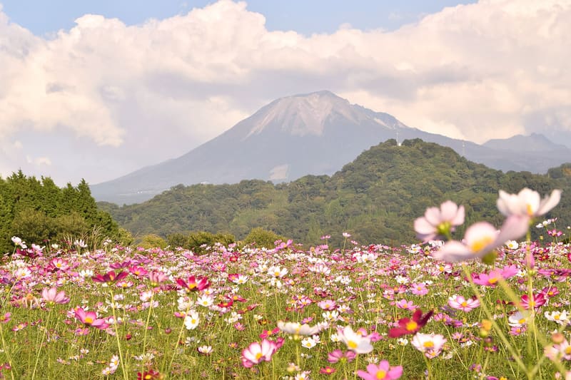
A complex volcano and the highest peak in the Chūgoku region: the geometrically highest point, Kengamine (1,729 m), is closed to walkers because of severe erosion of the ridge, and climbers stop at Misen (1,709 m), in practice considered the summit. Since the sixties a voluntary reforestation movement, ‘one tree, one stone’ (一木一石運動), has asked every hiker to carry a seedling or a stone to the summit to stabilise the bare slopes left by the hiking boom of those years: it continues to this day.
It already appears in the Izumo Fudoki of the year 733 under the name Honogami-no-take. It has been sacred for centuries, and is part of Daisen-Oki National Park together with the Oki archipelago.
ℹ️ Trails are always open except in bad weather; the ban on the stretch to Kengamine is an administrative instruction (requested by the prefectural police and the accident-prevention association), not a legal obligation, but the landslide is real and the traverse is still not recommended. No entrance ticket for the mountain.
Holidays in Japan? Plan them with us.Over 2,000 real places, a day-by-day itinerary.FreeOpen the map →Sources: chushikoku.env.go.jp · yamareco.com
Nearby
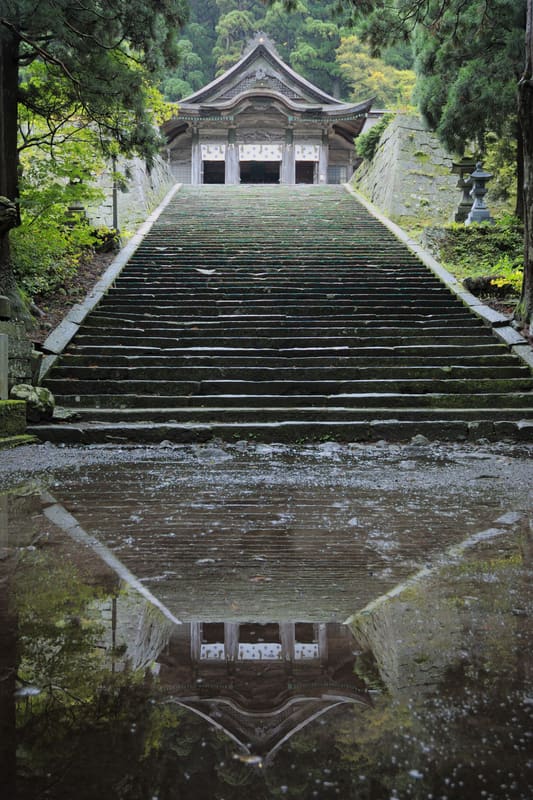 Ōgamiyama Jinja Okunomiya1.1 kmphoto by mstk east · CC BY 2.0
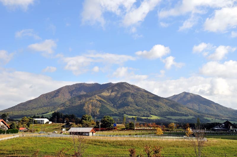 Hiruzen Plateau10.9 kmphoto by Reggaeman · CC BY-SA 3.0
 Tottori Hanakairō — flower park11.4 kmphoto by Raita Futo from Tokyo, Japan · CC BY 2.0