
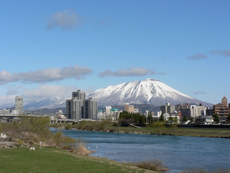
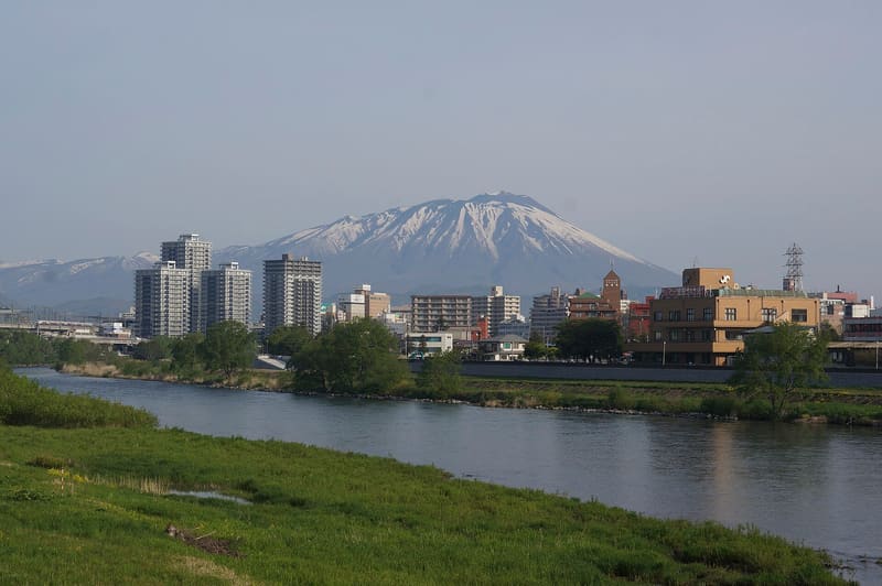
From the east it is a perfect cone, from the west a collapsed one: that is why it is the ‘lame Fuji’ of Nanbu.
Seen from the east, towards Morioka, it is a symmetrical postcard cone; seen from the west its flank is collapsed and irregular, from an ancient collapse of the volcanic edifice, hence the nickname ‘Nanbu Katafuji’, the ‘lame Fuji of Nanbu’. It is an active volcano with two calderas, 2,038 metres high, with historic eruptions in 1686–87 and 1731–32 (the latter produced the Yakehashiri lava flow) and a phreatic explosion in 1919.
The symbol of Iwate, and one of the hundred most famous mountains of Japan. The climbing season conventionally opens on the first of July.
ℹ️ The loop from the Yanagisawa trail (馬返し), the most direct, takes 8 hours and 6 minutes there and back in a day. On 27/08/2026 the Meteorological Agency brought the volcanic alert level back from 2 to 1: before climbing you should still check the latest status, because it is an active volcano and the trails have been closed in the past at short notice.
Holidays in Japan? Plan them with us.Over 2,000 real places, a day-by-day itinerary.FreeOpen the map →Sources: ja.wikipedia.org · yamakei-online.com · jma.go.jp
Nearby
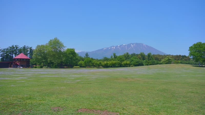 Koiwai Farm9.5 kmphoto by 掬茶 · CC BY-SA 4.0
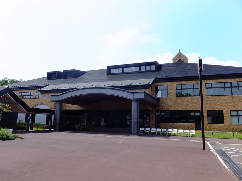 Morioka Artisans' Village15.8 kmphoto by 掬茶 · CC BY-SA 4.0
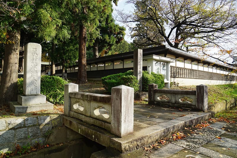 Hōon-ji16.9 kmphoto by 663highland · CC BY-SA 4.0
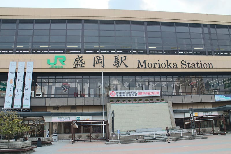 Morioka Station16.9 kmphoto by Suicasmo · CC BY-SA 4.0