
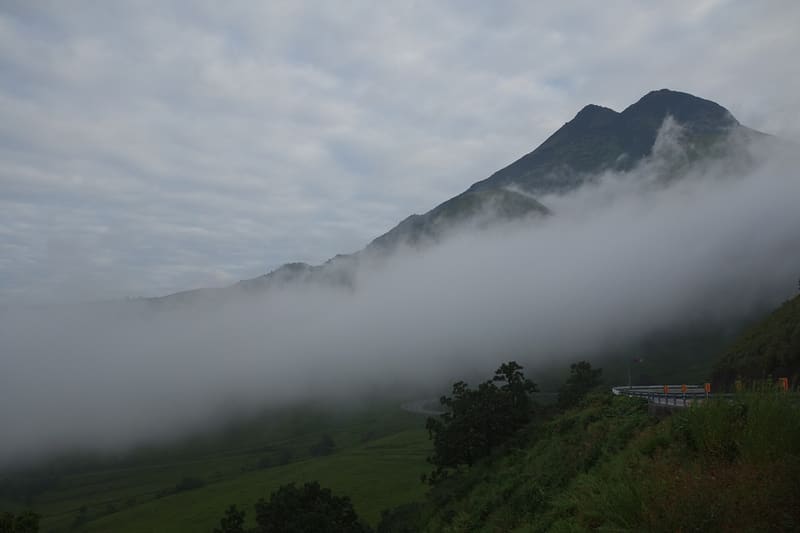
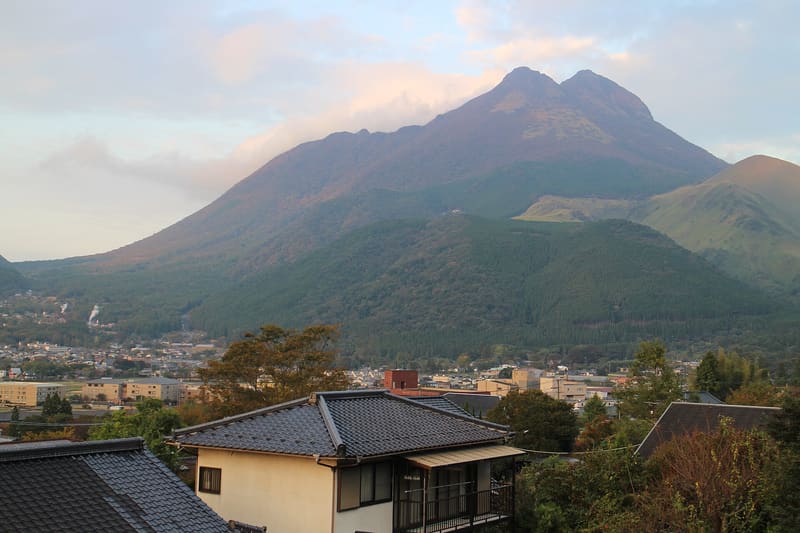
The ‘Fuji of Bungo’, 1,583 m, three peaks on the rim of an ancient crater.
Nicknamed Bungo-Fuji (豊後富士) for its symmetrical profile as seen from Yufuin, it is 1,583 m high. The main trail (正面登山口) starts from a car park at about 780 m above sea level on Route 11, with an elevation gain of about 800 m to the summit. The mountain has three peaks (Nishi-mine, Higashi-mine and Ken-ga-mine) arranged on the rim of an extinct crater, which can be walked as a loop (お鉢めぐり). It is the symbolic mountain of the hot-spring town of Yufuin, at its foot.
Dormant volcano in the hinterland of Beppu, above the hot-spring town of Yufuin and Lake Kinrin; both were already rejected under the onsen cap (§7.3), but the mountain itself had never been looked for as an entry of its own.
ℹ️ Trail freely accessible, no set hours and no ticket. Main trail car park: free, about 30 spaces, toilets; paid car park opposite, about 30 spaces (cars ¥500, minibuses ¥1,000, buses ¥2,000). Access: Yufudake Smart IC exit of the Oita Expressway, then about 10 minutes; or Yufuin IC exit via prefectural roads 216 and 11.
🚉 由布登山口 (Yufu-tozanguchi) · 43 min walk
Holidays in Japan? Plan them with us.Over 2,000 real places, a day-by-day itinerary.FreeOpen the map →Sources: yamakei-online.com · 360navi.com
Nearby
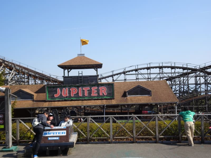 Kijima Kogen Park3.9 kmphoto by Martin Lewison · CC BY-SA 2.0
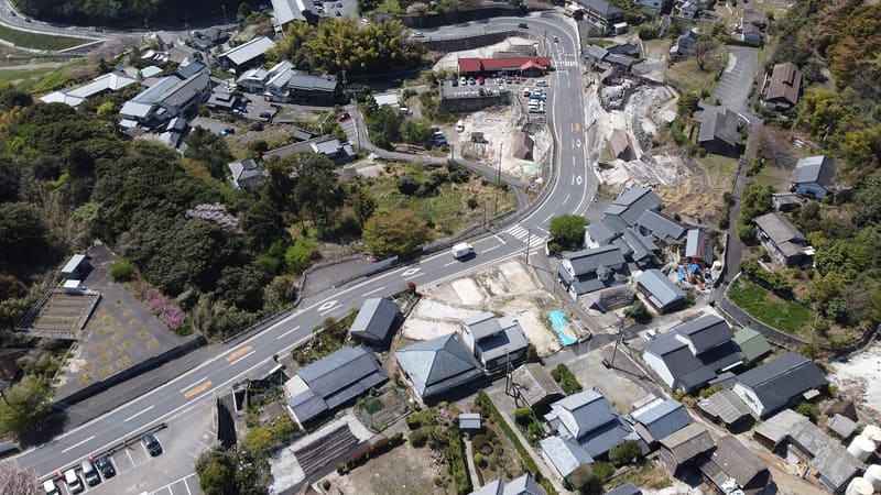 Myōban Onsen7 kmphoto by 松岡明芳 · CC BY-SA 4.0
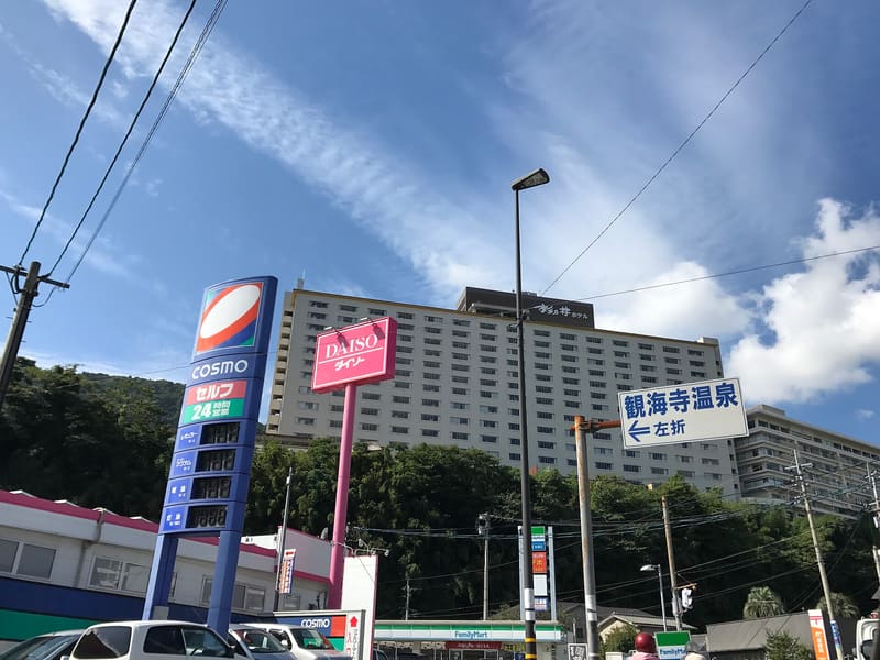 Suginoi Palace / Hotel Suginoi8 kmphoto by そらみみ · CC BY-SA 4.0
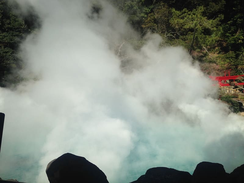 Umi Jigoku — the Sea Hell8.2 kmphoto by そらみみ (Soramimi) · CC BY-SA 4.0