
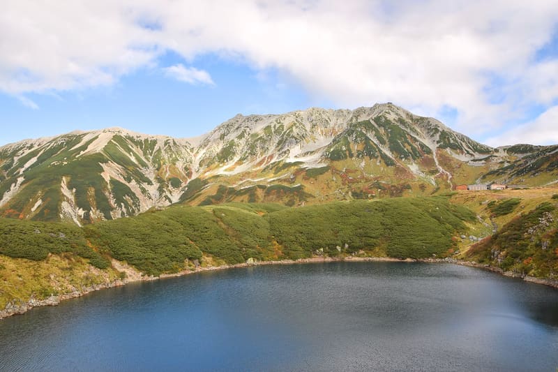
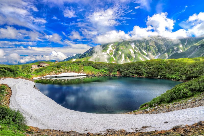
At 2,450 metres, the highest volcanic lake in Japan: the snow wall reached 16 m in 2025.
Murodo is the highest terminus of the Tateyama Kurobe Alpine Route, at 2,450 metres on a lava plateau of the same Tateyama volcano. A 10–15 minute walk from the terminal you look out over Mikuriga-ike, the deepest volcanic lake in the Northern Alps (15 metres, 630 metres in circumference), which in early summer still reflects leftover snow on the flanks of the peaks close to 3,000 metres. A little further on, the road towards the pass stays trapped between walls of snow cleared every spring (the ‘Yuki no Ōtani’), up to 20 metres high in record years; in 2025 the wall reached 16 metres, and 500 metres of it could be walked from 15 April to 25 June.
The alpine heart of the Tateyama Kurobe Alpine Route, in Tateyama municipality, inside Chūbu-Sangaku National Park: the only point in the range you can reach without climbing, by ropeway and bus.
ℹ️ Reachable only by the Alpine Route's transport (ropeways, buses, gondola lift), open seasonally from mid-April to late November; outside this period the area cannot be reached. Exact prices and times change every year: check the official site before setting off. Source: official Alpine Route website.
🚉 Murodō · 9 min walk
Holidays in Japan? Plan them with us.Over 2,000 real places, a day-by-day itinerary.FreeOpen the map →Sources: alpen-route.com · knb.ne.jp · ja.wikipedia.org
Nearby
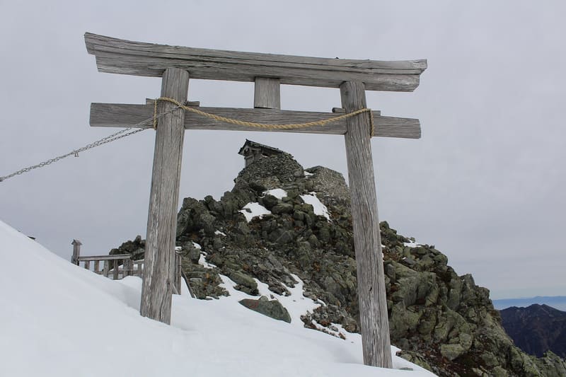 Oyama Shrine — Minehonsha (summit of Tateyama)2 kmphoto by Alpsdake · CC BY-SA 4.0
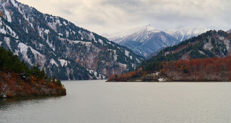 Kurobe Dam6 kmphoto by lumoplank · CC0
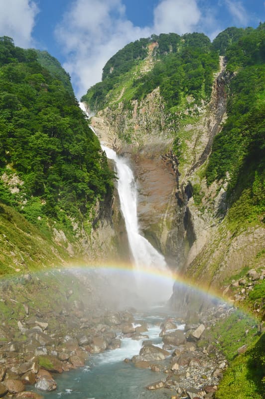 Shōmyō Falls6.6 kmphoto by Saigen Jiro · CC0
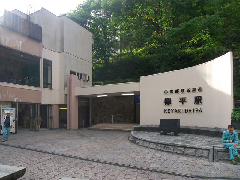 Keyakidaira Station – Kurobe Gorge14 kmphoto by Yasu ( talk ) · CC BY-SA 3.0