
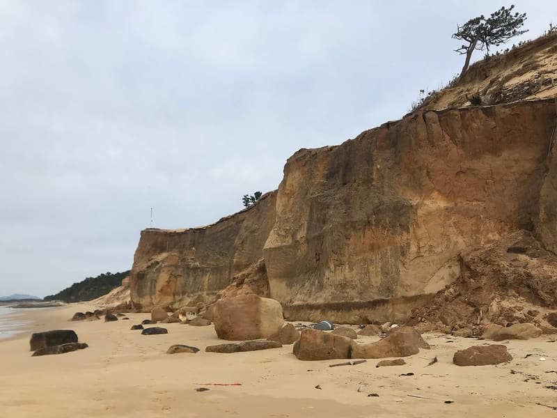
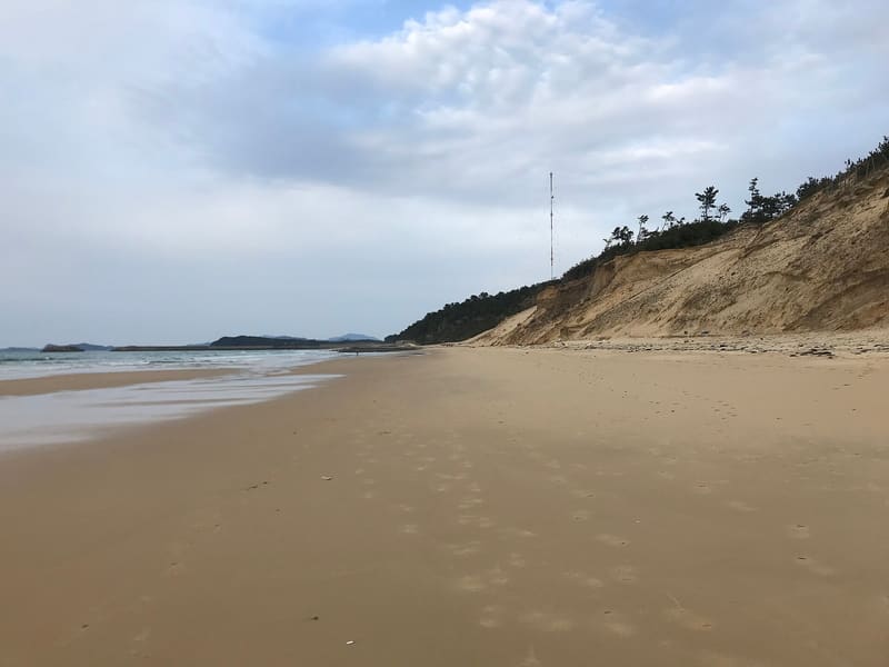
In the Edo period the Nata coast was one of the eight views of Hakata, under the name Nata Rakugan, and its white sand dunes run for more than 10 km to the island of Shikanoshima.
Along one stretch, erosion by sea currents has cut a wall of sand into the dune, the ‘Nata Fault’, which has become one of the best-known photo spots in Fukuoka. Above the pine grove that lines the beach stands Shiki Shrine. From mid-July to the end of August the beach has a seasonal beach house with showers and beach volleyball nets for swimmers.
A stretch of coast in Higashi Ward, Fukuoka City, facing Hakata Bay and connected by land to the island of Shikanoshima. The white sand dunes run for more than 10 km towards Shikanoshima. In the Edo period the coast was known as Nata Rakugan (奈多落雁) and was counted among the eight views of Hakata (博多八景). On the dune, above the pine grove, stands Shiki Shrine (志式神社). One stretch of the beach, eroded by the currents, forms a wall of sand nicknamed the ‘Nata Fault’, described as one of the best-known photo spots in the city.
ℹ️ Public beach with no fence, always accessible. From mid-July to the end of August a seasonal beach house is open, with showers and beach volleyball nets for swimmers. On foot: about 25 minutes from JR Ganosu Station, about 16 minutes from JR Nata Station. No car park on site: use the paid car parks nearby.
🚉 Nata · 13 min walk
Holidays in Japan? Plan them with us.Over 2,000 real places, a day-by-day itinerary.FreeOpen the map →Sources: ja.wikipedia.org · yokanavi.com
Nearby
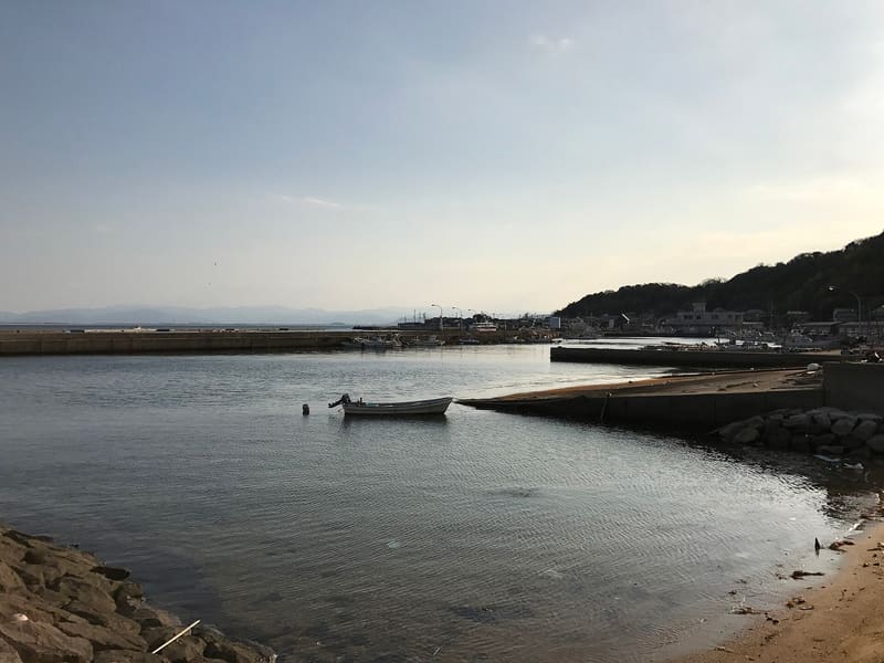 Ainoshima (cat island)8.2 kmphoto by そらみみ · CC BY-SA 4.0
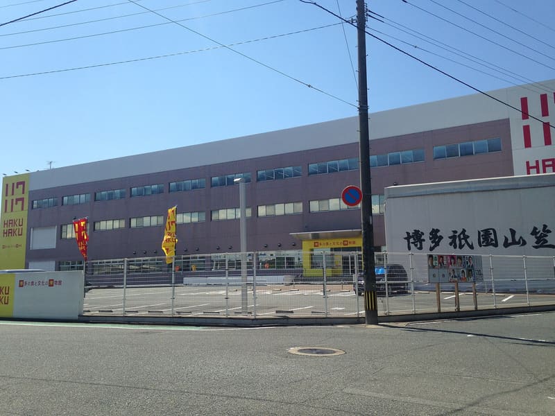 Hakuhaku — Fukuya Mentaiko Factory9.5 kmphoto by そらみみ (Soramimi) · CC BY-SA 4.0
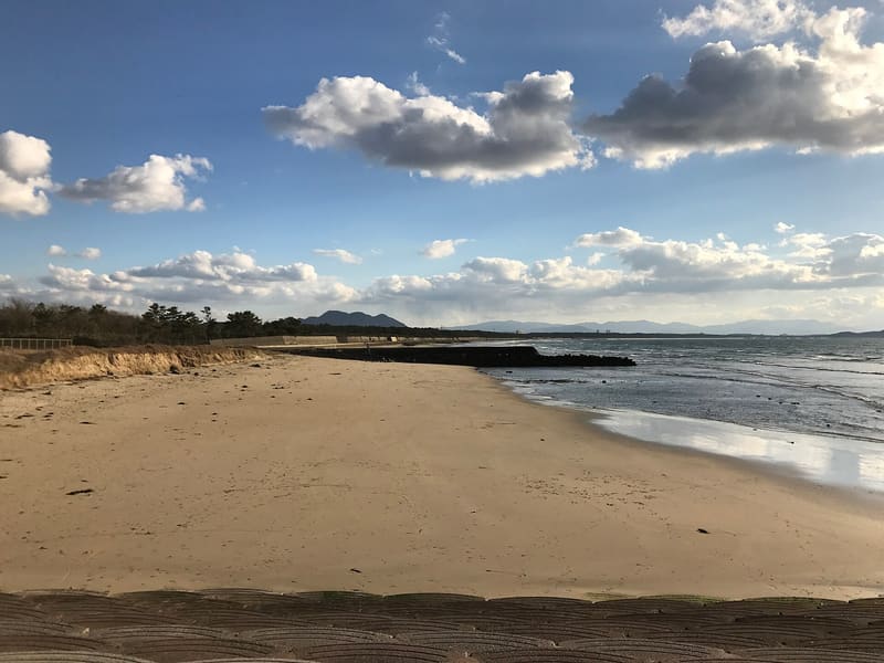 Kagami no Umi — the mirror coast of Fukutsu10 kmphoto by そらみみ · CC BY-SA 4.0
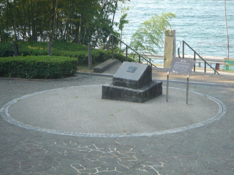 Kinin Kōen — Gold Seal Park (Shikanoshima)10.7 kmphoto by MAKIKO OMOKAWA · CC BY-SA 3.0