
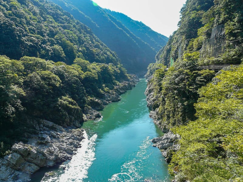
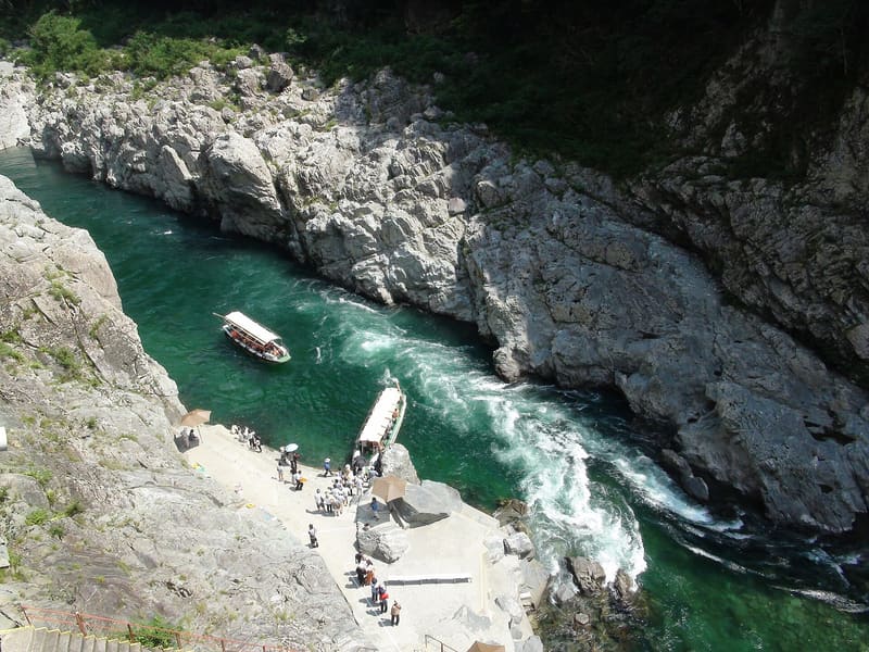
Natural Monument since 2014: the Yoshino River has cut for kilometres through blue-green schist.
The Yoshino River runs narrow between walls of mottled green-blue schist, the ‘Awa blue stone’, smoothed into rounded shapes over about 6.5 km of its course. An open boat leaves right from here and goes upstream for about 4 km in half an hour, passing beneath walls that in places close in to within a few metres of the water. The central stretch, 1.1 km long, is designated a national Place of Scenic Beauty.
Gorge carved out along the upper reaches of the Yoshino River, Miyoshi municipality: the rock formation belongs to the Sambagawa metamorphic belt. National Natural Monument since 18 March 2014, Place of Scenic Beauty (名勝) since 7 October 2015, extended to the Koboke section on 13 February 2018. The JR Dosan Line runs through it, with its own station (Ōboke).
ℹ️ The sightseeing boat (boarding at Yamashiro-cho Nishi-u, Miyoshi municipality) runs from 9:00 to 17:00 (last departure 16:30), about 30 minutes over a 4 km route; adults ¥1,800, children ¥900, open all year except in strong wind or flood. The gorge can also be seen for free from National Route 32 and from the train on the JR Dosan Line.
Holidays in Japan? Plan them with us.Over 2,000 real places, a day-by-day itinerary.FreeOpen the map →Sources: ja.wikipedia.org · mannaka.co.jp
Nearby
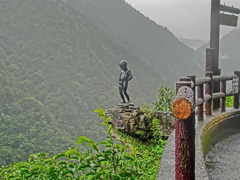 Shōben-kozō, the boy above the Iya Gorge6.5 kmphoto by メルビル · CC BY-SA 4.0
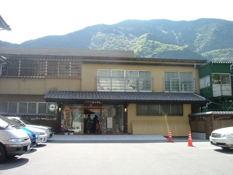 Iya Onsen8.8 kmphoto by As6022014 · Public domain
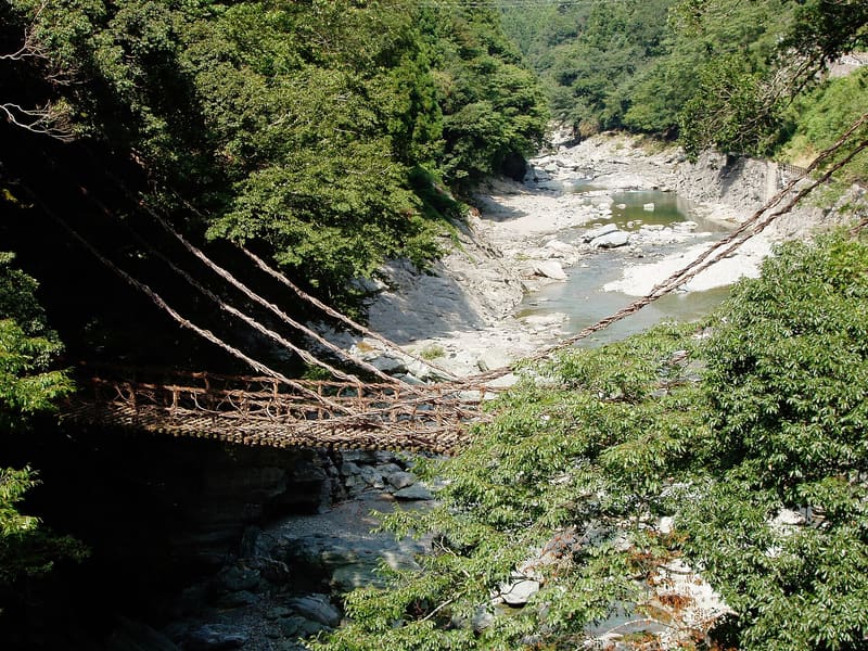 Iya Kazurabashi9.3 kmphoto by Yamato · CC BY-SA 3.0