
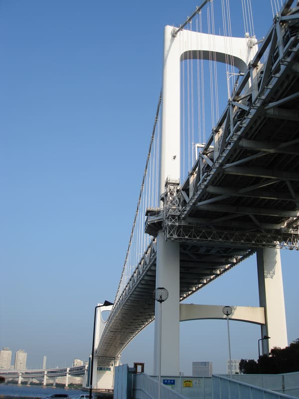
1.7 km on foot above the bay: 20–30 minutes each way, free, no cars.
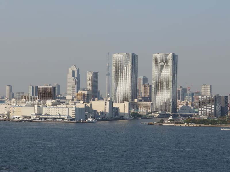
You walk beneath the motorway deck, with the bay on one side and Tokyo Tower on the other. The pedestrian walkway has two routes (south, towards Odaiba; north, towards the inner bay), and you can take one on the way out and the other on the way back, to see the bridge from both sides. There is no way to cross it in your own car: the walkway can only be reached on foot, from the lifts in the two anchorage towers.
The bridge, officially named Tōkyō-kō Renrakukyō, opened on 26 August 1993 after work begun in 1987 by Kawasaki Heavy Industries: it links Shibaura to Odaiba over Tokyo Bay with a 798-metre double-deck structure that carries the motorway, the Yurikamome line and the pedestrian walkway together. The English name, chosen by public vote, is the one that stuck; the official Japanese name never entered everyday language.
ℹ️ Free pedestrian walkway: 9:00–21:00 from April to October, 10:00–18:00 from November to March (last entry 30 minutes before closing); special opening from 10:00 on 31/12 to 18:00 on 1/1; closed on the third Monday of the month (the following day if that Monday is a public holiday). No car park. Access on foot from Shibaura-futō or Tamachi on the Tokyo side, or from Odaiba-Kaihinkōen on the bay side.
🚉 Odaiba-kaihinkoen · 25 min walk
Holidays in Japan? Plan them with us.Over 2,000 real places, a day-by-day itinerary.FreeOpen the map →Sources: kouwan.metro.tokyo.lg.jp · visit-minato-city.tokyo · en.wikipedia.org
Nearby
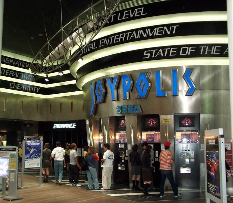 Official Attack on Titan attraction (Tokyo Joypolis)1.3 km
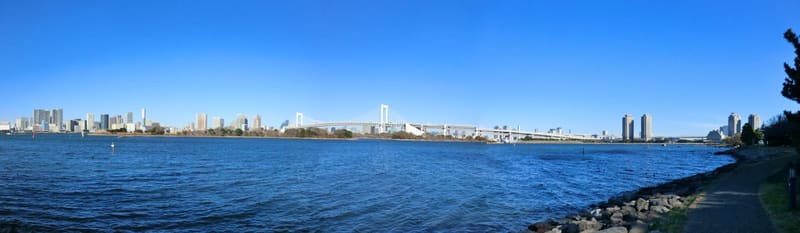 Odaiba Marine Park1.3 kmphoto by resource70 · CC BY 3.0
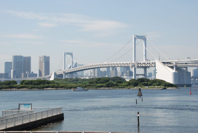 Odaiba1.3 kmphoto by Maarten Heerlien from Voorschoten, The Netherlands · CC BY 2.0
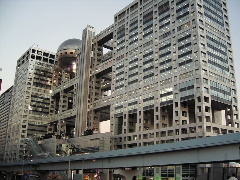 Fuji TV Headquarters1.4 kmphoto by Nicholas Wang · CC BY-SA 2.0