
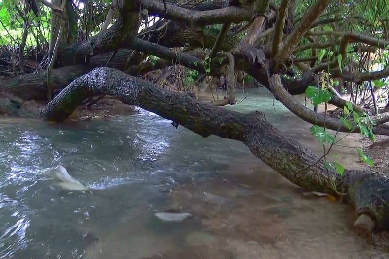
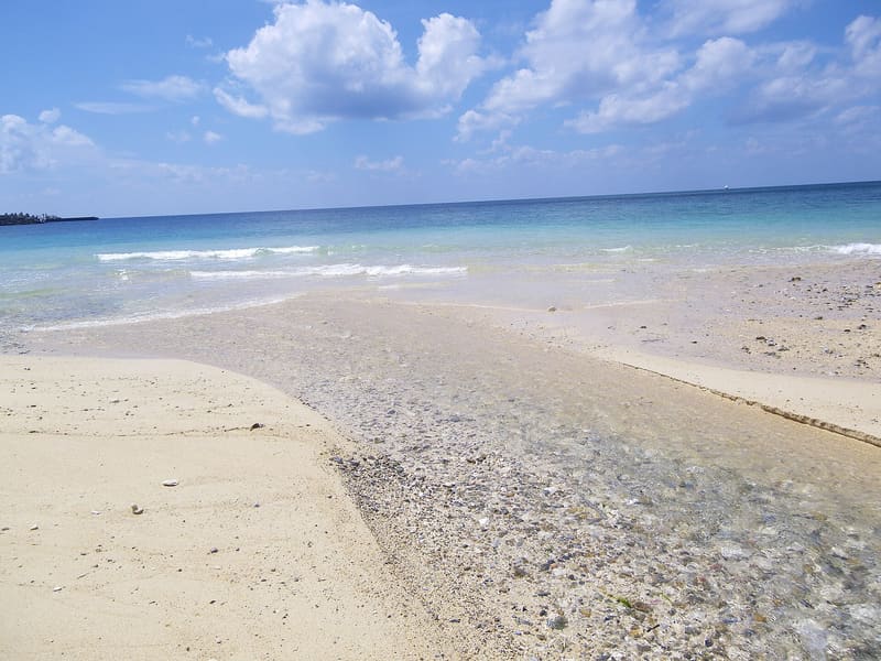
A hundred metres of salt river, and the Ministry writes that the reason is unknown.
It is a stream two metres wide and about a hundred long, some thirty centimetres deep all year round, that comes out of the ground a hundred and fifty metres from the coast and carries salt water. The text of the state designation says that the ground is limestone and that the mechanism probably has something to do with the caves, but that it ‘is not yet clear’: it says so, in black and white, and has done since 1972. In the water lives a red alga that in Japan is found only here.
A brackish watercourse in the hamlet of Sakimotobu, in Motobu, known locally as Sugā. It has been a national Natural Monument since 15 May 1972, the day Okinawa returned to Japan; it had already been a Natural Monument of the Ryūkyū government since July 1970. The Ministry of the Environment classifies it as an important wetland for its red alga, a threatened species.
ℹ️ You can visit freely: a path towards the woods starts from the sign on the road. The car park is free, on the other side of the road.
🚉 塩川 · in front of the station
Holidays in Japan? Plan them with us.Over 2,000 real places, a day-by-day itinerary.FreeOpen the map →Sources: kunishitei.bunka.go.jp · town.motobu.okinawa.jp
Nearby
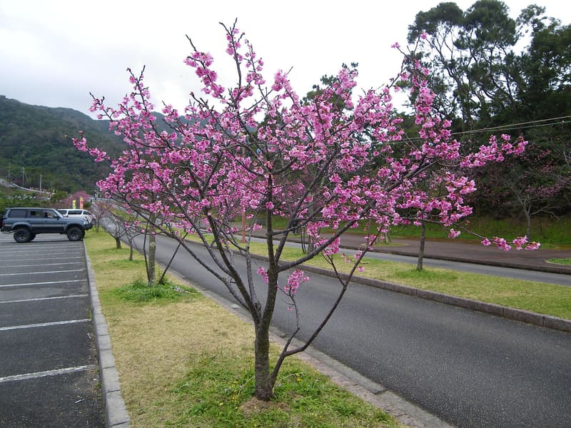 Yaedake Cherry Tree Forest4.5 kmphoto by Kugel~commonswiki · CC BY-SA 4.0
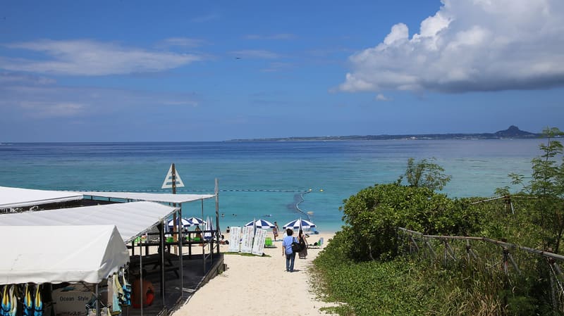 Sesoko Beach5.2 kmphoto by へいへ · CC BY-SA 4.0
 Okinawa Churaumi Aquarium8.9 kmphoto by Jordy Meow · CC BY-SA 3.0
 Nakijin Castle9 kmphoto by 690 Noda · CC BY 3.0