
You see the islets of Tango Matsushima from in the water, not from a viewpoint.
You wade into the water and the islets of Tango Matsushima are in front of you, at the same height: the viewpoint on the coast looks at them from above, from here you look at them from in the water. On either side the rock forms pools to explore, and people fish from the shore. The waves are big enough for surfing, so even out of season there is someone in the water.
A beach of fine white sand below the Tango coast road, separated from 平 Beach by a stream and facing the group of islets called Tango Matsushima. It has rocks on either side and an adjoining campsite with car pitches.
ℹ️ ⚠️ No public transport to get there is stated: in open sources only the coast road and the campsite with car access appear. ⚠️ It has facilities in July and August; for the rest of the year it is a shoreline with no facilities. It works as a base for a beach day on this stretch of coast.
🚉 宇川小学校 · 5 min walk
Holidays in Japan? Plan them with us.Over 2,000 real places, a day-by-day itinerary.FreeOpen the map →Sources: kyotango.gr.jp · uminokyoto.jp
Nearby
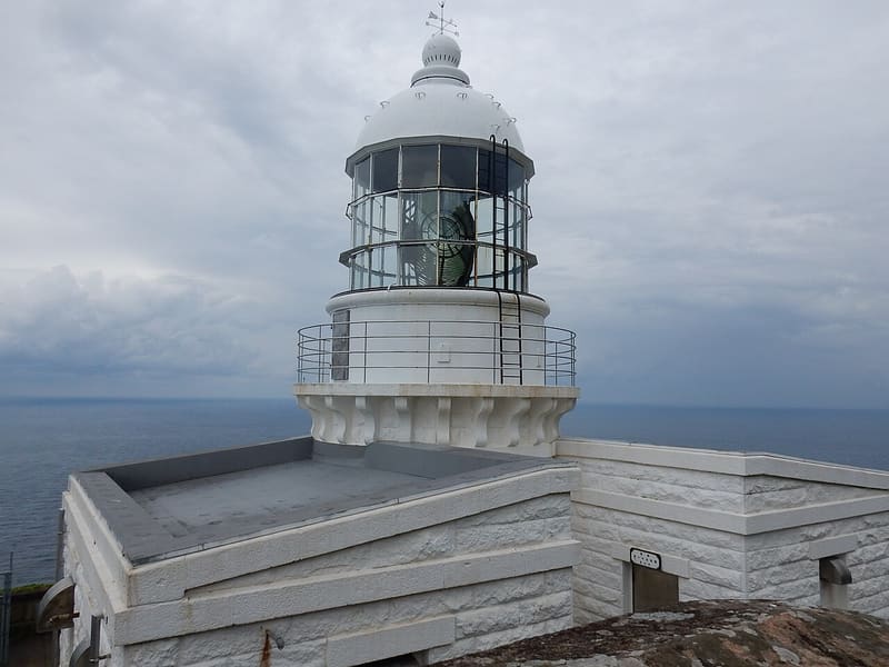 Kyogamisaki Lighthouse5.7 kmphoto by VinayaMoto · CC BY-SA 4.0
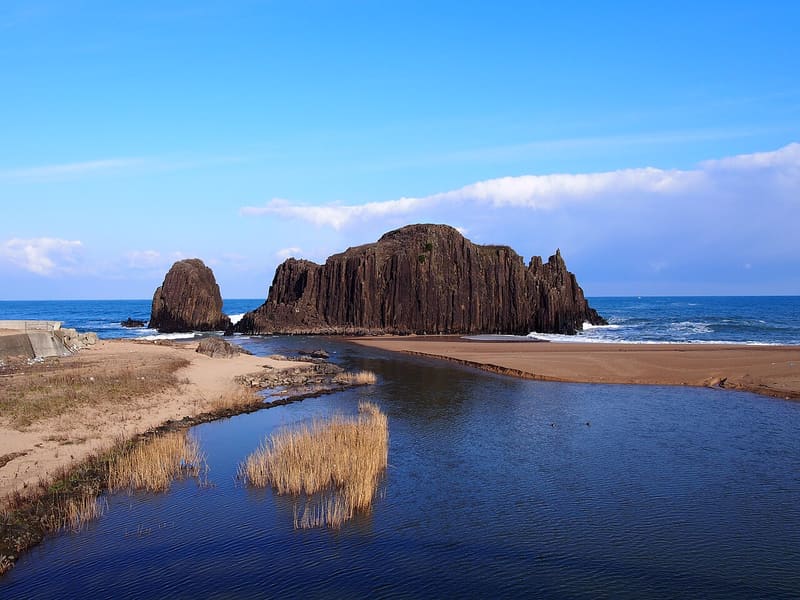 Tateiwa5.8 kmphoto by VinayaMoto · CC BY-SA 4.0
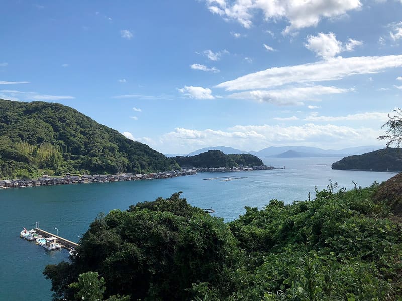 Ine no Funaya14 kmphoto by AsPJT · CC0
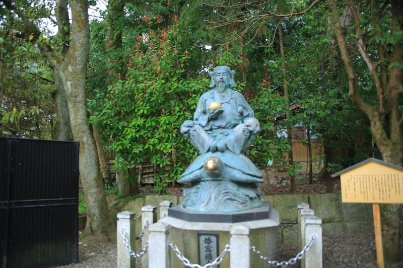 Motoise Kono-jinja18.9 kmphoto by Ray Swi-hymn from Sijhih-Taipei, Taiwan · CC BY-SA 2.0