
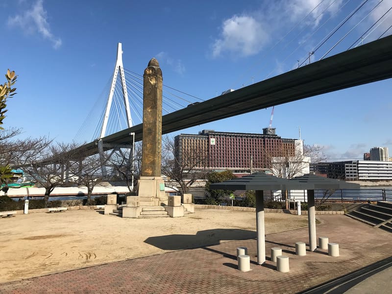
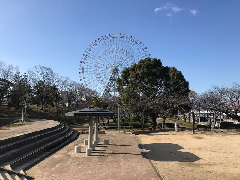
Four metres fifty-three, and at the top there is a real triangulation point.
It is 4.53 metres high and the climb takes about ten seconds, but on the summit there is a second-order triangulation benchmark, so on the maps of the geographical institute it is a mountain in every respect. The shops on the south side of the park issue a climbing certificate.
It is not a natural hill: it is the mound of earth dug out of the Aji River when it was dredged in 1831, piled up at the mouth to serve as a landmark for sailors. ⚠️ It lost the title of Japan's lowest mountain in 2014: after the 2011 earthquake Sendai's Hiyoriyama sank to 3 metres and the geographical institute recognised it as such. Tenpōzan remains the lowest of those built by people and of those with a second-order benchmark.
ℹ️ It is in Tenpōzan Park, outdoors and free, next to the aquarium and the port's Ferris wheel. Ōsakakō Station on the Chūō Line.
🚉 Ōsakakō · 7 min walk
Holidays in Japan? Plan them with us.Over 2,000 real places, a day-by-day itinerary.FreeOpen the map →Sources: ja.wikipedia.org
Nearby
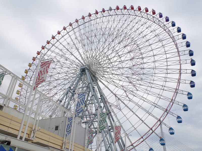 Tempozan Ferris Wheel400 mphoto by Nankou Oronain (as36… · CC BY-SA 3.0
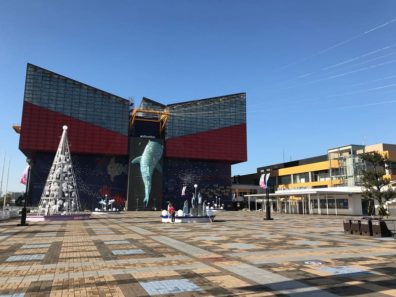 Kaiyūkan500 mphoto by そらみみ · CC BY-SA 4.0
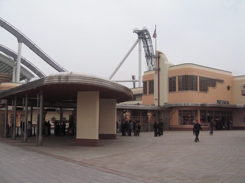 Universal Studios Japan800 mphoto by Terence Ong · CC BY 2.5
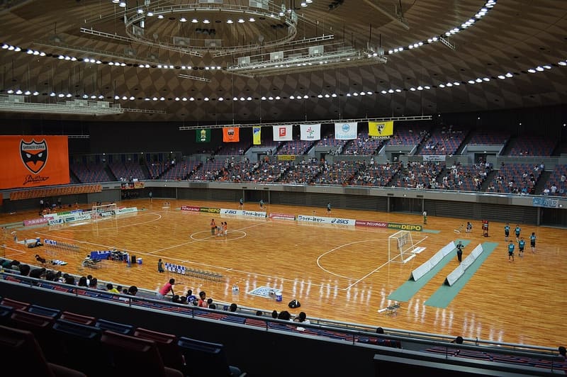 Osaka Central Gymnasium1.1 kmphoto by At by At · CC BY-SA 3.0