
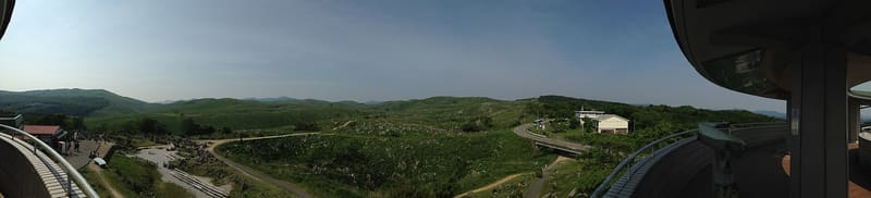
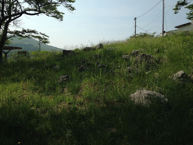
The limestone was born as a coral atoll 350 million years ago: the plate carried it here.
Fifty-four square kilometres of grassland dotted with white limestone pinnacles (カレンフェルト), the largest karst plateau in Japan. The rock formed about 350 million years ago as a coral atoll on an undersea volcano in the ancient Panthalassa Ocean, near the equator, and plate movement dragged it all the way here, incorporating it into the continent about 260 million years ago. Every year, at the end of February, a controlled fire (山焼き) burns the grassland to stop the woodland from taking it over: the practice replaces what once kept the plateau clear in the same way, the terraced farming in the sinkholes.
Quasi-national park since 1955, with 1,269 hectares of the eastern side (beyond the Kotō River) protected as a special natural monument since 10 July 1964. The designation came after the area risked becoming an air and naval training range in 1956: local opposition saved it. Beneath the grassland lie more than 400 recorded caves, including Akiyoshidō.
ℹ️ Open access, free of charge, no closing time on the trails and the grassland. The circular viewpoint (秋吉台カルスト展望台) and the natural science museum have their own opening hours and tickets, to be checked with the individual facilities.
🚉 秋吉台 · in front of the station
Holidays in Japan? Plan them with us.Over 2,000 real places, a day-by-day itinerary.FreeOpen the map →Sources: www2.city.mine.lg.jp · ja.wikipedia.org
Nearby
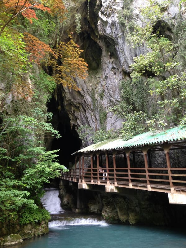 Akiyoshidō Cave700 mphoto by そらみみ (Soramimi) · CC BY-SA 4.0
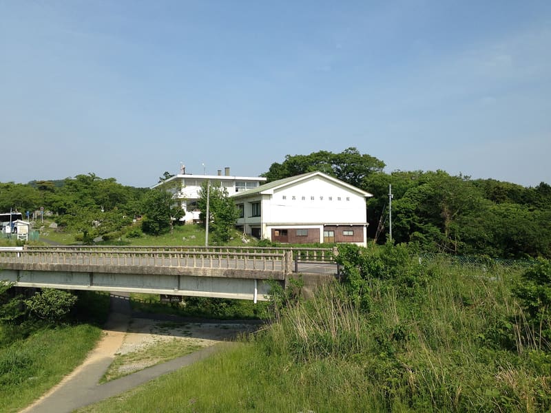 Akiyoshidai Natural Science Museum800 mphoto by そらみみ (Soramimi) · CC BY-SA 4.0
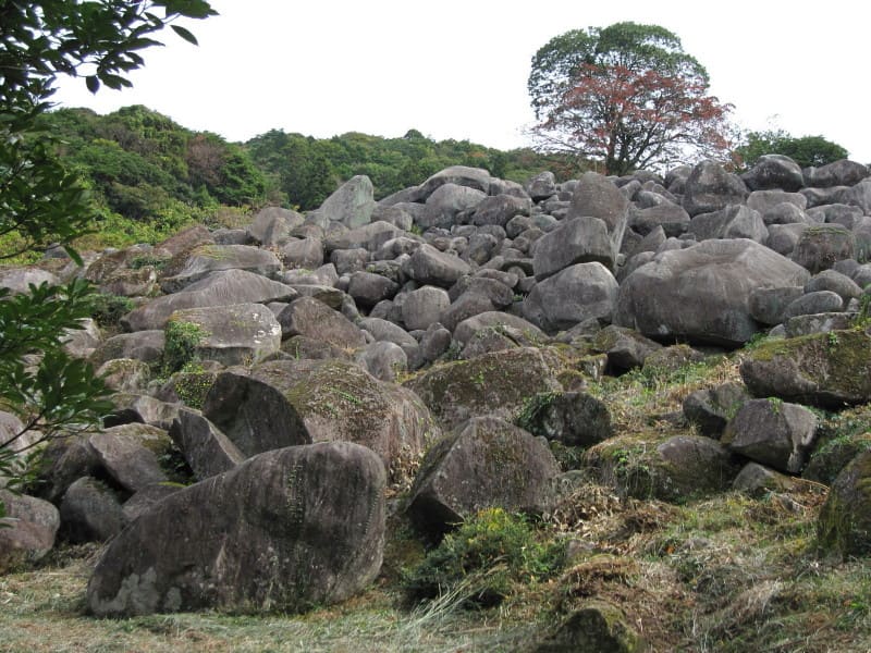 Manokura no Ōiwago, the boulder field12.9 kmphoto by 茂林寺たぬき · CC BY-SA 4.0
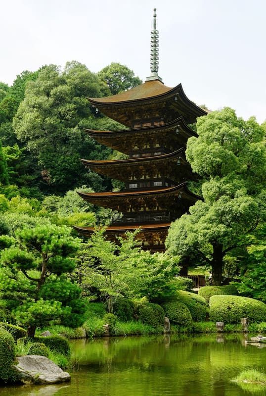 Rurikō-ji Five-storey Pagoda16.1 kmphoto by 663highland · CC BY 2.5