
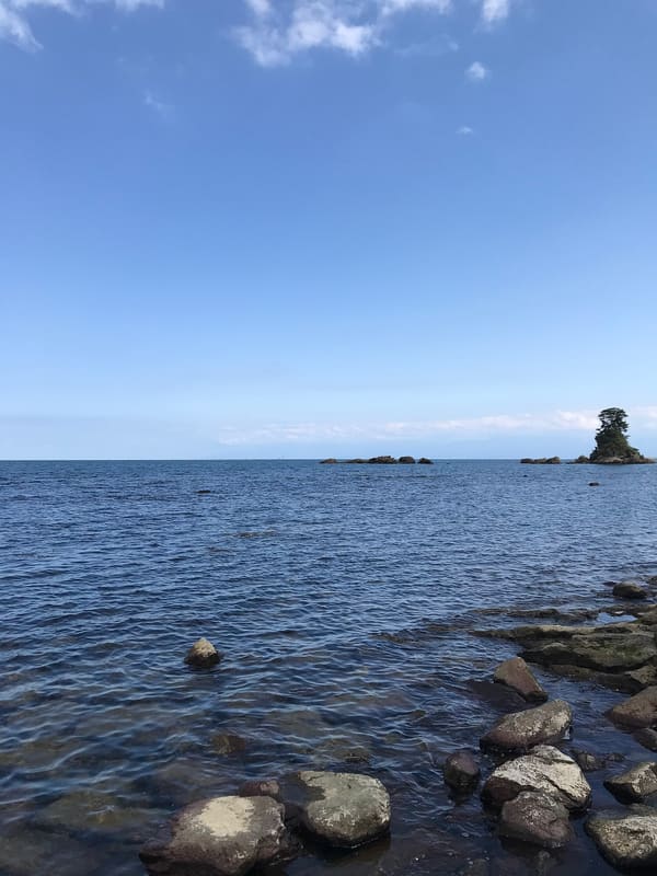
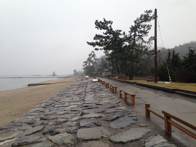
From here you can see the sea and peaks over 3,000 metres together: rare anywhere in the world.
The court poet Ōtomo no Yakamochi sang of this coast in the eighth century, in a poem collected in the Man'yōshū under the name ‘Ariso no umi’. Legend has it that in 1187 Minamoto no Yoshitsune, fleeing north, sheltered from a sudden downpour under a rock on the beach: from that act comes the name Amaharashi, ‘where it clears after the rain’. The train of the JR Himi Line runs over a short bridge right along the shore, with the snow-covered Tateyama range in the background: the most photographed postcard view in the prefecture, especially at dawn on the first of January.
Stretch of rocky coast in Takaoka municipality, inside Noto Peninsula Quasi-National Park (能登半島国定公園), with the ‘female’ rock (女岩) offshore.
ℹ️ Public coast, always accessible. The best viewpoint is at JR Amaharashi Station, on the Himi Line; on the first of January, when the sun rises behind the snowy peaks, it draws crowds and queues of cars. Source: Ota-Amaharashi tourist association.
🚉 Amaharashi · in front of the station
Holidays in Japan? Plan them with us.Over 2,000 real places, a day-by-day itinerary.FreeOpen the map →Sources: oota-amaharashi.jp · dragonroute.net
Nearby
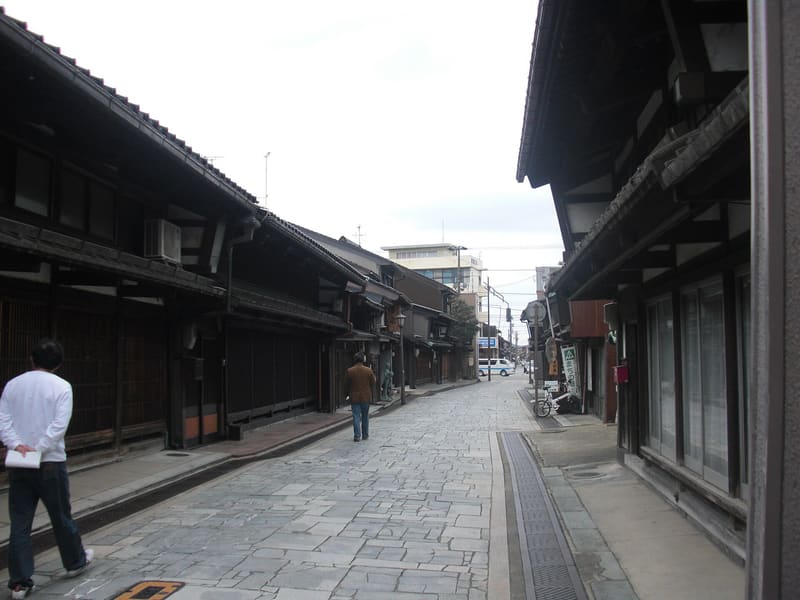 Kanaya-machi historic district7.9 kmphoto by Miyuki Meinaka · Public domain
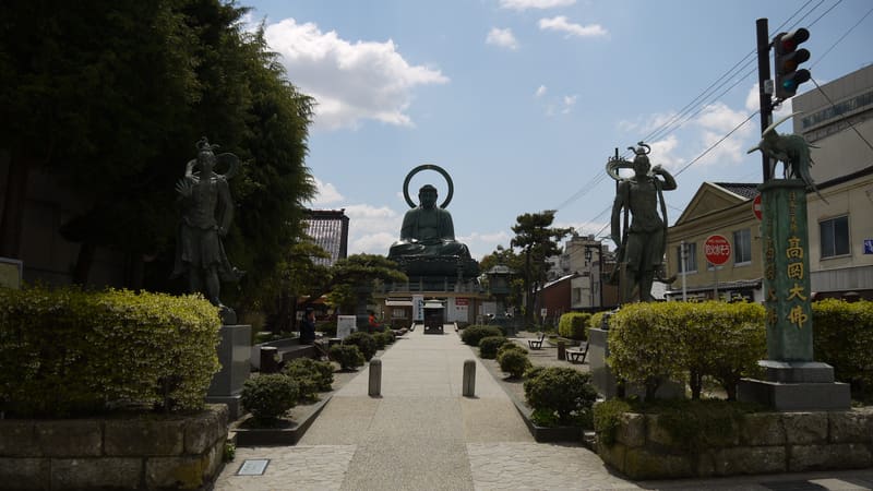 Takaoka Great Buddha8.1 kmphoto by baggio4ever · CC BY 3.0
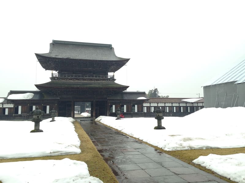 Zuiryū-ji9.3 kmphoto by そらみみ · CC BY-SA 4.0
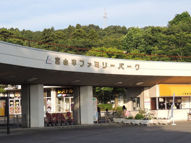 Toyama Family Park17.1 kmphoto by TOMINARI · CC BY-SA 4.0