
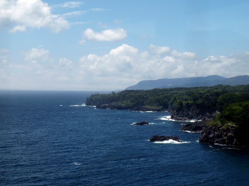
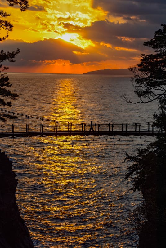
Lava from Mount Ōmuro, 4,000 years ago: the Jōgasaki Suspension Bridge is 23 m above the waves.
The black, jagged cliffs are solidified lava: the eruption of nearby Mount Ōmuro, about 4,000 years ago, poured out flows that advanced almost two kilometres into the sea. The most photographed spot is the Kadowaki Suspension Bridge, 48 metres long and 23 high above the waves breaking below; next to it, the terrace of the Kadowaki Lighthouse looks out over the Izu Islands and the Amagi Mountains through 360 degrees.
The coast is part of Fuji-Hakone-Izu National Park and stretches for several kilometres between headlands of volcanic rock and coastal pine groves. Two trails run along it: a scenic route of about 9 km and a nature trail of about 6 km through the primary forest that covers the lava.
ℹ️ Free access to the coast and trails at all times. Car park: first 15 minutes free, then 500 yen per day. 35 minutes on foot from Jōgasaki Kaigan Station. Pets allowed.
🚉 Izu-Kōgen · 7 min walk
Holidays in Japan? Plan them with us.Over 2,000 real places, a day-by-day itinerary.FreeOpen the map →Sources: hellonavi.jp · ja.wikipedia.org
Nearby
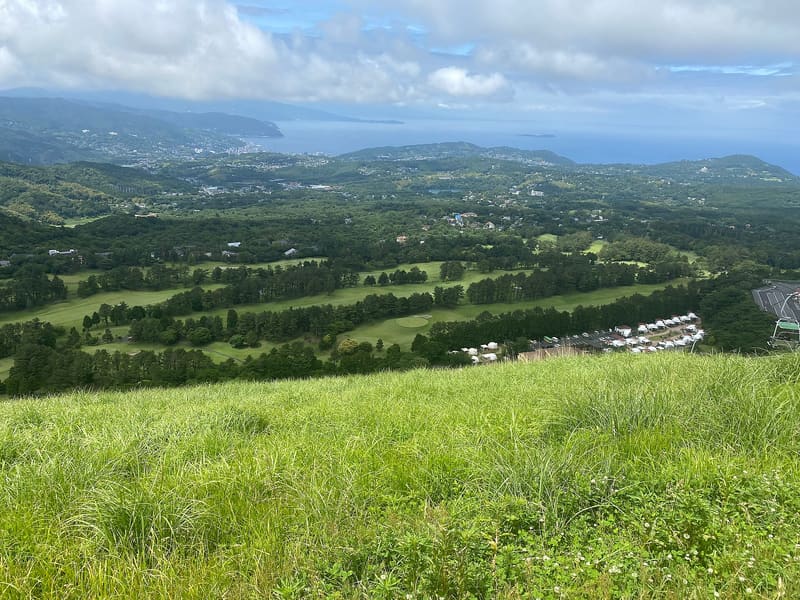 Mount Ōmuro3.6 kmphoto by Immanuelle · CC BY 4.0
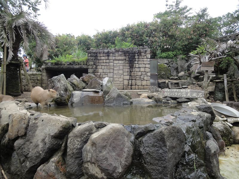 Izu Shaboten Zoo and Cactus Park3.9 kmphoto by inunami · CC BY 2.0
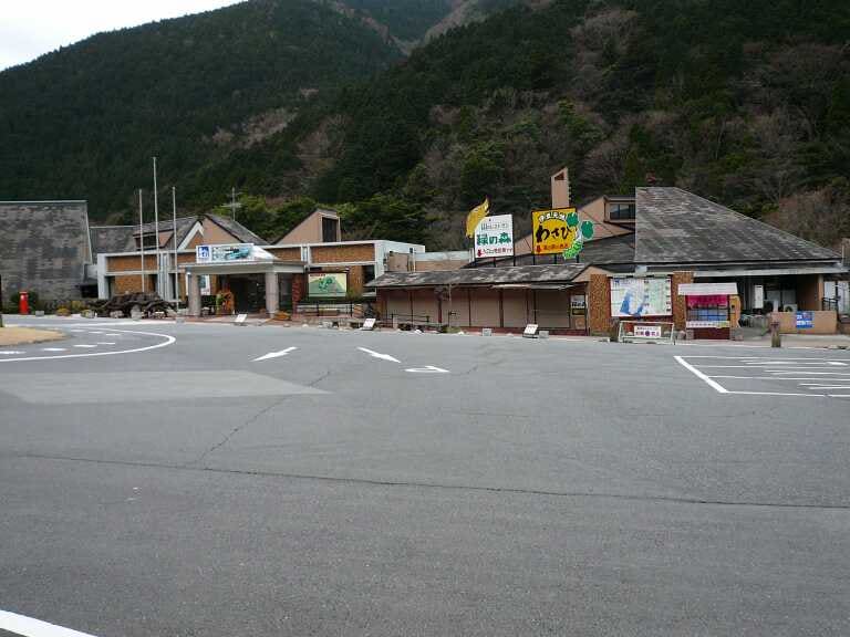 Amagi Wasabi Fields17.2 kmphoto by Zerozeroman00 · CC BY-SA 3.0