
The name dates from 1922: the writer Tokutomi Sohō changed it; before that, it was called Tomigahana.
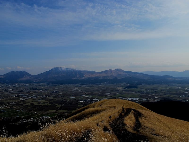
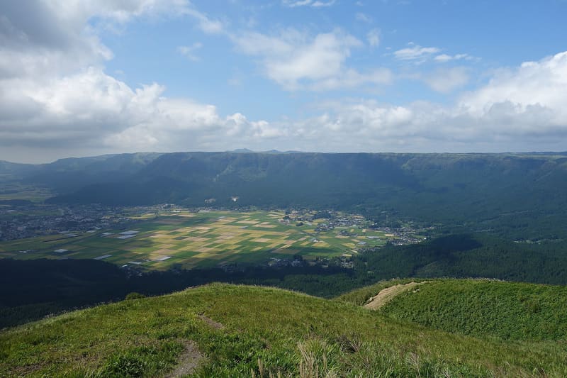
It is the highest point on the northern rim of the Aso caldera, 936 metres, and from here you can see the five inner peaks together (Nekodake, Takadake, Nakadake, Kishimadake, Eboshidake) and the Kuju range beyond. The current name was given in 1922 by the writer Tokutomi Sohō: before that, the place was called Tomigahana. From the car park, which has 500 free spaces, it is a walk of about ten minutes to the viewpoint, on a path designed for wheelchairs and pushchairs too.
Daikanbō is on the Milk Road, the scenic road that runs along the northern outer rim of the caldera, and it is the highest point on that rim. The view opens onto the whole caldera: the depression of a much larger volcano, now occupied by the five peaks of Aso and by the farmed plain on its floor. In autumn you may see the sea of clouds (雲海) filling the valley in the early morning. The name, given in 1922 by the writer Tokutomi Sohō, replaced the earlier one, Tomigahana. After the earthquake of 28 July 2026, the municipality of Aso announced that the roads at the foot of the mountain had no restrictions; check for updates before setting out all the same.
ℹ️ The viewpoint can be reached at any time; the car park gate closes at night. The kiosk is open 8:30–17:00 all year round, with no fixed closing day. Free admission. After the earthquake of 28 July 2026 it is advisable to check the road webcams for the area (阿蘇スカイライン) before setting out.
🚉 大観峰 (nuova fermata; alternativa: 大観峰入口) · 30 min walk
Holidays in Japan? Plan them with us.Over 2,000 real places, a day-by-day itinerary.FreeOpen the map →Sources: kumamoto-aso.com · city.aso.kumamoto.jp
Nearby
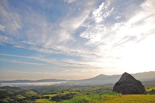 Oshitoishi Hill4.9 km
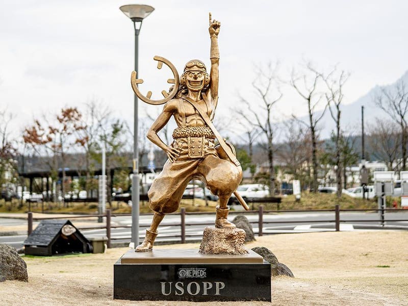 Usopp Statue — Aso Station6.6 km
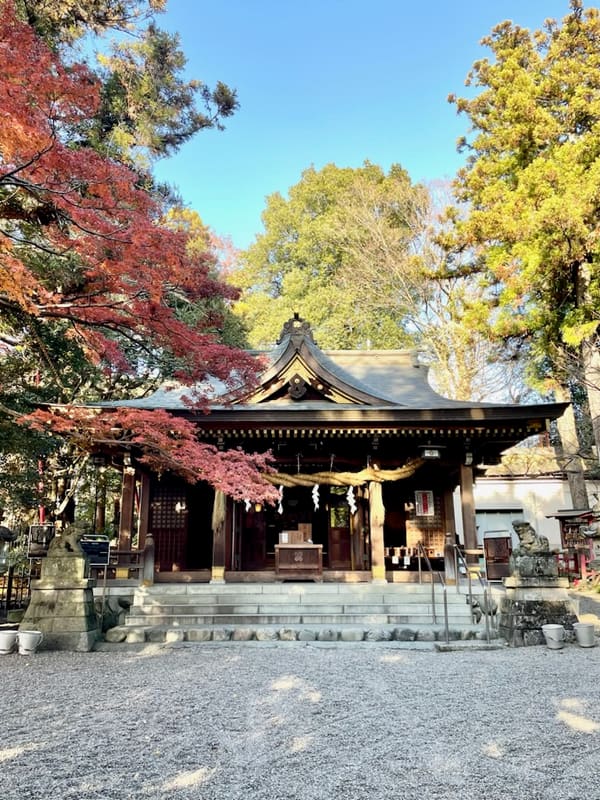 Aso Shrine7 kmphoto by Sg03j · CC0
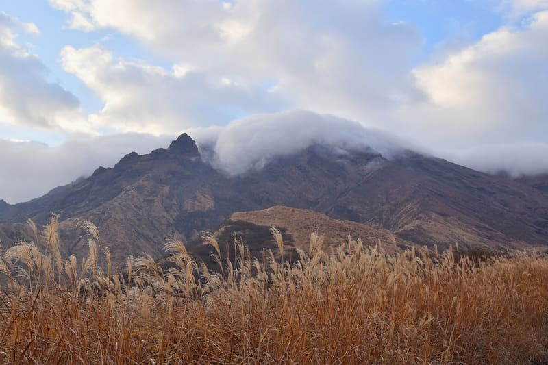 Mount Aso — Takadake11.2 kmphoto by Raita Futo from Tokyo, Japan · CC BY 2.0