
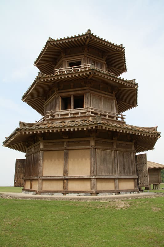
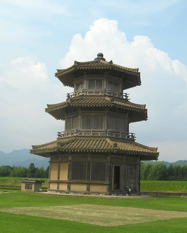
7th-century fortress with an octagonal wooden tower 15.8 m high; park and museum free.
The octagonal drum tower, 15.8 metres high with about 76 tonnes of tiles, is the symbol of the park and can be seen from far away. Nearby are the granary with walls of interlocked logs, the barracks and a plank-walled storehouse. The shortest route takes in everything in about 40 minutes and one kilometre; the museum, which is free, shows the weapons and belongings of the sakimori, the soldiers sent to guard the frontier, and from its second floor you can see the park.
It was built in the second half of the 7th century, about 1,350 years ago, by the Yamato court, that is, the government of ancient Japan, after the defeat at Hakusukinoe in 663 against Tang China and the Korean kingdom of Silla: it was one of the mountain fortresses created in the west of the country and served as a base for sending weapons and provisions to Dazaifu, the administrative centre of Kyūshū. It is mentioned in the chronicles: in 698 the court ordered the repair of the three fortresses of Ōno, Ki and Kikuchi. It stands on a hill at between 90 and 171 m, straddling Yamaga and Kikuchi, with a perimeter of 3.5 km and an area of about 55 hectares (twelve Tokyo Dome stadiums); the excavations, begun in 1967, have found the foundations of 72 buildings, including four octagonal bases, which according to the prefecture have no parallel among Japan's ancient fortresses. Since fiscal year 1994 four structures have been rebuilt, and the entrance museum dates from 2002. It has been a National Historic Site (史跡) since 27 February 2004; on 6 April 2017 it was added to the second list of the 100 Castles of Japan (続日本100名城, no. 189). It is not a samurai castle.
ℹ️ Free entry. Museum open 9:30–17:15, last entry 16:45; closed on Mondays (if a public holiday, the day after) and from 25 December to 4 January; the park can be walked all year round. Three official routes: 1 km in about 40 minutes (reconstructions only); 2 km in about 60 minutes; 3 km in about 90 minutes, plus 30 minutes for the museum. Free volunteer guides on booking, two weeks ahead, for at least an hour. The notice of 09/10/2026 recommends water, company and a phone when walking on the earthen embankments (土塁): wasps, wild boar, unmaintained stretches of woodland and a risk of heatstroke. Getting there: from Sakuramachi (Kumamoto) a bus of about 60 minutes to ‘菊池プラザ’, then 5 minutes by taxi; by car 20 minutes from the Ueki exit, 20 from the Museum of Decorated Tumuli, 40 from the airport. ⚠️ Closed from 29/07 to 03/08/2026 because of the earthquake, reopened on 04/08/2026 (site page dated 04/08/2026).
Holidays in Japan? Plan them with us.Over 2,000 real places, a day-by-day itinerary.FreeOpen the map →Sources: kofunkan.pref.kumamoto.jp · kofunkan.pref.kumamoto.jp · kofunkan.pref.kumamoto.jp · kofunkan.pref.kumamoto.jp · kofunkan.pref.kumamoto.jp · kofunkan.pref.kumamoto.jp · ja.wikipedia.org
Nearby
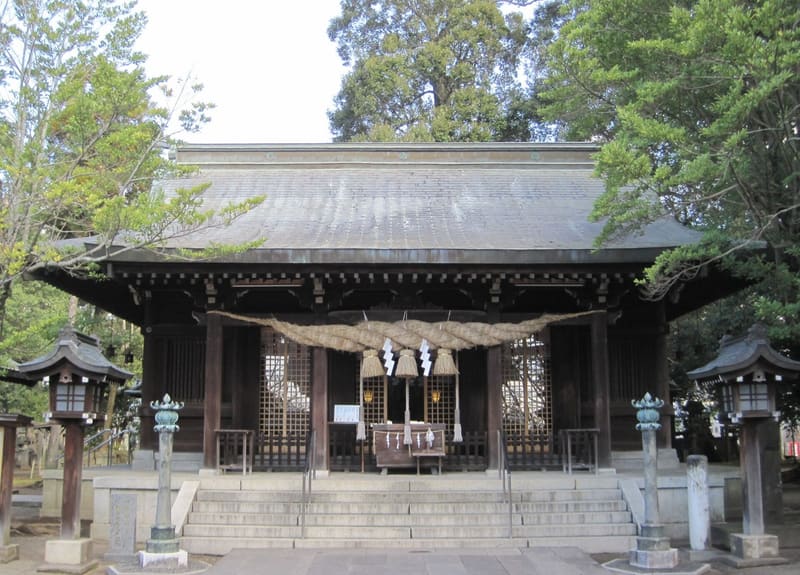 Ōmiya Shrine, Yamaga9 kmphoto by Siwamura · CC BY-SA 3.0
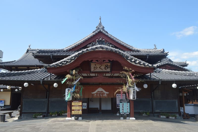 Sakura-yu Bath, Yamaga9.4 kmphoto by Asturio Cantabrio · CC BY-SA 4.0
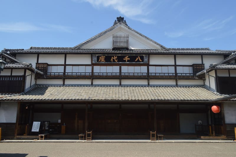 Yachiyoza Theatre9.5 kmphoto by Asturio Cantabrio · CC BY-SA 4.0
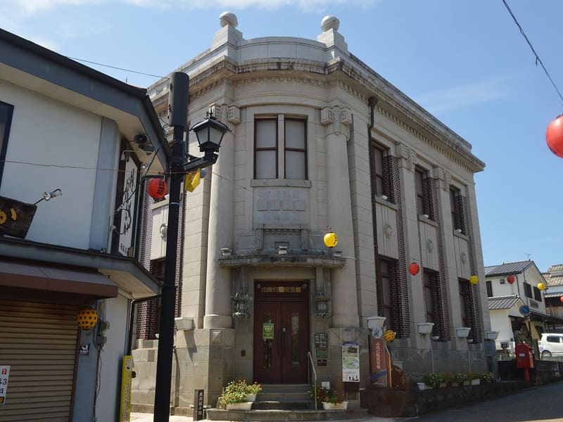 Yamaga Lantern Museum9.5 kmphoto by Asturio Cantabrio · CC BY-SA 4.0