
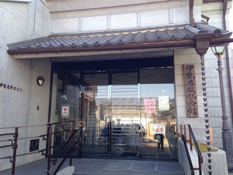
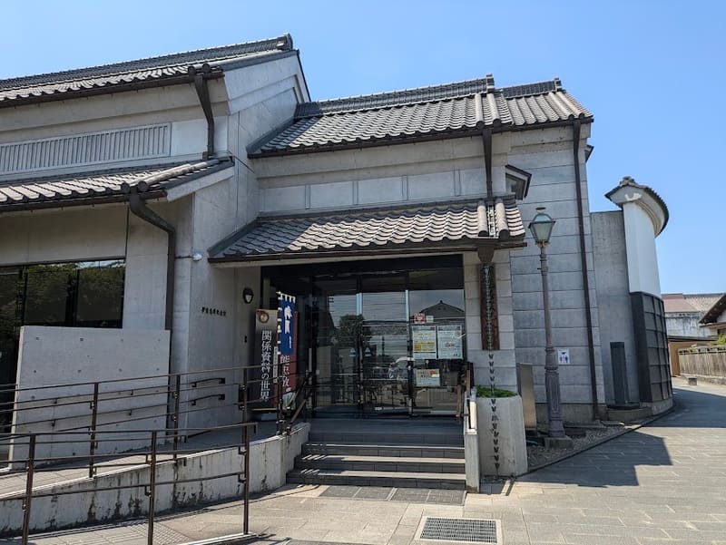
The maps Inō Tadataka drew by surveying Japan on foot are a National Treasure.
The building, in a modern style that recalls the earthen storehouses of the old town, stands on the opposite bank from the house where Inō Tadataka lived until 1795. It displays the surveying instruments and the original maps from his survey of the whole of Japan, begun at the age of 55 and completed by his pupils after his death.
Inō Tadataka (1745–1818), a Sawara merchant who became a cartographer, surveyed the coasts of Japan on foot between 1800 and 1816, producing the first map of the country on a geodetic basis. The materials from his survey (伊能忠敬関係資料) are designated a National Treasure.
ℹ️ Open 9:00–16:30, closed on Mondays (open if a public holiday) and over the year-end and New Year period. Admission 500 yen adults, 250 yen students (source: city.katori.lg.jp).
🚉 Sawara · 10 min walk
Holidays in Japan? Plan them with us.Over 2,000 real places, a day-by-day itinerary.FreeOpen the map →Sources: city.katori.lg.jp
Nearby
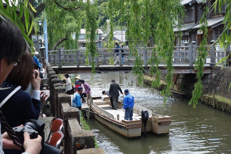 Sawara historic district200 mphoto by Toshihiro Matsui · CC BY-SA 3.0
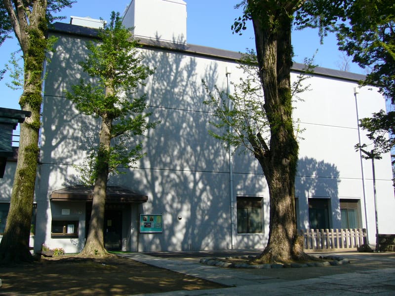 Sawara Float Museum (Suigō Sawara Dashi Kaikan)400 mphoto by katorisi · CC BY 2.5
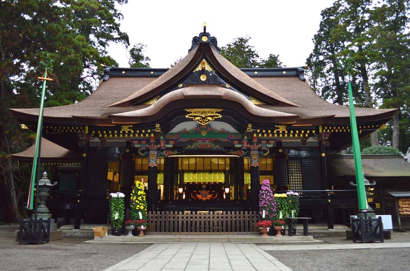 Katori Shrine (Katori Jingū)2.8 kmphoto by Saigen Jiro · CC0
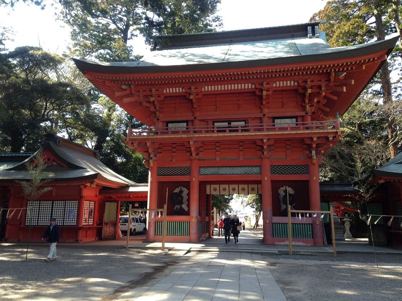 Kashima Shrine15 kmphoto by そらみみ · CC BY-SA 3.0