
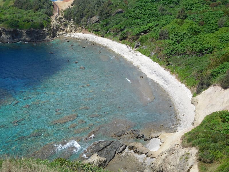
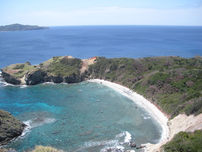
Just 86 metres high, the summit of Kofuji is the southernmost point in Japan from which to see the first sunrise of the year, on 1 January, over the Minamisaki coral reef.
The trail is one of the ‘100 Island Mountains’ (しま山100選) and, according to hahajima.com, it is also a spot for watching humpback whales in winter and spring. Those who reach the summit can request an ascent certificate from the tourist association for ¥300. At the foot, Minamisaki bay is a snorkelling spot for its wealth of table corals, but with explicit warnings about the currents.
小富士 (Kofuji, ‘little Fuji’) is the southernmost summit in Japan that can be reached on foot, on the island of Hahajima (母島), Ogasawara archipelago, Tokyo prefecture, about 86 metres high. The site rurubu.jp describes it as ‘日本一南にある郷土富士’ (the southernmost ‘local Fuji’ in Japan). The trail that leads there starts from the Minamisaki roundabout (南崎ロータリー), at the southern end of the island's road, and is known as the ‘Minamisaki-Kofuji’ route; it crosses a subtropical forest with plant and animal species endemic to the island. Minamisaki itself is a bay with extensive table coral formations, home to tropical fish, according to the website of the Hahajima tourist association.
ℹ️ Public access is as follows: from Hahajima port, 15 minutes by car to the start of the trail, then an hour on foot to the summit (source rurubu.jp, with 5 parking spaces available); the site tokyo-islands.com estimates the whole hike, including the way up, a stop at the summit and the way back, at 4–5 hours. At the Hahajima tourist association (TEL 04998-3-2300) you can register the climb in advance and get an ascent certificate for ¥300. For Minamisaki bay, the official site hahajima.com warns: ‘潮の流れが急なので、岩より沖には出ないこと’ (the current is strong: do not go past the rocks out to sea), and advises reaching it by swimming from the sea.
Holidays in Japan? Plan them with us.Over 2,000 real places, a day-by-day itinerary.FreeOpen the map →Sources: rurubu.jp · tokyo-islands.com · hahajima.com