
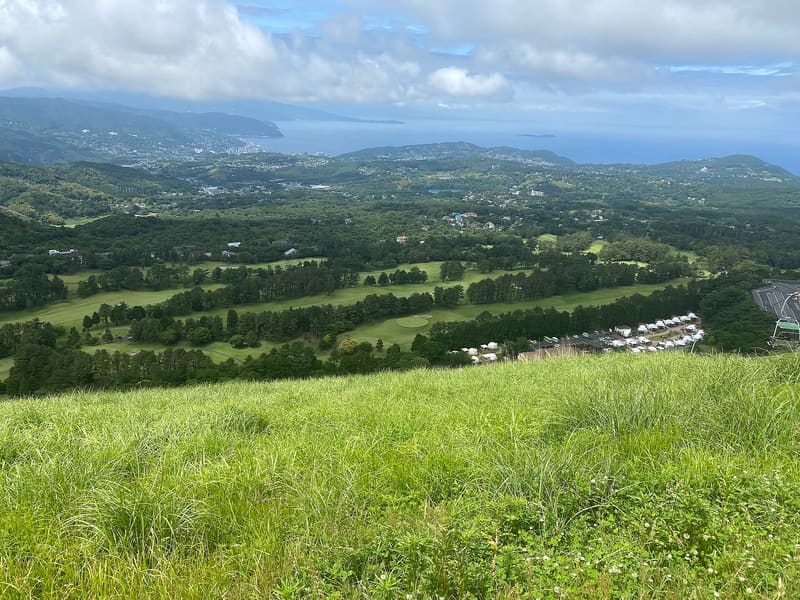
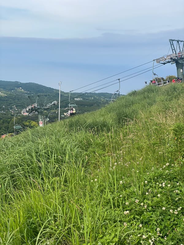
A 4,000-year-old scoria cone: 6 minutes by chairlift, then you walk round the crater.
An almost perfect volcanic cone, with an elevation of 580 metres, that dominates the Izu Peninsula on its own. The chairlift climbs in six minutes from the north side to the rim of the crater (funnel-shaped, 250 metres across and 40 deep), where a path lets you walk all the way round it (お鉢周り, ‘the bowl circuit’): to the south the Izu Islands and Ōshima, to the north Fuji, to the west Hakone and Amagi. You used to be able to climb up on foot as well, but today it is forbidden.
Formed about 4,000 years ago by a Strombolian eruption, Ōmuro-yama is the largest monogenetic volcano on the Izu Peninsula. It keeps its original scoria-cone shape almost intact, has been protected as a national natural monument since 5 August 2010 and lies within Fuji-Hakone-Izu National Park. A lava flow from neighbouring Iwamuro-yama formed the lava terrain that, further downhill, reaches the Jōgasaki Coast.
ℹ️ The chairlift leaves from the base station (伊東市池672-2, tel. 0557-51-0258) and takes about six minutes. Climbing on foot, once permitted, is now forbidden. Hours and fare are not confirmed: check them with the operator before visiting.
🚉 Summit · in front of the station
Holidays in Japan? Plan them with us.Over 2,000 real places, a day-by-day itinerary.FreeOpen the map →Sources: city.ito.shizuoka.jp · ja.wikipedia.org
Nearby
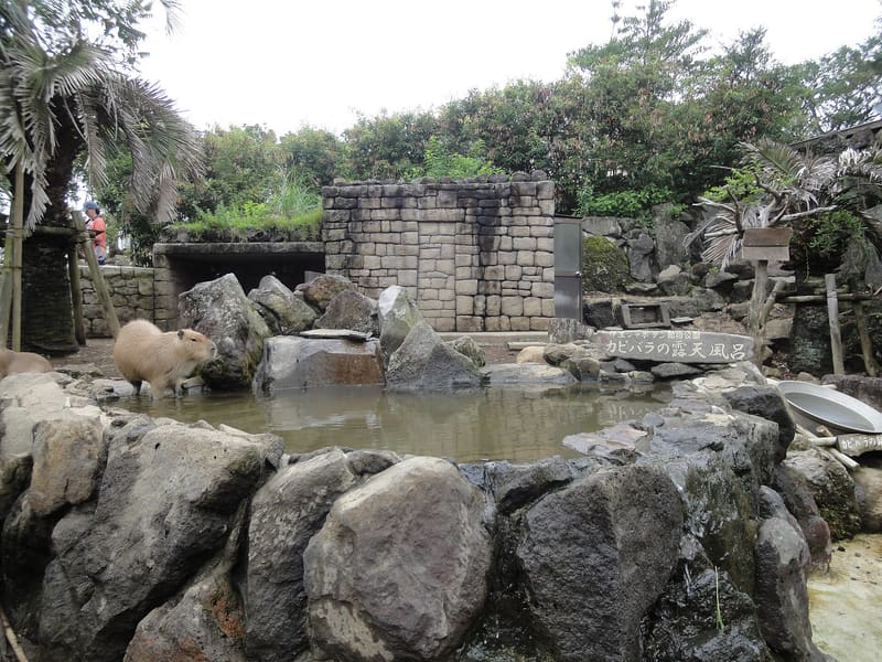 Izu Shaboten Zoo and Cactus Park500 mphoto by inunami · CC BY 2.0
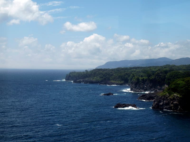 Jōgasaki Coast3.6 kmphoto by Tomo · CC BY 2.0
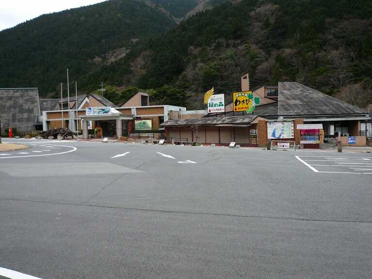 Amagi Wasabi Fields16.6 kmphoto by Zerozeroman00 · CC BY-SA 3.0
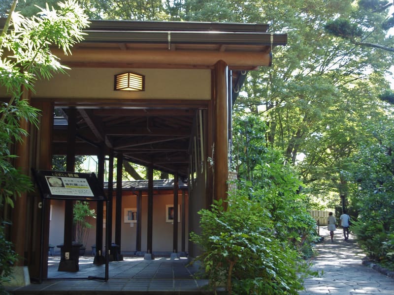 Shuzenji Onsen, temple and bamboo path17.5 kmphoto by Batholith · Public domain