
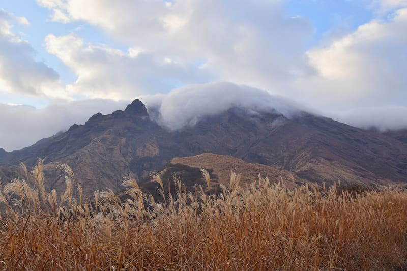
1,592 m, the roof of the Five Peaks: you can climb it under level 2, reopened on 1 September.
Takadake is the highest of Aso's five peaks (1,592 m) and is one of Japan's hundred famous mountains (日本百名山). It is the summit you reach on foot, distinct from the crater of neighbouring Nakadake, the one with car access and the ropeway, already rejected in this same campaign because its access status had not been verified. Here the climb is never a given: it depends on the volcanic alert level, which changed several times in summer 2026.
Mount Aso is a massif of five peaks (阿蘇五岳) inside the great caldera; Takadake is the highest, 1,592 metres. Residents remember the height with the wordplay 「ひ・ご・く・に」, Higo-kuni, the old name of the province. The main trail starts from Senzuikyō, at 851 metres, which has an information centre; when it is open, the road to the crater of neighbouring Nakadake brings you to within a few minutes of the summit. After the earthquake of 28 July 2026 no closures due to collapses were reported, but on 14 August the volcanic alert rose to level 3, banning the climb. The level went back to 2 on 1 September, and from 2 September access to the summit plaza reopened. At level 2 Takadake can be reached only by the detour routes 皿山迂回ルート and すずめ岩迂回ルート, outside the one-kilometre radius around the crater.
ℹ️ ⚠️ I do not write ‘open’: access arrangements change from one day to the next with the volcanic alert level and with the wind direction (gas). Check BEFORE setting out on: 気象庁 (JMA) for the alert level, https://www.aso-volcano.jp/ for the opening hours of the road gate to the crater (seasonal: 8:30–17:30 in spring/summer, shorter in autumn and winter, and they can change without notice because of gas or weather), and the municipality of Aso's page on the new detour routes, to find out whether they are open. Above level 3 the climb is banned entirely. The Senzuikyō car park has about a hundred spaces; access to the Kusasenri/山上広場 area is usually included in the same ticket/toll as the crater car park.
Holidays in Japan? Plan them with us.Over 2,000 real places, a day-by-day itinerary.FreeOpen the map →Sources: city.aso.kumamoto.jp · asocity-kanko.jp · city.aso.kumamoto.jp · jma.go.jp · aso-volcano.jp · mapion.co.jp
Nearby
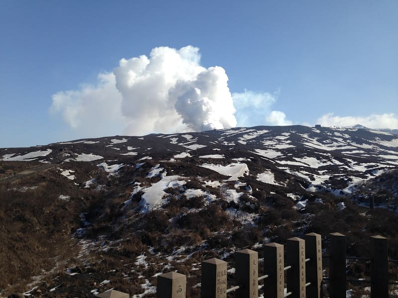 Mount Aso — Nakadake Crater3.4 kmphoto by そらみみ · CC BY-SA 3.0
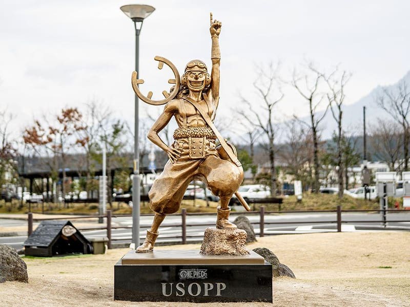 Usopp Statue — Aso Station4.7 km
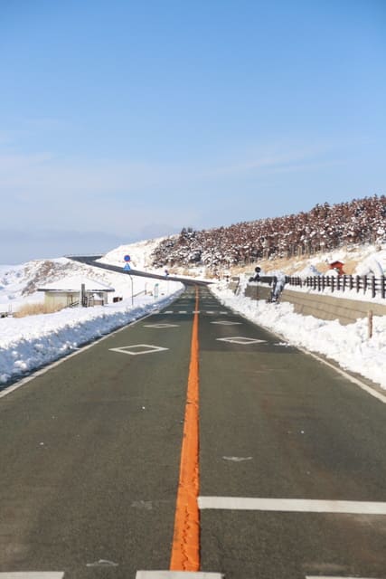 Kusasenri-ga-hama4.9 kmphoto by Young Juan · CC BY 3.0
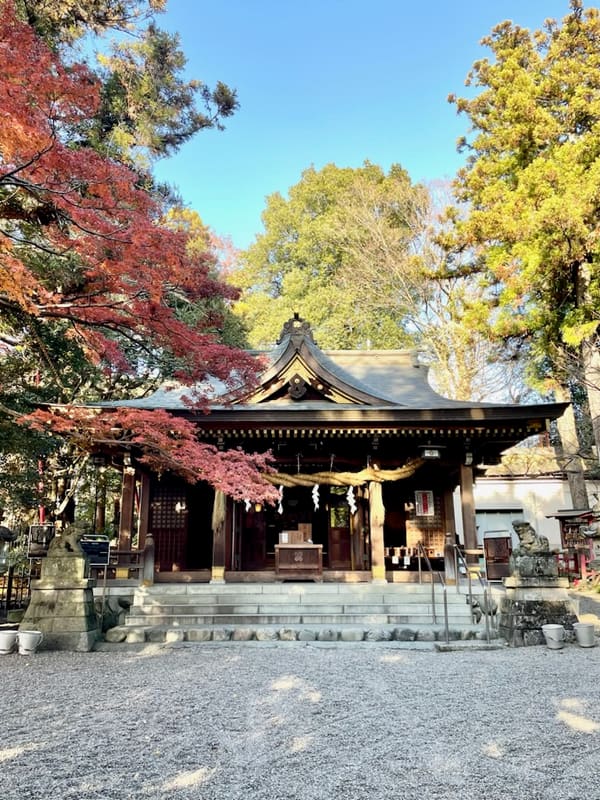 Aso Shrine5.5 kmphoto by Sg03j · CC0