
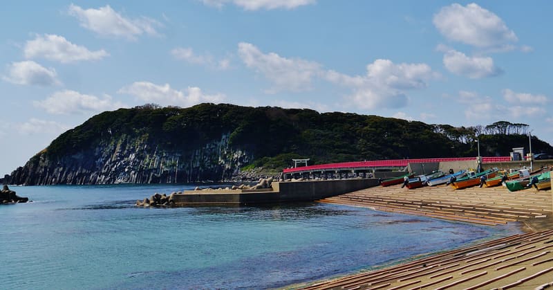
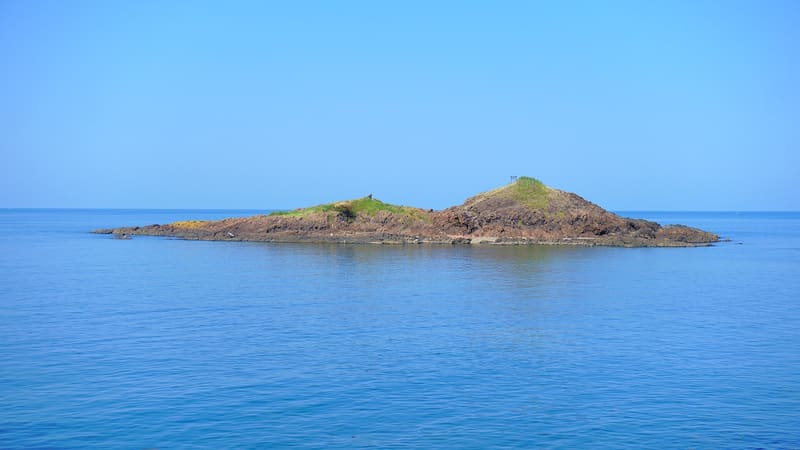
A 224 m bridge leads to the island where the magnetism of the rocks sends the compass haywire.
The largest island on the Echizen coast, uninhabited, is reached from Anjima port by a 224-metre footbridge. The rhyolite rock it is made of, with prismatic columns similar to those of Tojinbo a few minutes away, retains in places a residual magnetism strong enough to send a compass haywire. On the highest side stands Ōminato Shrine, which according to tradition was visited by Minamoto no Yoshitsune, with its present buildings dating from 1621.
An uninhabited island of 0.102 km² in the Sea of Japan, in the municipality of Sakai, made of the same volcanic rock as the nearby cliffs of Tojinbo.
ℹ️ Free entry via the footbridge from Anjima port; a perimeter path of about 2 km around the island, highest point at 27 metres. No known closing hours.
🚉 雄島 · 6 min walk
Holidays in Japan? Plan them with us.Over 2,000 real places, a day-by-day itinerary.FreeOpen the map →Sources: ja.wikipedia.org
Nearby
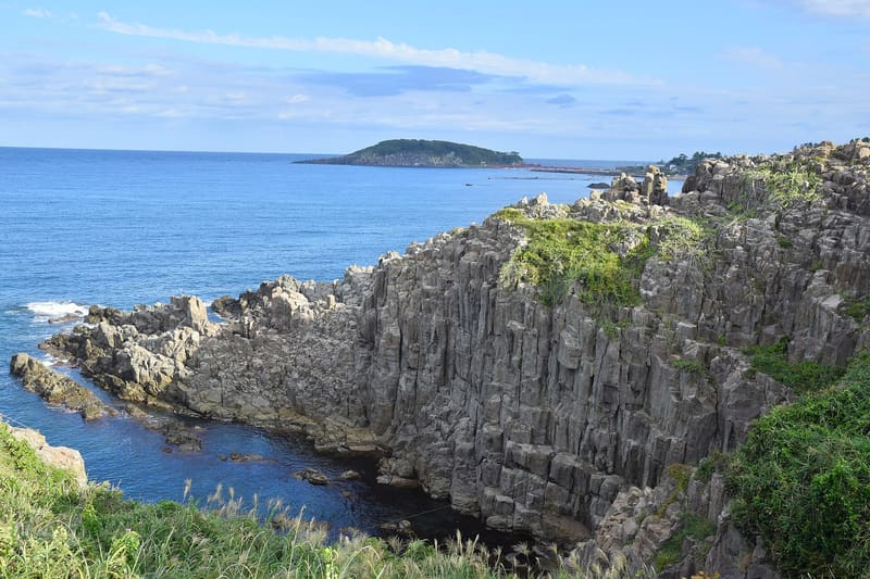 Tojinbo1.7 kmphoto by 雷太 · CC BY 2.0
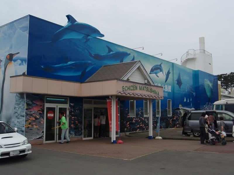 Echizen Matsushima Aquarium2.5 kmphoto by Tomomori · CC BY-SA 3.0
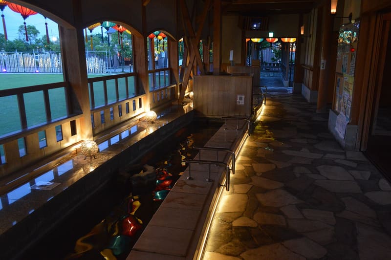 Awara Onsen — Ashiyu10.8 kmphoto by Asturio Cantabrio · CC BY-SA 4.0
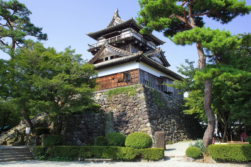 Maruoka Castle17.6 kmphoto by Tomio344456 · CC BY-SA 4.0