
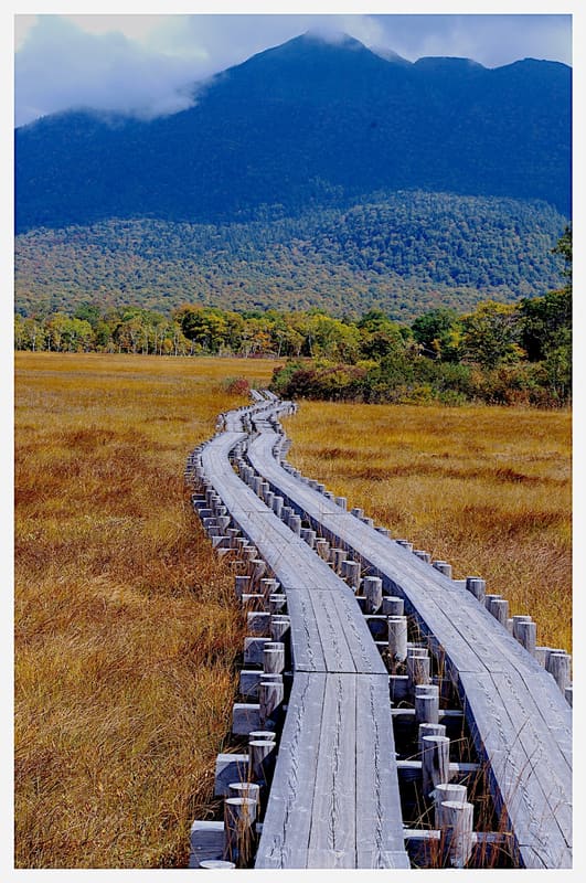
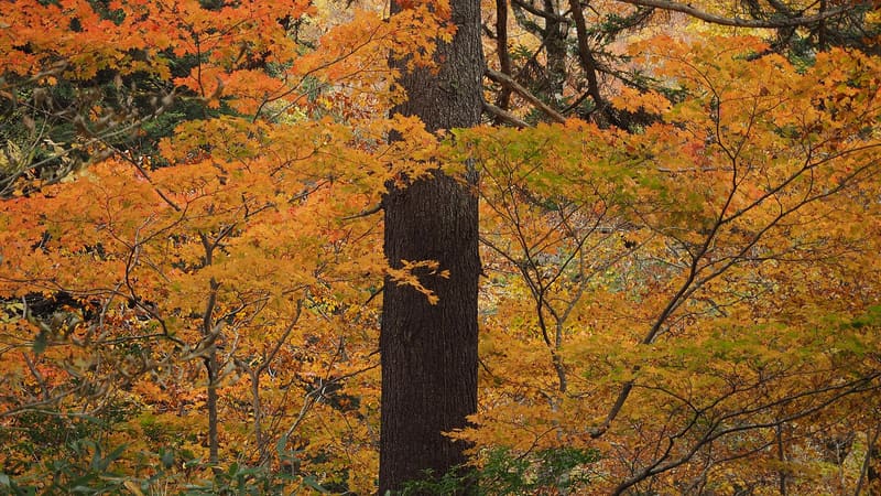
A raised bog across four prefectures: Hiuchigatake, 2,356 m, is the roof of Tōhoku.
The plateau spreads across four prefectures (Fukushima, Gunma, Niigata, Tochigi) around the great Ozegahara bog, 6 km by 2, and Ozenuma pond. From the village of Hinoemata, the only access from the Fukushima side, trails climb to Mount Hiuchigatake (2,356 m, the highest peak in northern Tōhoku) and Mount Aizu-Koma: in late spring the plateau is covered in mizubasho, the marsh calla, and the wetland has been a registered Ramsar site since 8 November 2005.
A national park established in 2007 around the marshy Oze plateau, shared by four prefectures; the southern side, in Fukushima, is reached from the village of Hinoemata.
ℹ️ Trails open roughly from June to October (snow the rest of the year); mountain lodges and huts along the routes. Access from Hinoemata through the local tourist association (Oze Hinoemata Onsen Tourism, tel. 0241-75-2432).
Holidays in Japan? Plan them with us.Over 2,000 real places, a day-by-day itinerary.FreeOpen the map →Sources: gokujo-aizu.com · pref.gunma.jp · oze-fnd.or.jp
Nearby
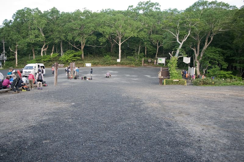 Oze — Hatomachi Pass7.3 kmphoto by Σ64 · CC BY 3.0