
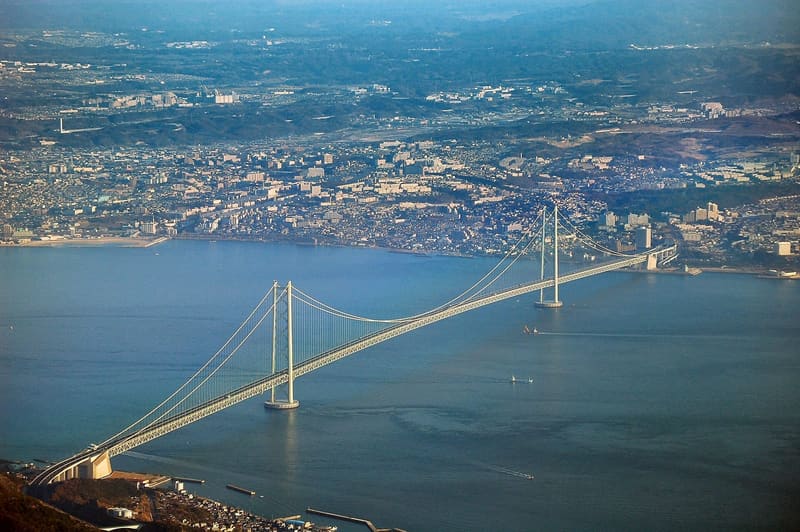
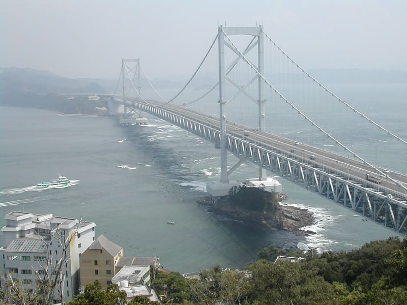
The 1995 earthquake moved the towers a metre further apart: the span is 1,991 m, not 1,990.
You come out of Maiko Station and the bridge is already overhead: 3,911 metres in all, towers 282.8 metres above the sea, a central span of 1,991. It was 1,990 in the design: the 1995 Kobe earthquake shifted the towers by a metre while it was being built. You can walk inside the deck: the Maiko walkway runs for 317 metres, 47 metres above the water.
The bridge over the Akashi Strait, between Kobe and Awaji Island.
ℹ️ The film's shot is easiest to recognise from Maiko Park, at the Kobe end of the bridge.
🚉 Maiko · 3 min walk
Holidays in Japan? Plan them with us.Over 2,000 real places, a day-by-day itinerary.FreeOpen the map →Suzume
The suspension bridge that Daijin runs up, and the point where Suzume reaches Kobe by hitchhiking.
Sources: seichimap.jp · kobehigashinada.goguynet.jp · ecotopia.earth · jb-honshi.co.jp · hyogo-tourism.jp · en.wikipedia.org · en.wikipedia.org
Nearby
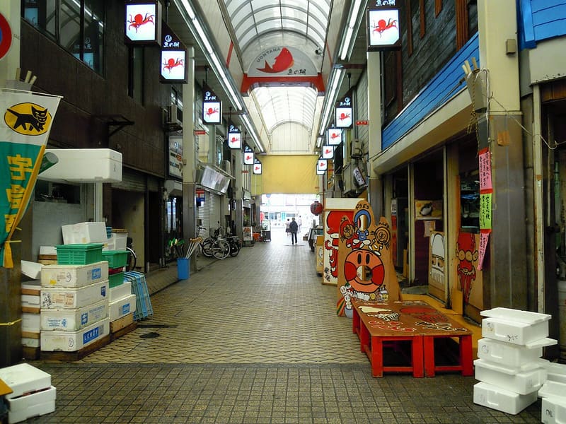 Uonotana — Akashi4.3 kmphoto by DVMG · CC BY 3.0
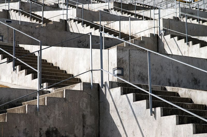 Awaji Yumebutai (Hyakudan-en)8.3 kmphoto by 663highland · CC BY 2.5
 McDonald's Route 2 Suma9.3 km
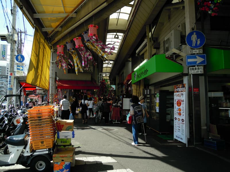 Higashiyama Shotengai — Kobe13 kmphoto by DVMG · CC BY 3.0