
Series › Suzume
In the footsteps of Suzume
すずめの戸締まり
30 real places in 9 prefectures: Hyogo, Ehime, Tokyo, Iwate, Oita, Kumamoto, Miyagi, Miyazaki, Okayama.
See these places on the mapSee these places on the map
Save the places you like with ★: once you sign in, you'll find them on your computer when you plan.
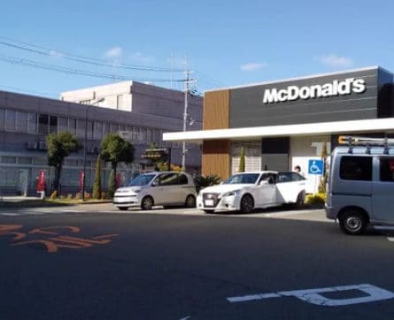
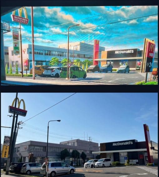
The drive-through where the characters pull in to eat during the Kobe stop.
Hyogo6 places
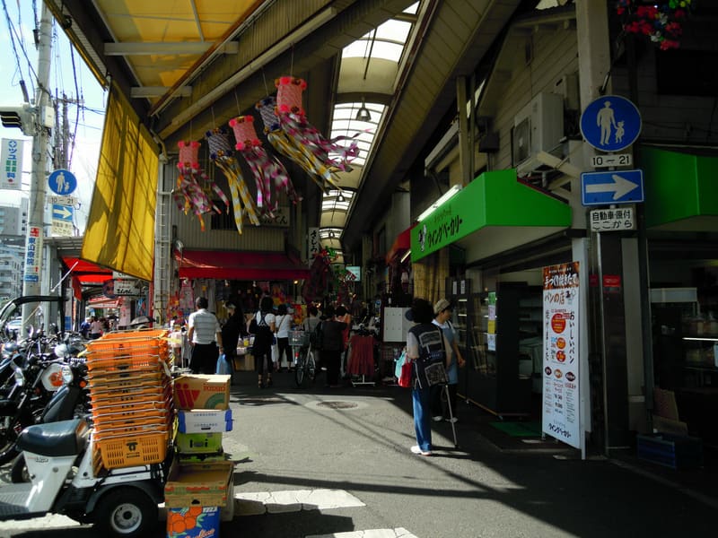 photo by DVMG · CC BY 3.0
Higashiyama Shotengai (東山商店街) — Kobe
🚉 Minatogawa · 5 min walk
It is one of the two models for the neighbourhood where Rumi's snack bar stands, and sources describe it as ‘practically unchanged’ from the film. The other is the Ninomiya shotengai, 3 km to the east and on the map…
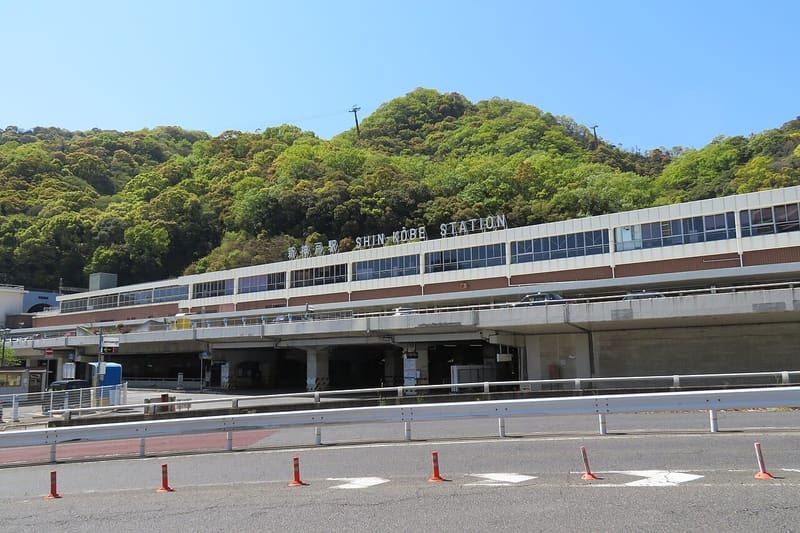 photo by KishujiRapid · CC BY-SA 4.0
Shin-Kobe Station (新神戸駅)
🚉 Shin-Kobe · 2 min walk
The shinkansen station from which Suzume sets off again after the Kobe stop, bound for Tokyo.
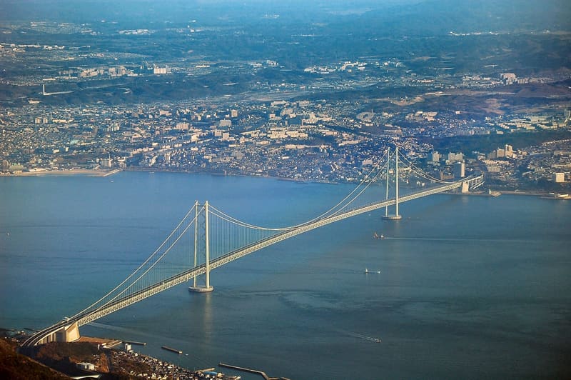 photo by Tysto · Public domain
Akashi Kaikyō Bridge (明石海峡大橋) — Maiko
🚉 Maiko · 3 min walk
The suspension bridge that Daijin runs up, and the point where Suzume reaches Kobe by hitchhiking.
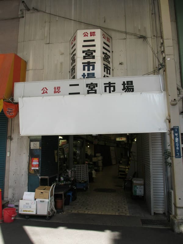 photo by DVMG · CC BY 3.0
Ninomiya Shotengai and Market (二宮商店街・二宮市場) — Kobe
🚉 Sannomiya · 5 min walk
The second half of Rumi's neighbourhood: the arcade lends shop windows and alleys to the fictional shotengai ‘Kunomiya-suji’, and Daijin the cat escapes from the covered market next door. Rumi's snack bar comes from…
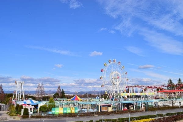
Kobe Otogi no Kuni (神戸おとぎの国)
🚉 フルーツパーク · 9 min walk
It is the model for ‘Kobe Yume no Kuni’: the Ferris wheel stands in relation to the roller coaster as it does in the film, the gondolas have the same shape (the orange one Suzume rides really is there) and the…
Kobe Seiai Church (神戸聖愛教会)
🚉 Shin-Kobe · 2 min walk
The church glimpsed for an instant through the car window as Rumi takes Suzume to Shin-Kobe Station to say goodbye.
Ehime5 places
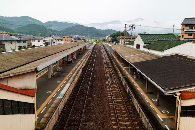 photo by 東京特許許可局 · CC BY-SA 4.0
Iyo-Ōzu Station (伊予大洲駅)
🚉 Iyo-Ōzu · 7 min walk
This is where Suzume first spots Daijin on Shikoku soil. The station's architecture reappears, and even the layout of the electricity poles.
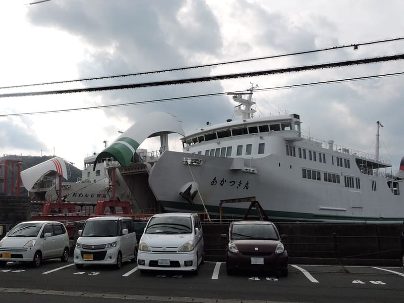 photo by Yawatahamangcc2016 · CC BY-SA 4.0
Yawatahama Port (八幡浜港)
🚉 Yawatahama · 22 min walk
The port where Suzume gets off the ferry from Saganoseki, her arrival in Shikoku: in the film you can recognise the old terminal. The journey resumes from Yawatahama Station, 1.6 km to the east and also on the map.
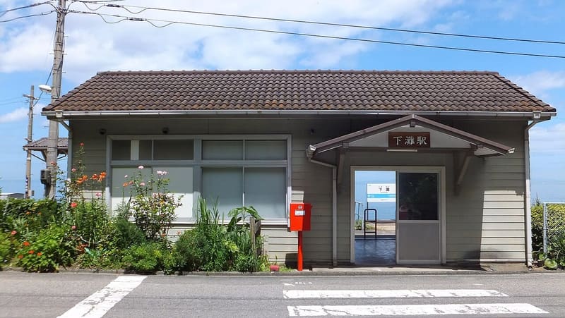 photo by Sunport1216 · CC BY-SA 4.0
Shimonada Station (下灘駅)
🚉 Shimonada · in front of the station
It appears on Suzume's journey across Shikoku.
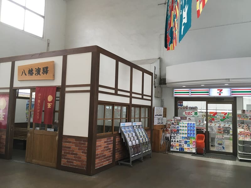 photo by Higa4 · CC0
Yawatahama Station (八幡浜駅)
🚉 Yawatahama · in front of the station
The station where Suzume catches the train after landing: it is the link between the port of Yawatahama, 1.6 km to the west and also on the map, and the journey along the Yosan Line towards Ōzu.
Ōtani Pond (大谷池)
🚉 Iyo-Komatsu · 34 min walk
It is the setting for the meeting between Suzume and Chika, the girl who puts her up in Shikoku.
Tokyo5 places
The place today 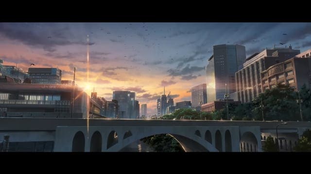
📺 the scene photo by Photo by Syohei Arai (talk) · CC BY-SA 3.0Suzume — Makoto Shinkai · anime CoMix Wave Films (2022)Ochanomizu Station
🚉 Ochanomizu · 1 min walk
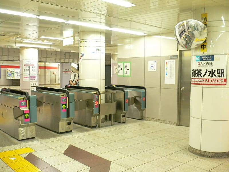
It is the station right by Sōta's home and the centre of gravity of the whole Tokyo part of the film: Suzume comes out of here, gets into the car with Serizawa, crosses the Kanda. The Hijiribashi Bridge (聖橋) stands 90 m…
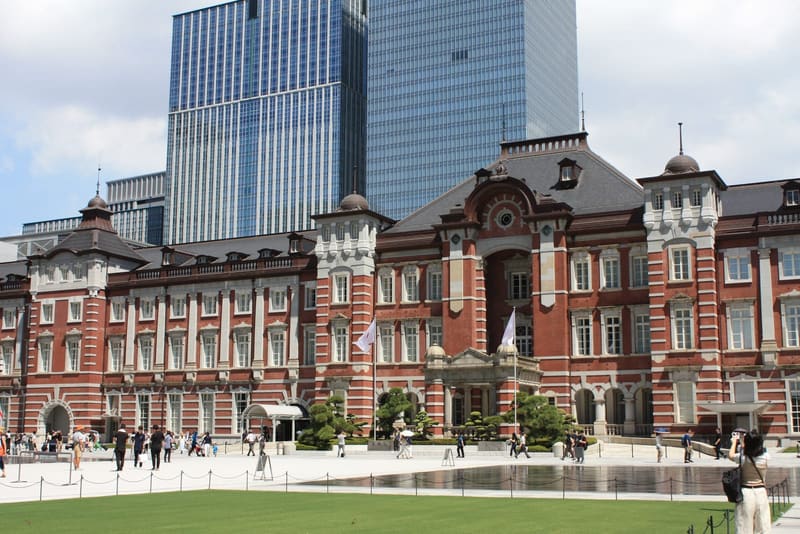
The place today 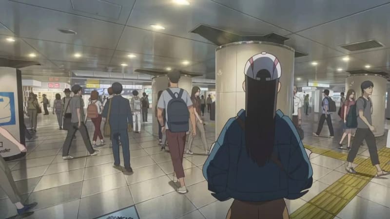
📺 the scene photo by Alexandr3126 · CC BY-SA 4.0Suzume — Makoto Shinkai · anime CoMix Wave Films (2022)Tokyo Station (東京駅)
🚉 Tōkyō · 3 min walk
The shinkansen arriving in Tokyo, with a shot of the historic Marunouchi façade and the skyscrapers behind it.
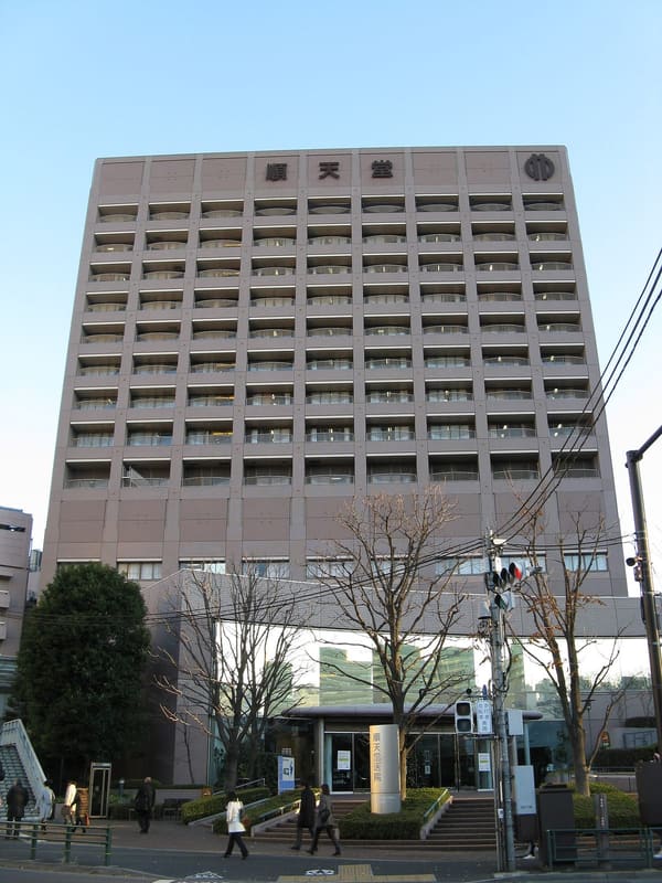 photo by KENPEI · CC BY-SA 3.0
Juntendō University Hospital (順天堂医院)
🚉 Ochanomizu · 7 min walk
The hospital where Suzume and Sōta go to visit Hitsujirō, his grandfather, about an hour and a quarter into the film.
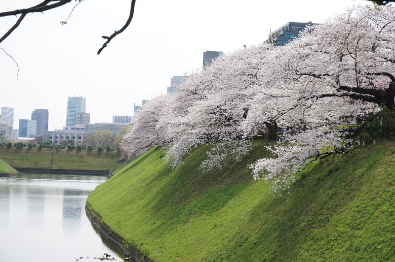 photo by yisris · CC BY 2.0
Chidorigafuchi (千鳥ヶ淵)
🚉 Hanzomon · 7 min walk
This is where the main characters re-emerge from underground after the worm sequence, with the Kōjimachi police box recognisable at the edge of the road.
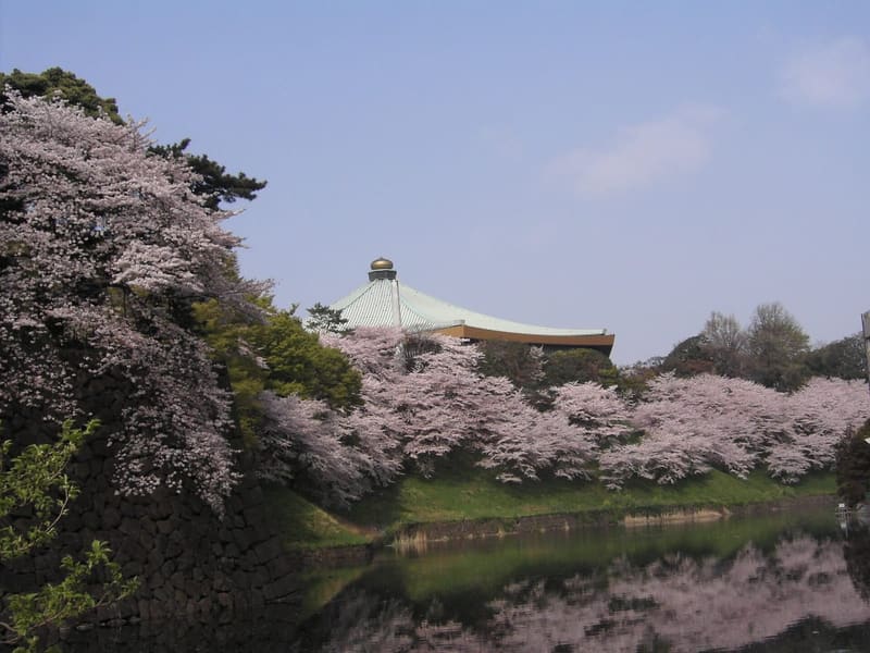 photo by chatani · CC BY 3.0
Shimizu Gate and Ushigafuchi Moat (清水門・牛ヶ淵)
🚉 Kudanshita · 6 min walk
This is the view with which the film opens the worm's Tokyo sequence, with the golden onion of the Budōkan rising above the trees.
Iwate4 places
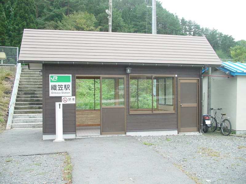 photo by ( Songsknow ) · CC BY-SA 3.0
Orikasa Station (Sanriku Railway)
🚉 Orikasa · in front of the station
The unstaffed Sanriku Railway station is where Suzume and Sōta say their last goodbye, in the finale. Close by, on Route 45, the Orikasa River floodgate (織笠川水門) appears (cut from some streaming editions), along with the…
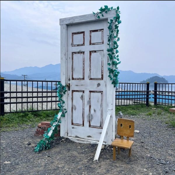
Yamada Bay Viewpoint (山田湾展望広場)
🚉 Orikasa · 11 min walk
It is not a shot from the film: the Yamada tourism board has permanently installed a replica of the door here, which really opens and closes.
Akamae Relay Tower (赤前の電波塔) — Miyako
🚉 Tsugaruishi · 15 min walk
The hill above Miyako Bay is the landscape of Suzume's home town, the one in her memories and in the finale. Pilgrims call it ‘あの扉’.
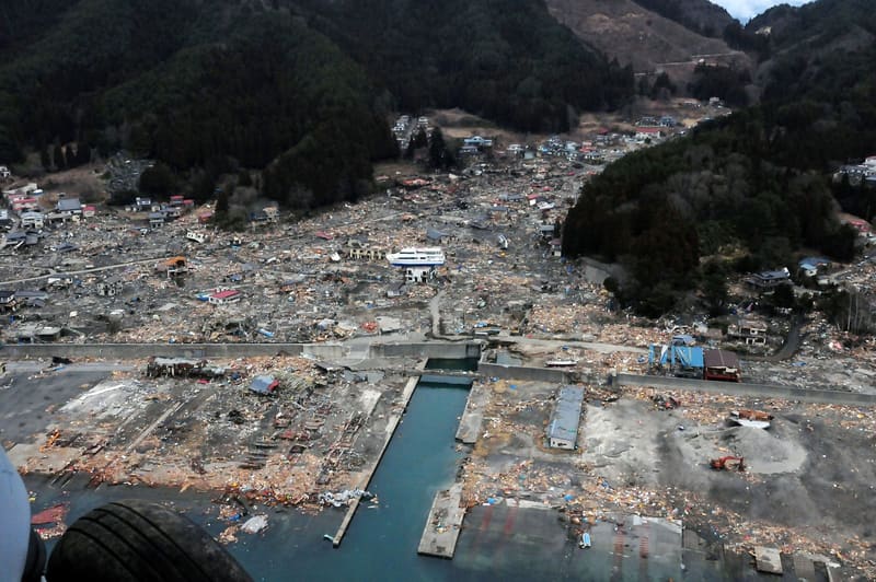
Former Minshuku Akabu – wreck of the Hamayuri
🚉 赤浜一丁目 · 3 min walk
In the sequence in the 常世, the non-world beyond the doors, the image of the ship stranded on the roof of the inn appears twice: when four-year-old Suzume wanders there after the disaster, and again when…
Oita4 places
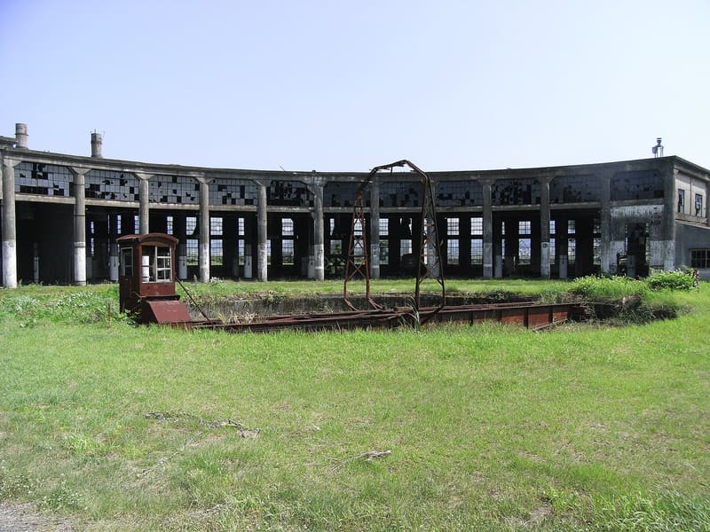 photo by misijp · CC BY-SA 2.0
Former Bungo-Mori Locomotive Shed (旧豊後森機関庫)
🚉 Bungo-Mori · 5 min walk
The disused roundhouse is the model for the place where Suzume opens the first door, the one that starts it all.
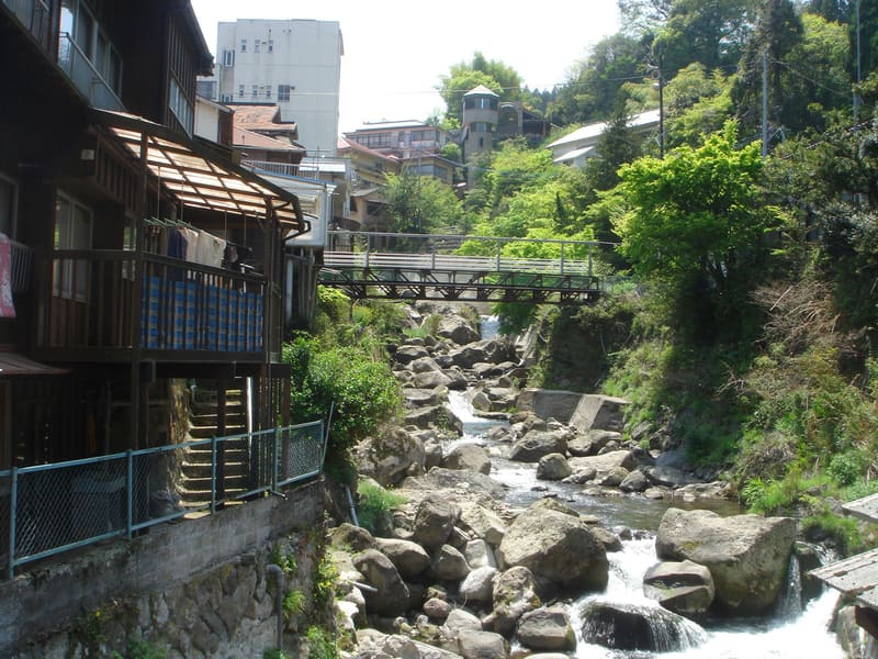 photo by OitaKiseichu · CC BY 3.0
Yunohira Onsen (湯平温泉)
🚉 見晴し入口 (Miharashi-iriguchi) · 9 min walk
It is the main model for the abandoned resort ‘Monami’: the drawings show, with the characters only slightly altered, the real signs of つるや and 大吉. Monami, however, is not just one place: alongside Yunohira, the sources…
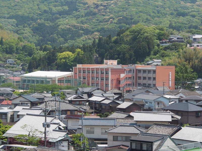 photo by 大分帰省中 · CC BY-SA 4.0
Usuki Prefectural High School (大分県立臼杵高等学校)
🚉 Usuki · 5 min walk
It is Suzume's school, drawn, according to those who studied there, exactly as it is today. On the way to school, a few dozen metres away, the Gion level crossing (祇園踏切) is also recognisable.
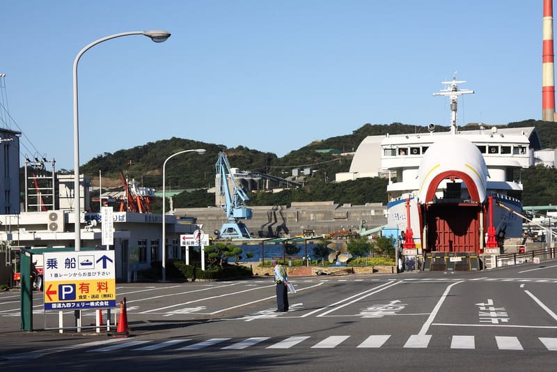 photo by Gohachiyasu1214 · CC BY-SA 4.0
Saganoseki Port (佐賀関港)
🚉 Saganoseki · 8 min walk
The port from which Suzume and Sōta set sail to cross the Hōyo Strait.
Kumamoto2 places
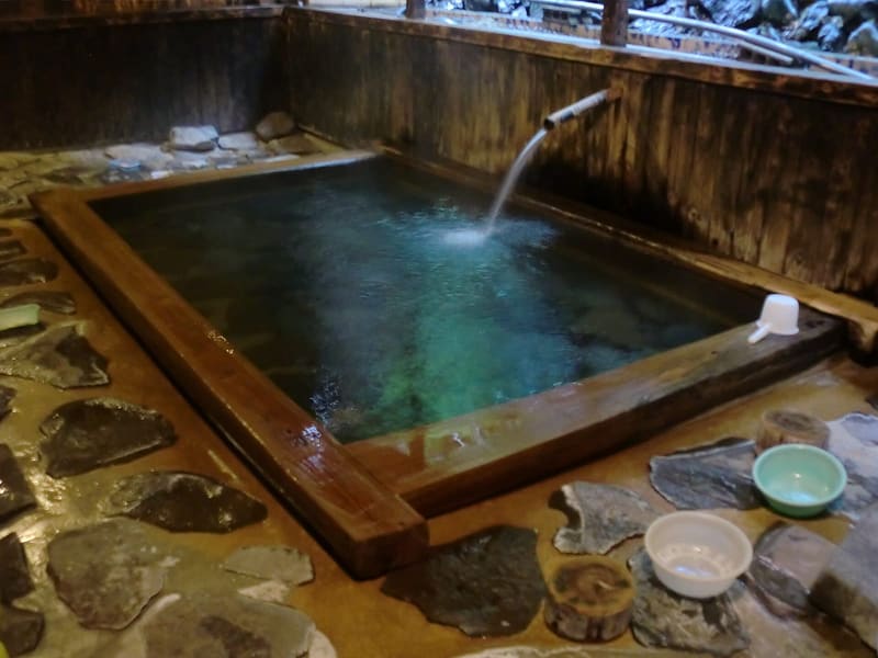 photo by hyolee2 · CC BY-SA 3.0
Yunotsuru Onsen (湯の鶴温泉)
🚉 湯の鶴 (Yunotsuru) · 51 min walk
One of the models for the ruined resort ‘Monami’ where Suzume gets lost chasing Sōta: Japanese sources recognise here the layout of the trailer's scenes, down to the diamond-pattern parapets. The Monami is a blend of…
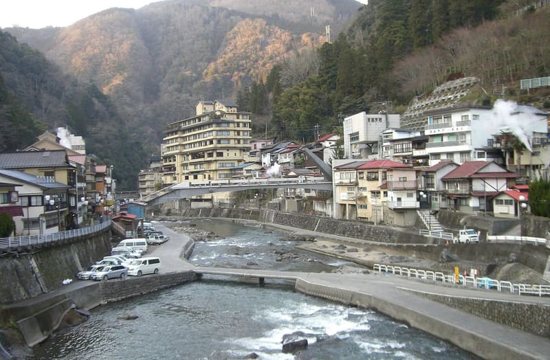 photo by Miya.m · CC BY-SA 3.0
Tsuetate Onsen (杖立温泉)
🚉 杖立 (Tsuetate) · 82 min walk
The third of the hot springs named as a model for the ‘Monami’. What makes it recognisable is not a single shot but the coexistence of ruined ryokan and ryokan still in business, which really is found here.
Miyagi1 place
The place today 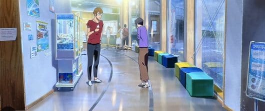
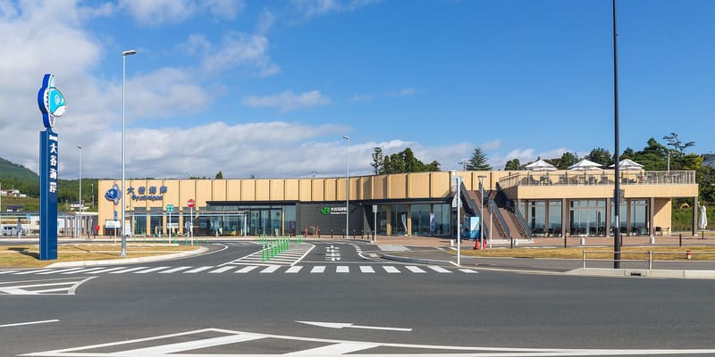
📺 the scene photo by Yasu ( talk ) · CC BY-SA 3.0Suzume — Makoto Shinkai · anime CoMix Wave Films (2022)Michinoeki Oya-Kaigan Roadside Station (道の駅大谷海岸)
🚉 Ōyakaigan · 2 min walk
It is the rest stop where Suzume and Serizawa eat seafood ramen and a peanut-cream sandwich (a Kesennuma speciality) on the road to Tōhoku.
Miyazaki1 place
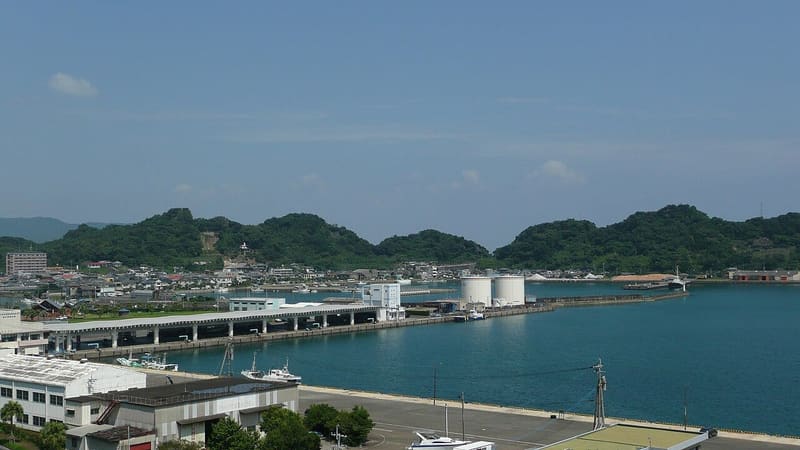 photo by ja:User:Sanjo · Public domain
Aburatsu Port
🚉 Bus Station · 17 min walk
The port seen in the opening sequence, when Suzume rides down on her bicycle and meets Sōta on the road to school. The sources describe it in two different ways: the pilgrimage map calls it ‘model for the bridge on the…
Okayama1 place
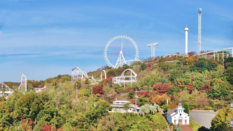 photo by Yoshio Kohara · CC BY 3.0
Washuzan Highland (鷲羽山ハイランド)
🚉 Kojimaintachienji · 20 min walk
The slope that Suzume runs up in the Kobe sequence comes from this park: pilgrims call it ‘すずめの道’, and it is 370 m south-west of the entrance. The Ferris wheel and the roller coaster of the drawn amusement park come…