
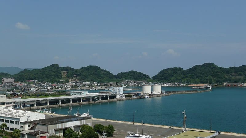
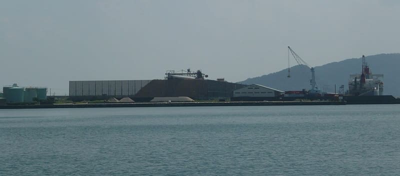
The Horikawa Canal, dug in 1686, brought Obi cedar here to be shipped.
For two and a half centuries the port served the Obi domain as a timber port: the Horikawa Canal, dug to link it to the Hirowatari River, was completed in 1686 to bring Obi cedar (飫肥杉) down to the sea, a wood prized in shipbuilding for its lightness and its resistance to bending. The port remained an important timber port well into the twentieth century, and became a port of national importance in 1952.
A port in Nichinan, on the south coast of Miyazaki. A trading port as early as the time of the embassies to China, contested between the Itō and the Shimazu in the Sengoku period, the port where Obi cedar was loaded in the Edo period, and today a port of call for large cruise ships. The Horikawa Canal, 984 m long by about thirty wide, was dug at the beginning of the Edo period precisely to bring the timber down from the Hirowatari River to here.
ℹ️ In March 2023 the Nichinan architects' association and the art club of the prefectural high school built the door and the chair from the film: they stand there as a draw for pilgrims. The view from above that looks most like the scene is from Tsunomine (88 m) or from the Bentendō behind Shioman-ji, about ten minutes on foot – but this is the hypothesis of someone who went up there to look, not a confirmation. From the port to Aburatsu Station it is twenty minutes on foot.
🚉 Bus Station · 17 min walk
Holidays in Japan? Plan them with us.Over 2,000 real places, a day-by-day itinerary.FreeOpen the map →Suzume
The port seen in the opening sequence, when Suzume rides down on her bicycle and meets Sōta on the road to school. The sources describe it in two different ways: the pilgrimage map calls it ‘model for the bridge on the road to school’, the second, more cautiously, ‘the port that appears in the scene’. Someone who went to check in person writes that the shot from above combines several Kyūshū ports (Saganoseki, Kitsuki, Aburatsu) and that, of those three, Aburatsu is the closest match. No source identifies a specific bridge, and none places it on the Horikawa Canal.
Sources: seichimap.jp · ecotopia.earth · mapple.net · ameblo.jp · wave.or.jp · kaiho.mlit.go.jp
Nearby
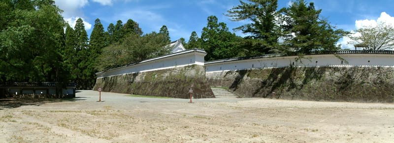 Obi castle town — Otemon7.7 kmphoto by z tanuki · CC BY 3.0
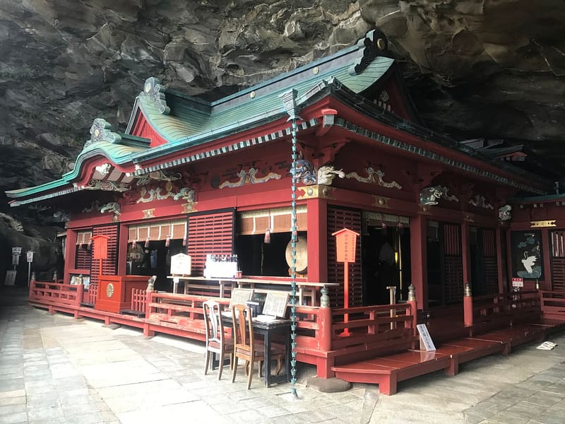 Udo Shrine9.8 kmphoto by そらみみ · CC BY-SA 4.0
 Namikiri Shrine10 kmphoto by そらみみ · CC BY-SA 4.0