
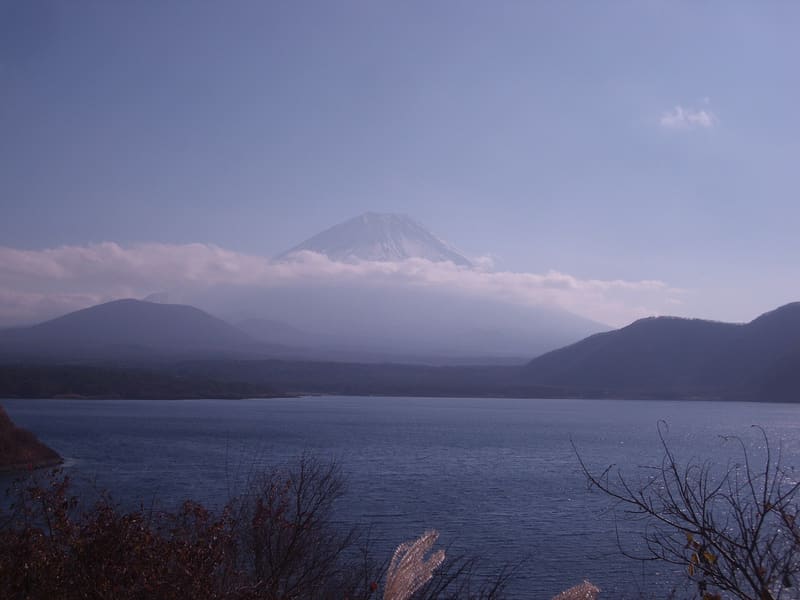
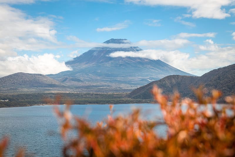
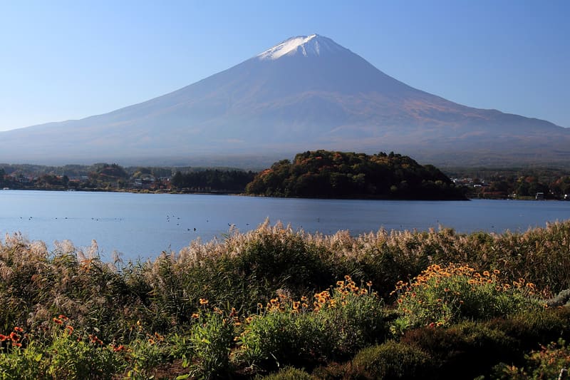
The 1,000-yen banknote shows this view: 680 metres of path, 30 minutes on foot.
A stepped platform, at the top of a 680-metre path (about thirty minutes from the car park), frames Lake Motosu with Fuji reflected upside down (逆さ富士, sakasa-Fuji), the same view as on the 1,000-yen banknote in circulation since 2004, and before that on the 5,000-yen note now withdrawn. To the left you can see Mount Ryūgadake and the Aokigahara forest.
Pass on the north-western shore of Lake Motosu, the deepest of the Fuji Five Lakes (121.6 metres), in the municipality of Minobu; the lake is part of the Fuji UNESCO World Heritage Site as a source of artistic inspiration.
ℹ️ Open path, free car park with 15–20 spaces at the trailhead (409-3104, Minobu-chō Nakanokura Kawajiri). 680 metres of uphill path, about 30 minutes.
🚉 Okubo · 21 min walk
Holidays in Japan? Plan them with us.Over 2,000 real places, a day-by-day itinerary.FreeOpen the map →Sources: ja.wikipedia.org · nap-camp.com · fujiyoshida-kanko.net
Nearby
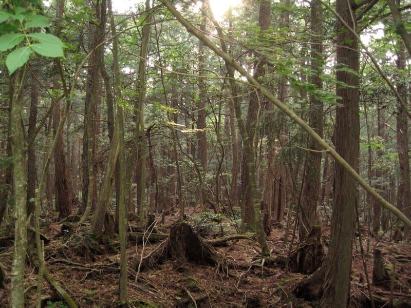 Aokigahara Forest (Jukai)7.7 kmphoto by mtzn · CC BY-SA 2.0
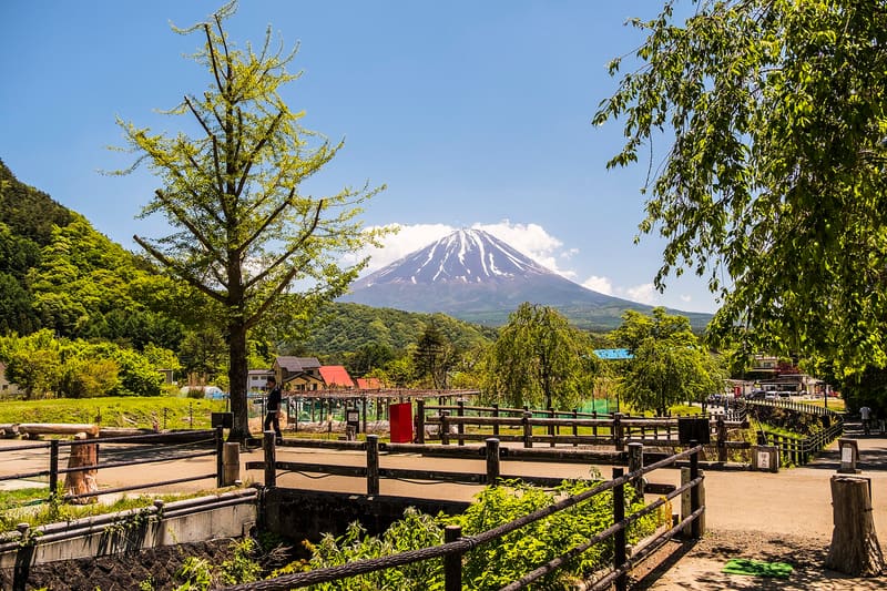 Saiko Iyashi no Sato Nenba8.7 kmphoto by Davide Mauro · CC BY-SA 4.0
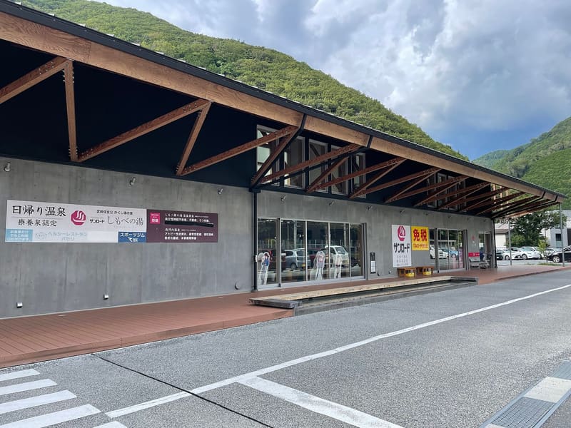 Shimobe Onsen11.1 kmphoto by Totti · CC BY-SA 4.0
 Ōishi Kōen16.1 kmphoto by Alpsdake · CC BY-SA 4.0