
Sixteen metres above the sea, and from there you have the sea on one side and the lagoon on the other.
You climb to the highest point of the sand spit (sixteen metres above sea level, nothing more) and from up there you have two different bodies of water, one on each side: the open Sea of Japan on one side, the enclosed Kumihama lagoon on the other. To the east the white beach continues for eight kilometres. Behind, on the dune, vegetables are grown in the sand.
A sand spit that closes off Kumihama Bay, separating it from the Sea of Japan. The name, ‘little Amanohashidate’, comes from its resemblance to the sand spit at Miyazu. The highest point is about sixteen metres above the sea. To the east the white beach runs for about eight kilometres to Yūhigaura; the whole is called 丹後砂丘, the Tango Dune, and measures about 4.7 km along an east–west line and covers about 590 hectares: the largest dune in Kyoto Prefecture, so much so that sand farming is practised on it. More than fifty species of dune plants grow along the shore, protected by a conservation programme.
ℹ️ A few minutes from Kumihama Station on the Tango Railway: along with Hatchōhama Beach, it is one of the two in this group that can be reached without a car. ⚠️ The beach has facilities only in July and August, open 9:00–17:00: in the other ten months it is a place for walking, with no facilities of any kind. The dune plants are protected: keep to the paths.
Holidays in Japan? Plan them with us.Over 2,000 real places, a day-by-day itinerary.FreeOpen the map →Sources: kyotango.gr.jp · uminokyoto.jp
Nearby
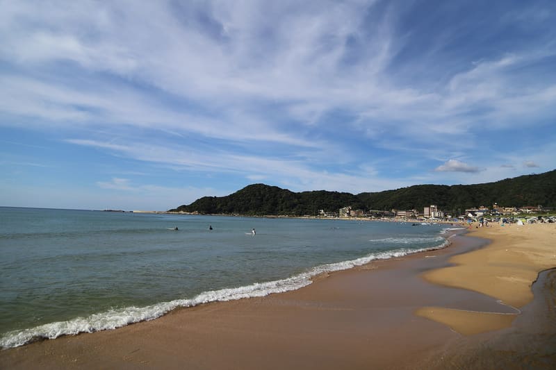 Yūhigaura, the sunset beach6.3 kmphoto by Araisyohei · CC BY-SA 4.0
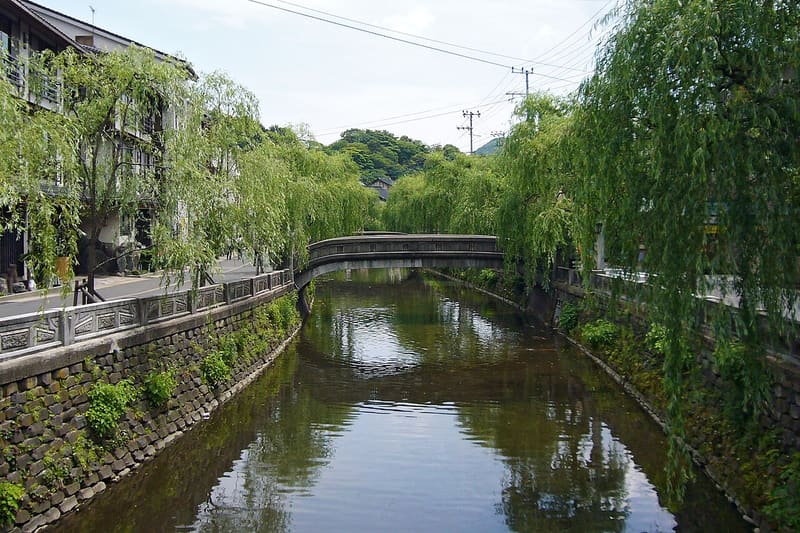 Kinosaki Onsen9.4 kmphoto by 663highland · CC BY 2.5