
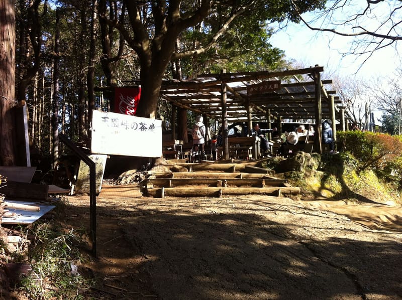
Four kilometres of ridge up to 159-metre Ōhirayama, the top of Kamakura.
You enter from inside Kenchō-ji, beyond the Hansōbō, and this means you pay for the temple ticket even if you come only to walk. Then the trail takes the ridge and stays on it: Ōhirayama, at one hundred and fifty-nine metres, is the highest point in the municipality. Along the way the yagura open up (around Kamakura there are more than a thousand of them), and the Hyakuhachi group, with about a hundred and eighty cells, is the largest of all. In late autumn the ginkgo trees below the pass show yellow against the snow-capped Mount Fuji.
It runs along the ridge that encloses Kamakura to the north-east, from Kenchō-ji to Zuisen-ji. The yagura you come across are medieval burial chambers cut into the soft rock of the hills, the typical form of burial in the Kamakura of the twelfth and fourteenth centuries.
ℹ️ ⚠️ **You enter from inside Kenchō-ji and pay for the temple ticket, 500 yen**, even if you only do the trail: the official site says so. So the route is tied to the temple's opening hours, 8:30–16:30. The published figures vary with the end points: sixty to ninety minutes for the ridge alone from Kenchō-ji to Zuisen-ji; two and a half to three hours for the station-to-bus-stop route, that is, from Kita-Kamakura to the Daitōnomiya bus stop, which adds the approach, the climb to the Hansōbō and the final descent. ⚠️ Only in dry weather and with proper shoes.
🚉 Kita-Kamakura · 22 min walk
Holidays in Japan? Plan them with us.Over 2,000 real places, a day-by-day itinerary.FreeOpen the map →Sources: nippon.com · japan-guide.com · kenchoji.com
Nearby
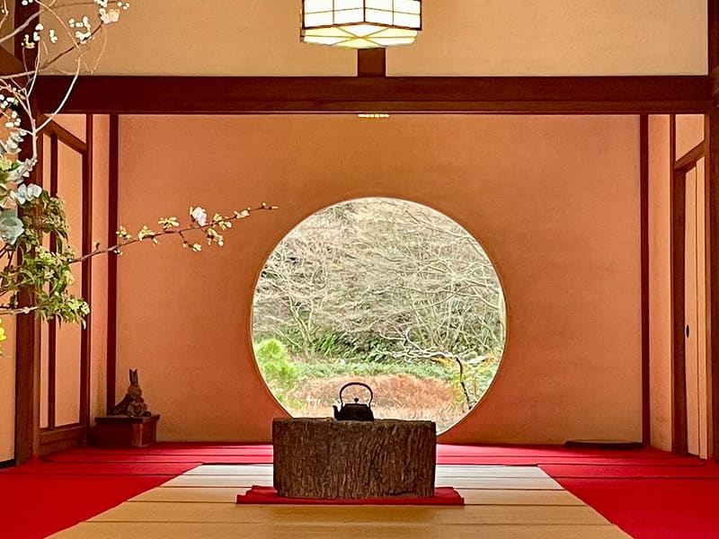 Meigetsu-in, the hydrangea temple600 mphoto by おにく · CC0
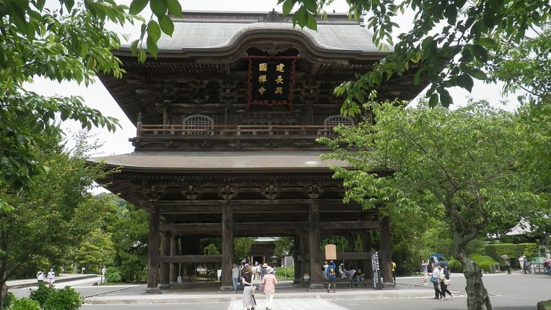 Kenchō-ji600 mphoto by KENPEI · CC BY-SA 4.0
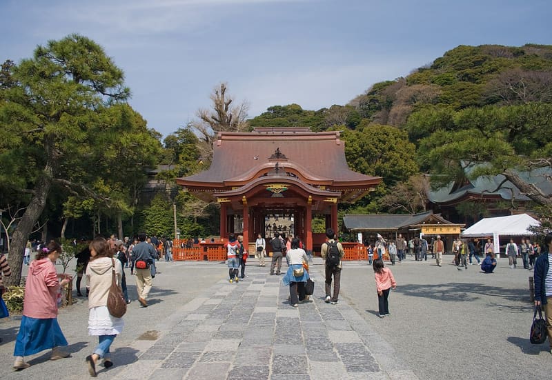 Tsurugaoka Hachimangu1.1 kmphoto by Σ64 · CC BY-SA 3.0
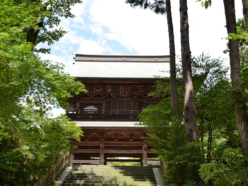 Engaku-ji1.1 kmphoto by Kentagon · CC BY-SA 4.0