
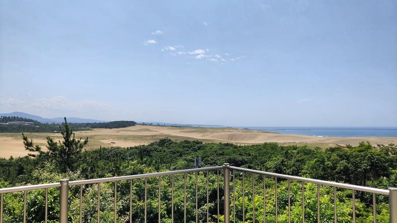
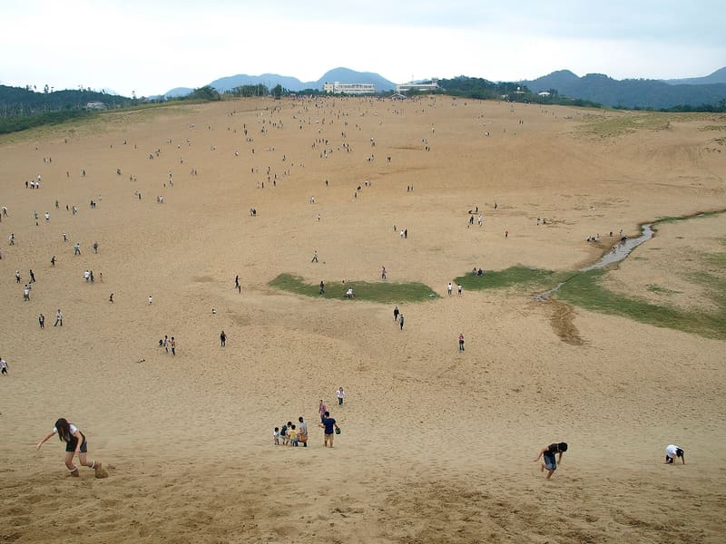
545 hectares of dunes, 16 km by 2.4: a 90-metre rise to the crest of the Uma-no-se.
The largest expanse of coastal dunes in Japan, 16 km from east to west and 2.4 from north to south over 545 hectares, a national Natural Monument since 1955. The most spectacular point is the Uma-no-se (‘horse's back’), a sand ridge rising at most 90 metres above the sea; the wind draws 風紋 on it, the sand ripples that change every day, and the sand hollows out funnel-shaped basins (すりばち) up to 40 metres high.
Coastal dune on the Sea of Japan, formed over tens of thousands of years from sediment carried by the Sendai River and redistributed by the wind and currents; it is part of San'in Kaigan National Park and of the San'in Kaigan UNESCO Global Geopark.
ℹ️ Free, open access, with no closing time for the dune area. Camel rides and sandboarding are run for a fee by private operators; a paid chairlift goes up to Uma-no-se. Nearby are also the Sand Museum and the port fish market, with their own access and opening hours.
🚉 砂の美術館前 · 2 min walk
Holidays in Japan? Plan them with us.Over 2,000 real places, a day-by-day itinerary.FreeOpen the map →Sources: ja.wikipedia.org · rurubu.jp · torican.jp
Nearby
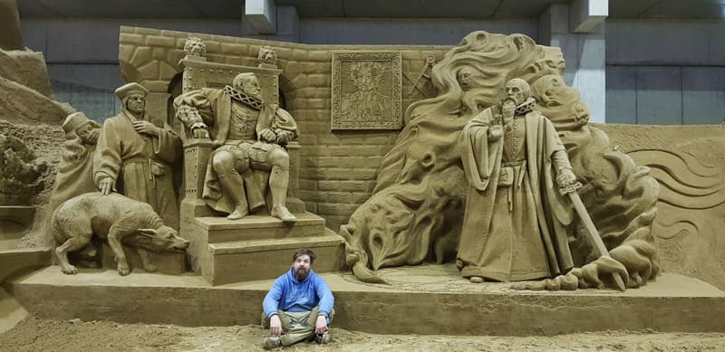 Sand Museum — Museum of sand700 mphoto by WikiArtResearcher · CC BY-SA 4.0
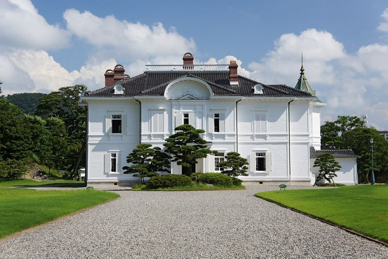 Jinpūkaku3.7 kmphoto by 663highland · CC BY 2.5
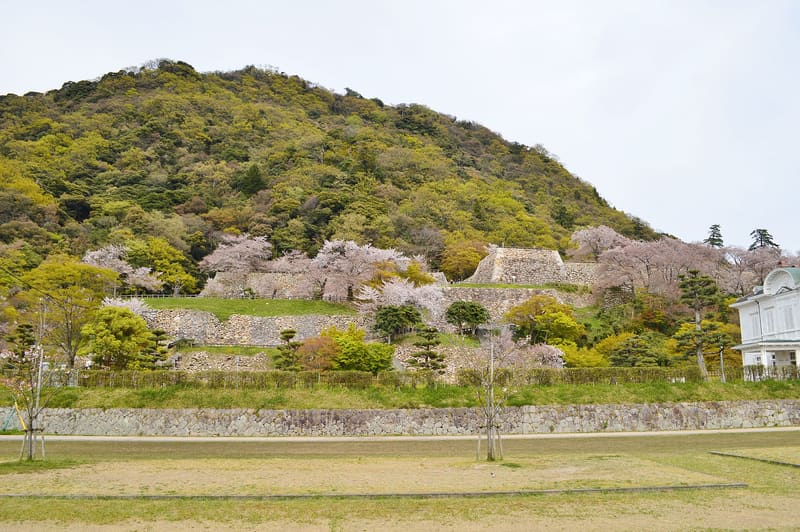 Tottori Castle — Kyūshō Kōen3.9 kmphoto by Saigen Jiro · CC0
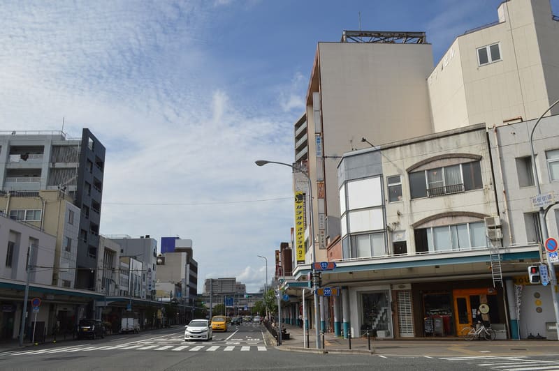 Wakasa-kaidō — home of the Tottori Shanshan Matsuri5 kmphoto by Asturio Cantabrio · CC BY-SA 4.0