
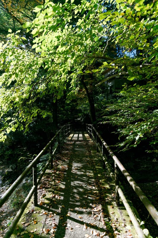
4 km path on the Tama River between Mitake and Sawai, among the 100 best waters of Japan
The path follows the Tama River for about 4 km between Mitake and Sawai stations, and six footbridges with poetic names (the maple bridge, the cormorant's back bridge) cross it along the way. In 1985 it was chosen as one of the ‘100 best waters of Japan’ (名水百選) for the clarity of the current; in summer it becomes a destination for canoeing and rafting, with the boats visible from the path itself.
The stretch carved by the Tama River in Chichibu-Tama-Kai National Park runs, in its longest form, from Ikusabata Station to Mitake Station, passing through Sawai; along the way you pass the Ozawa brewery, Kanzan-ji temple and the Gyokudō Museum, dedicated to the painter Kawai Gyokudō, who spent his last years there. In March 1985 the Ministry of the Environment selected it as one of the hundred purest watercourses in Japan.
ℹ️ The stretch near JR Mitake Station (Ōme Line) is about 5 minutes away on foot (source: JR East). The full route, with its six footbridges, takes about 3 hours according to a tourist guide site (tokyo-trip.org: ‘全コースを歩くと所要3時間’); another official tourist guide gives about 1 and a half hours for a shorter stretch between Ikusabata and Mitake (omekanko.gr.jp). Path always open and free, with no gate or opening hours.
🚉 Mitake · 4 min walk
Holidays in Japan? Plan them with us.Over 2,000 real places, a day-by-day itinerary.FreeOpen the map →Sources: tokyo-trip.org · water-pub.env.go.jp · omekanko.gr.jp
Nearby
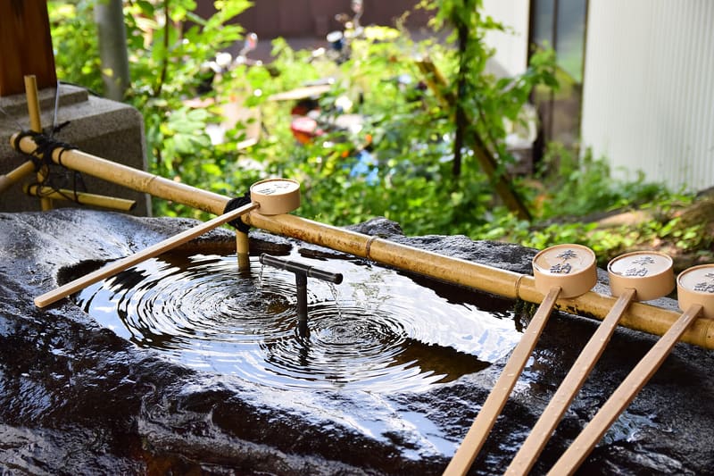 Musashi-Mitake Shrine3.6 kmphoto by 雷太 · CC BY 2.0
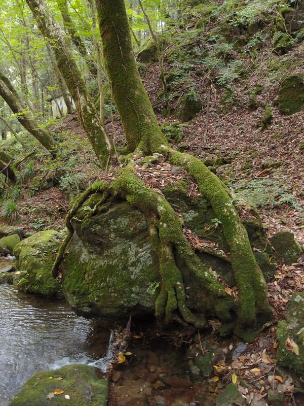 Mount Mitake Rock Garden4.1 kmphoto by Guilhem Vellut · CC BY 2.0
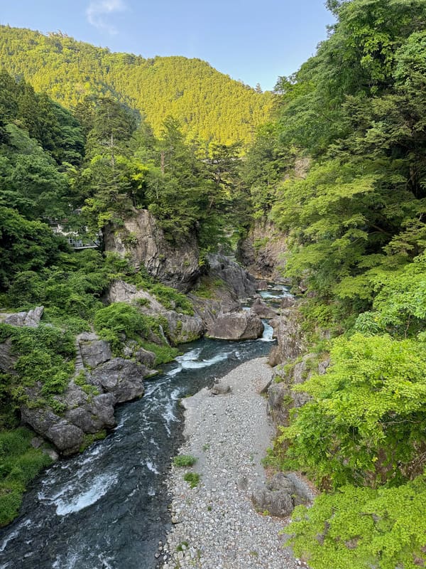 Hatonosu Gorge5.3 kmphoto by 皓月旗 · CC BY-SA 4.0
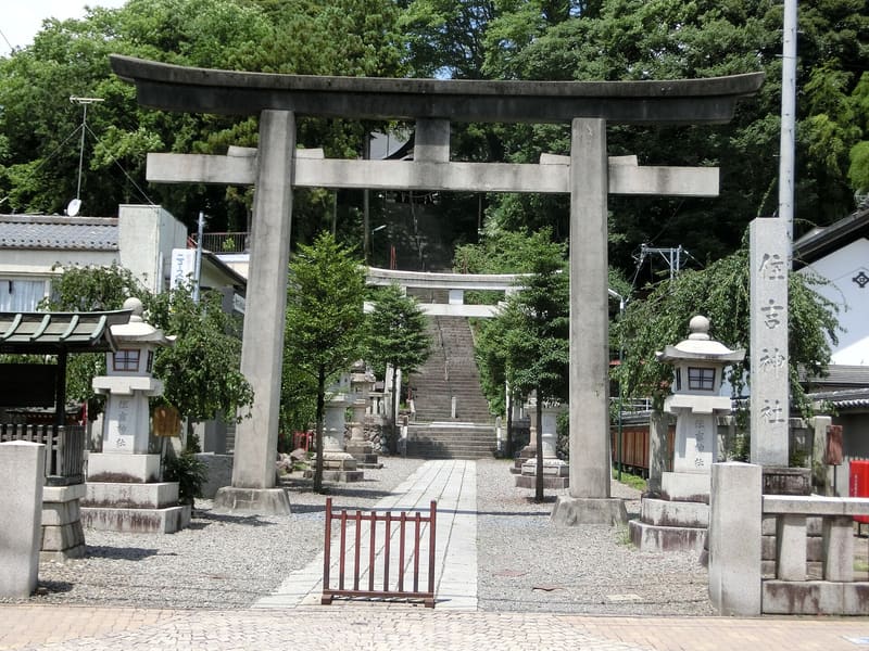 Sumiyoshi Shrine, Ōme7 kmphoto by Abasaa · dominio pubblico (dichiarazione dell'autore, PD-self)