
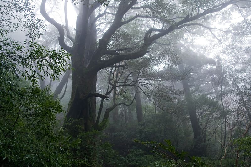
The coastal weather station records 4,651.7 mm of rain a year, the national record.
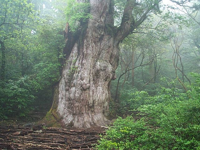
A mountainous island south of Kyūshū, a UNESCO World Natural Heritage Site since 1993 together with Himeji Castle, the Hōryū-ji temple and the Shirakami forest. Its highest point, Miyanoura-dake, reaches 1,936 metres (the highest in all of Kyūshū), and in the mountain areas rainfall reaches 8,000–12,000 mm a year; the coastal station alone records 4,651.7 mm, the highest among Japan's national measuring points. In the cedar forest (yakusugi) grows the Jōmon Sugi, estimated by radiocarbon dating to be over 2,000 years old.
An island of 504.88 km² with 11,858 inhabitants (2020 census). The main port, Miyanoura, is linked to Kagoshima by hydrofoil (about 50 minutes), and an airport has flights to Ōsaka, Fukuoka and Kagoshima.
ℹ️ Recommended minimum stay of two nights, given the distance and the walking times on the trails. The trail to the Jōmon Sugi is long and demanding; Shiratani Unsuikyō, a moss forest associated with the imagery of Studio Ghibli's Princess Mononoke, is more accessible. Hirauchi Kaichū Onsen, a coastal hot-spring bath, is visible only for a few hours around low tide, and bathing is mixed, without swimwear.
🚉 Noboriagari · 11 min walk
Holidays in Japan? Plan them with us.Over 2,000 real places, a day-by-day itinerary.FreeOpen the map →Sources: ja.wikipedia.org · livejapan.com
Nearby
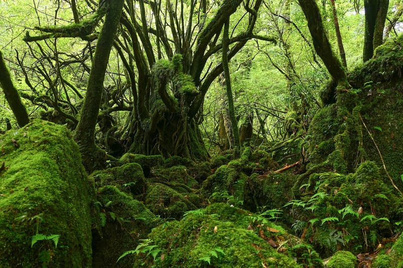 Shiratani Unsuikyō5.1 kmphoto by MaedaAkihiko · CC0
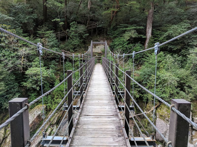 Yakusugi Land14.8 kmphoto by Grendelkhan · CC BY-SA 4.0