
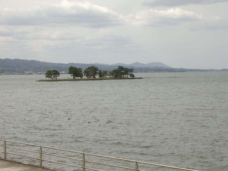
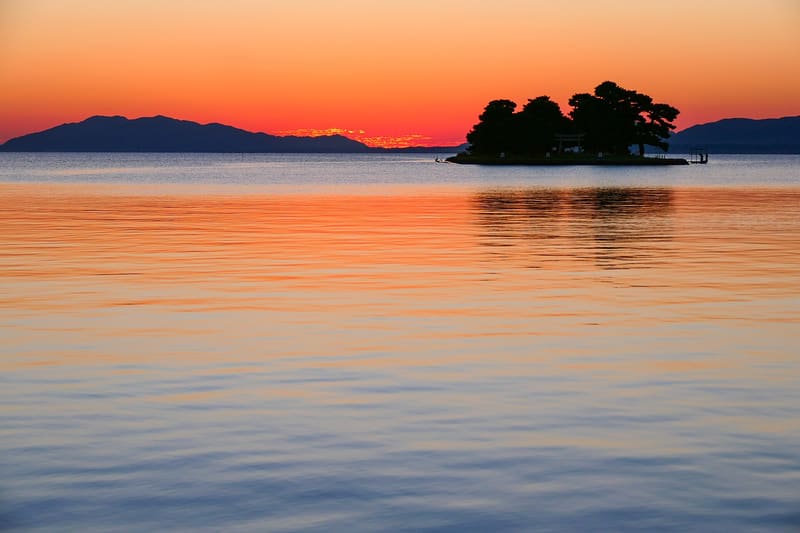
When the lake is low, a guide rope crosses 220 metres of water to the island.
Yomegashima is the only island in Lake Shinji: 110 metres long, a lone pine, a handful of stone jizō, and the classic silhouette of every sunset photographed around here, so much so that it made the ‘Hundred best sunsets in Japan’ together with the Sodeshi shore facing it. On some special occasions, when the water drops to 130–140 centimetres, a guide rope lets you walk across the 220 metres that separate the island from the shore. The lake itself is brackish (a tenth of the salinity of the sea) and gives its name to the ‘seven delicacies of Shinji’ (宍道湖七珍): perch, shrimp, eel, smelt, shijimi clams, carp and silverside, still fished today.
Small island of lava rock, formed by an eruption about 12 million years ago, in the middle of the brackish Lake Shinji. The ‘Ten views of Lake Shinji’ were designated in 1951; the lake is a Ramsar wetland for the more than 240 species of birds that winter there.
ℹ️ Free to view at any time from the Sodeshi shore (袖師町) or from Shirakata Park. About 20 minutes on foot from Nogi Station, or by bus from Matsue.
🚉 Nogi · 16 min walk
Holidays in Japan? Plan them with us.Over 2,000 real places, a day-by-day itinerary.FreeOpen the map →Sources: ja.wikipedia.org · ja.wikipedia.org
Nearby
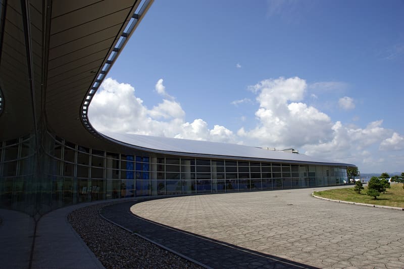 Shimane Art Museum700 mphoto by 663highland · CC BY 2.5
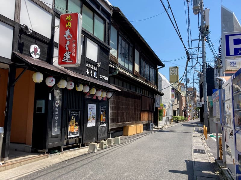 Isemiya1.7 km
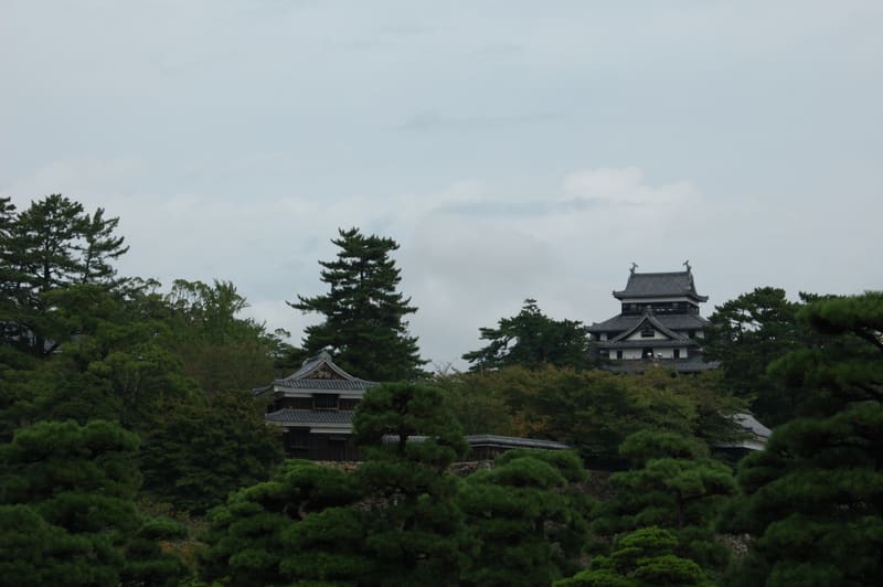 Matsue Castle2.1 kmphoto by by Reggaeman · CC BY-SA 3.0
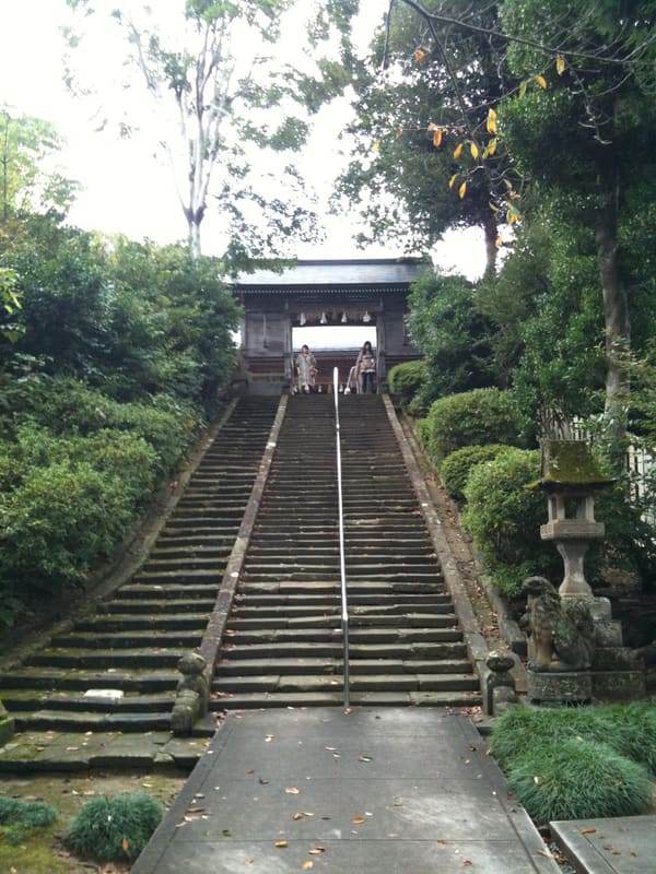 Jōzan Inari Jinja — Horan Enya2.4 km