
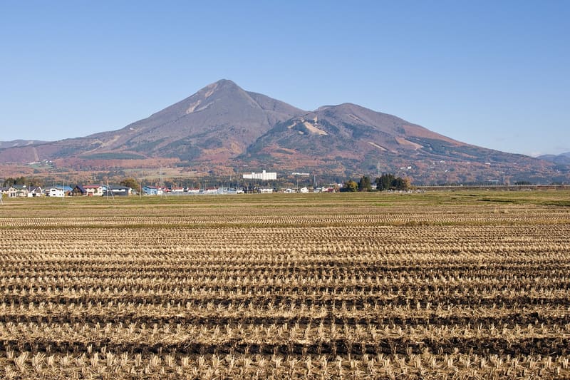
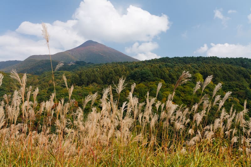
In 1888 it killed 477 people: since then ‘Bandai-type eruption’ has been a term used worldwide.
On 15 July 1888 the north face of the mountain, then called Ko-Bandai, collapsed in a phreatomagmatic explosion: the debris avalanche dammed the watercourses of the area, buried five villages and eleven hamlets and killed 477 people, the worst volcanic disaster in Japan since the start of the Meiji era. The phenomenon, a flank collapse with no flow of magma, gave its name to the category ‘Bandai-type eruption’, still used in volcanology around the world today. The same collapse, by damming the watercourses, created the dozens of lakes of nearby Goshiki-numa.
An active stratovolcano, 1,816 metres high, the highest in the area, on the border between the municipalities of Inawashiro, Kitashiobara and Bandai.
ℹ️ The Inawashiro side, with a view of the lake, is the most common base for access; the eruption museum (Bandaisan Funka Kinenkan) tells the story of the 1888 disaster. Climbing trails are open roughly from late April/May to November; out of season you need snow equipment.
🚉 長浜 · 25 min walk
Holidays in Japan? Plan them with us.Over 2,000 real places, a day-by-day itinerary.FreeOpen the map →Sources: ja.wikipedia.org
Nearby
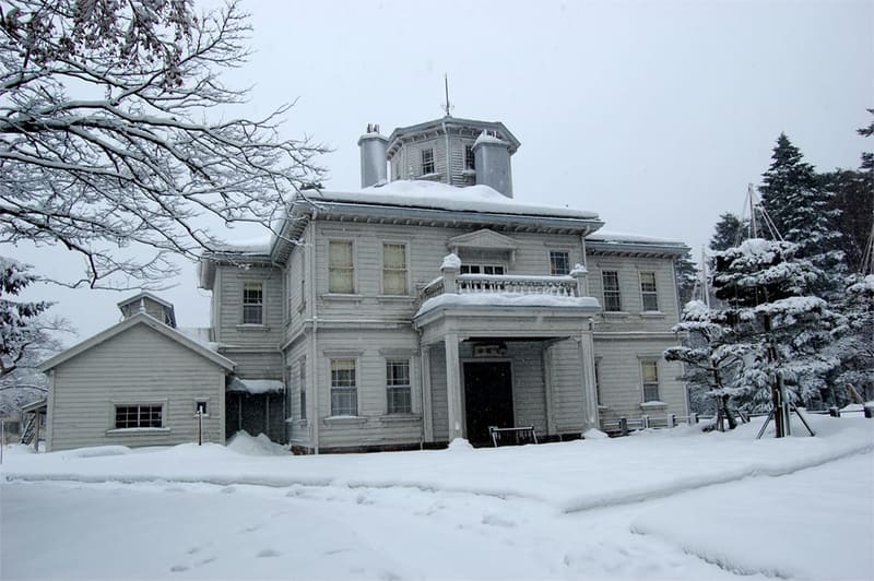 Tenkyokaku800 mphoto by DCyokohama at Japanese Wikipedia · CC BY 3.0
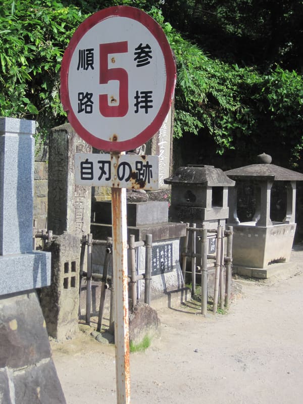 Byakkotai Graves, Iimori-yama7.7 kmphoto by alonfloc · CC BY 3.0
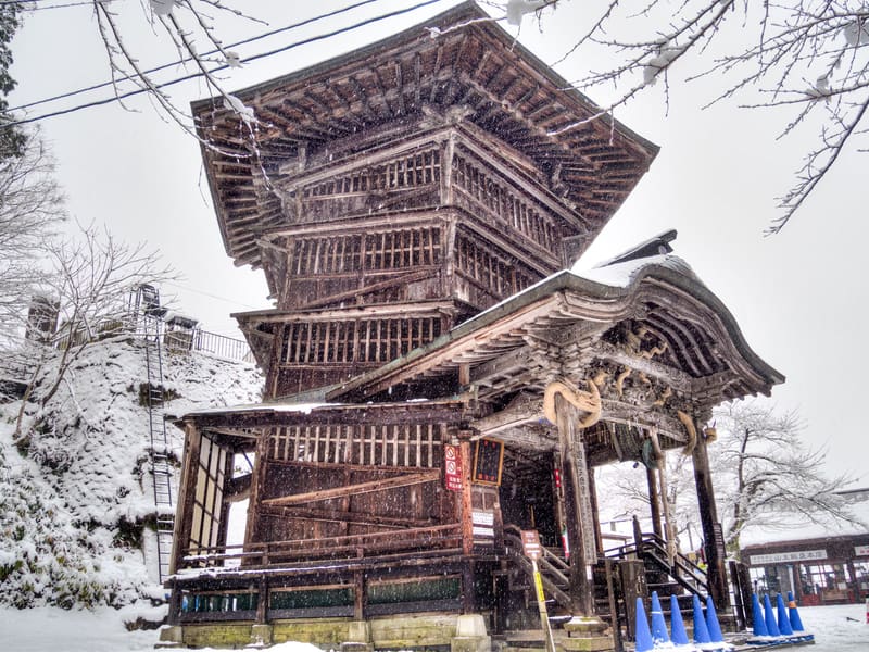 Sazae-dō (Entsū Sansō-dō)8.3 kmphoto by くろふね · CC BY 4.0
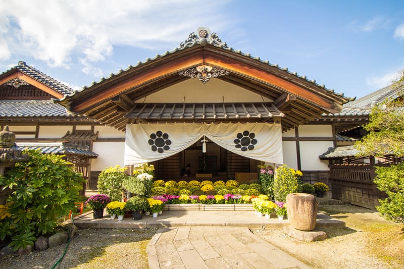 Aizu Buke Yashiki8.5 kmphoto by ganden · CC BY 4.0