
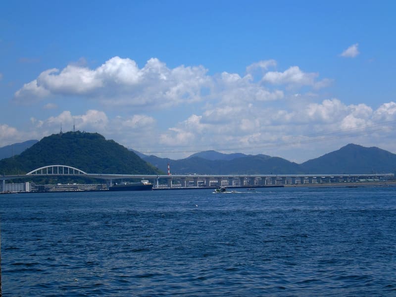
Once an island with a castle: an hour's climb among 500 cherry trees leads out over Hiroshima Bay.
In the Sengoku period it was an island with its own mountain castle, before the bay around it filled up with land. From the Higashi-honura bus stop it is about thirty minutes' climb to the fork and another forty to the summit, a good hour among about 500 cherry trees. At the top, a platform looks out over Hiroshima Bay and the city.
Mount Ōgon is 221 metres high according to the municipality's official page (221.7 m on Wikipedia, 222 m on Jalan: three sources, three close figures). In the Sengoku period it was an island, 仁保島, with its own mountain castle, before the area around the bay was filled in with land and became today's hill, within Minami-ku. A marked path leads to the viewing platform on the summit among about 500 cherry trees.
ℹ️ From the ‘Higashi-honura’ bus stop (line 4, towards Niho-shako) follow the signs: about 30 minutes to the fork, another 40 to the summit, a good hour in all, according to the municipality's official page. No gate hours: it is an open mountain path, with no ticket. Beyond the climbing time given, it is not stated whether the route has stretches of steps.
🚉 Shinonome · 35 min walk
Holidays in Japan? Plan them with us.Over 2,000 real places, a day-by-day itinerary.FreeOpen the map →Sources: city.hiroshima.lg.jp · ja.wikipedia.org
Nearby
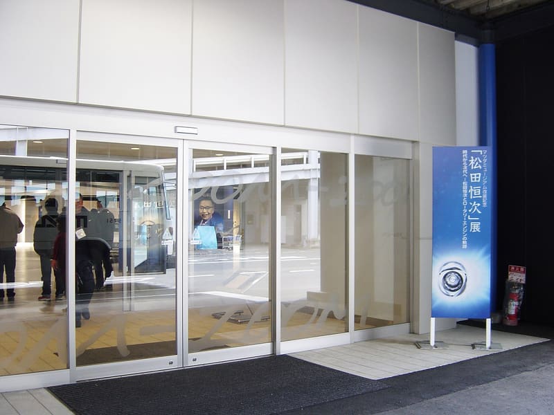 Mazda Museum1.9 kmphoto by Taisyo · CC BY 3.0
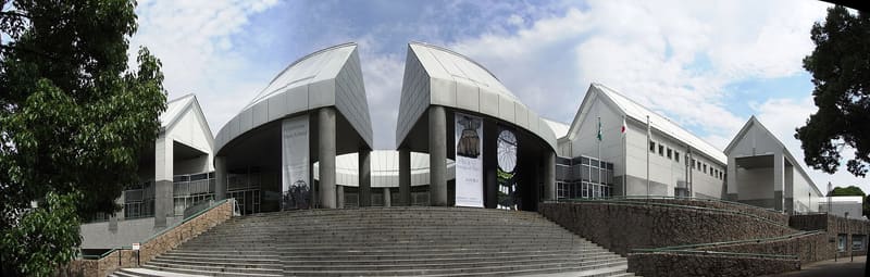 Hiroshima Museum of Contemporary Art2.7 kmphoto by Taisyo at Japanese Wikipedia · CC BY 3.0
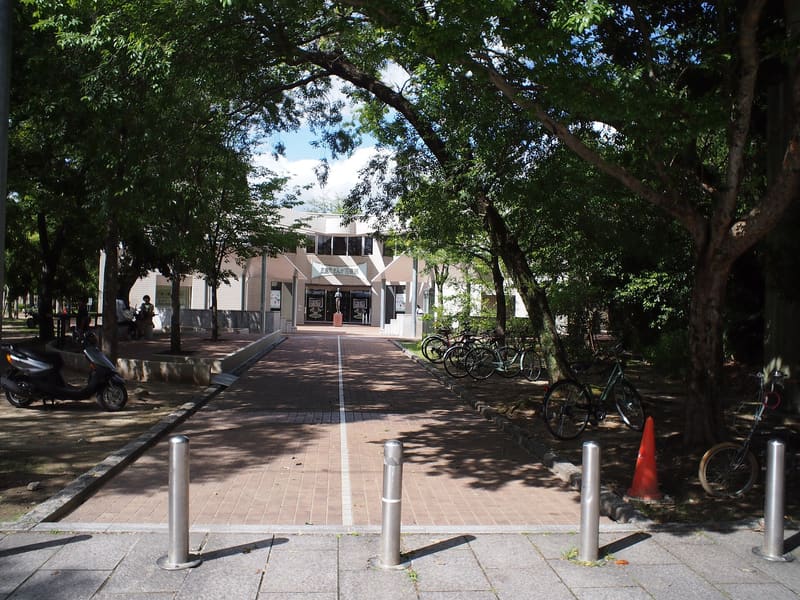 Hiroshima Manga Library2.7 kmphoto by Taisyo · CC BY 3.0
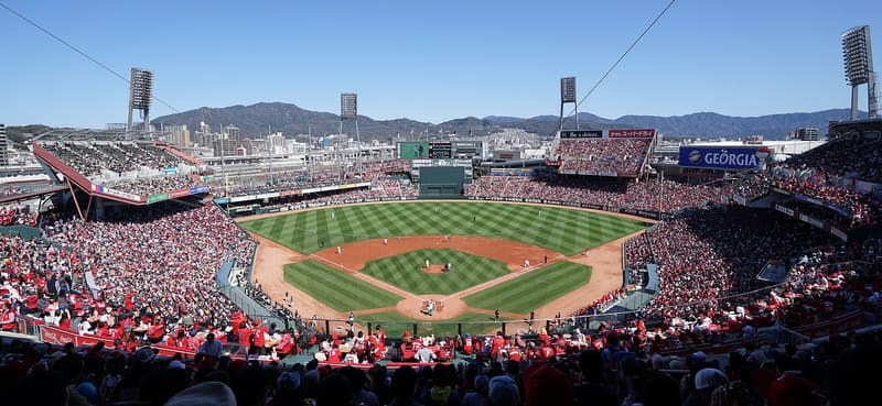 Mazda Zoom-Zoom Stadium2.8 kmphoto by HKT3012 · CC BY-SA 4.0