
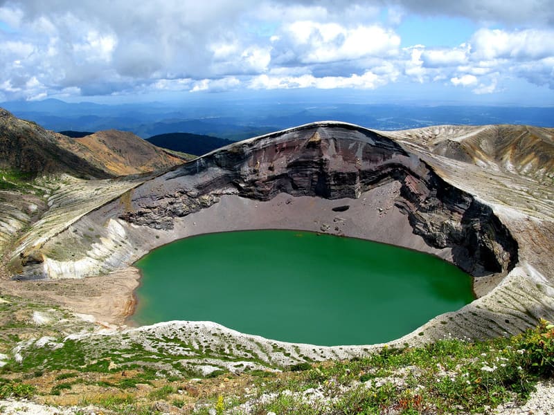
A crater of 325 metres, 27 deep: the water is too acidic for anything to live in it.
You park at the summit and walk two or three minutes on the level, with no steps, to the railing. Below you opens a funnel of grey rock, and at the bottom there is a disc of emerald-green water. The colour changes as you look at it, depending on how the light falls: that is why the lake has a second name, 五色沼, ‘the pond of five colours’. From November to April the road is closed by snow and you cannot get there.
It is the lake that fills the crater of Mount Zaō, on the border between Miyagi and Yamagata, at about 1,600 metres above sea level: it is fed by rainwater, snowmelt and spring water, collected at the bottom of an explosion vent. It measures 325 metres from shore to shore in every direction and has a perimeter of 1,080 metres; its depth, on the other hand, has changed over time, as the 1939 survey gave 63 metres and the 1968 one a maximum of 27.6 and an average of 17.8. The water is strongly acidic and no organism survives in it, neither fish nor algae. You get there by the Zaō Echo Line, the twenty-six-kilometre ridge road that crosses over towards Yamagata, and then by the Zaō Highline, the 2.5-kilometre toll road that ends at the car park at the top of Mount Katta.
ℹ️ You can only get there from late April to early November: the rest of the year the road is closed by snow, and on the days it reopens you pass between two walls of cleared snow. The Echo Line is free; the Highline costs 600 yen for a car and 450 for a motorcycle of 125 cc and over, return trip included (fare in force since 1 April 2025: many guides still give the old 550). The toll road is open from 7:30 to 17:00, reduced to 8:00–16:00 in the opening and closing weeks. Pedestrians and bicycles cannot go up. At the top there are about 350 free parking spaces, and from the car park to the viewpoint it is two or three minutes along a step-free path. By public transport it is difficult: the Miyakō bus to the Katta summit (蔵王刈田山頂) runs once a day, and only at weekends and on public holidays. Before setting out it is worth calling 0224-25-3204 for the weather and the state of the road: at the summit the fog comes up quickly. The Highline car park is at 1,750 m, with about 350 free spaces; it is the point where the road ends, not the turn-off from the Katta pass; it must not be confused with the Katta pass turn-off.
🚉 リフト上 · 6 min walk
Holidays in Japan? Plan them with us.Over 2,000 real places, a day-by-day itinerary.FreeOpen the map →Sources: zao-machi.com · zao-machi.com · newt.net
Nearby
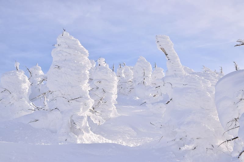 Zaō Juhyō (the ‘snow monsters’)2.6 kmphoto by Raita Futo from Tokyo, Japan · CC BY 2.0
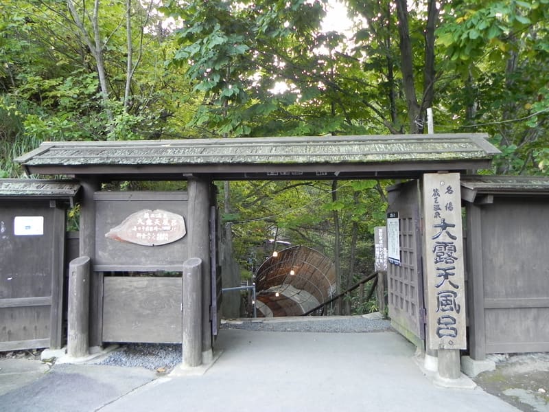 Zaō Onsen5.3 kmphoto by pakku · CC BY 3.0
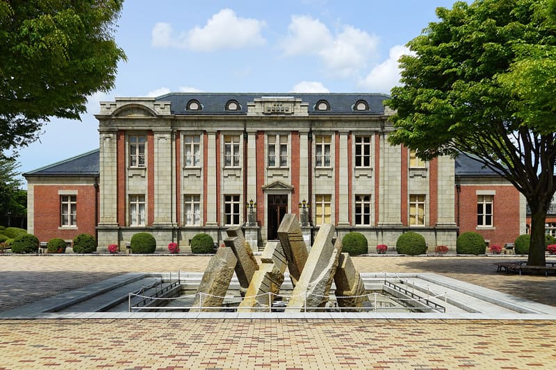 Bunshōkan16.4 kmphoto by 663highland · CC BY-SA 4.0
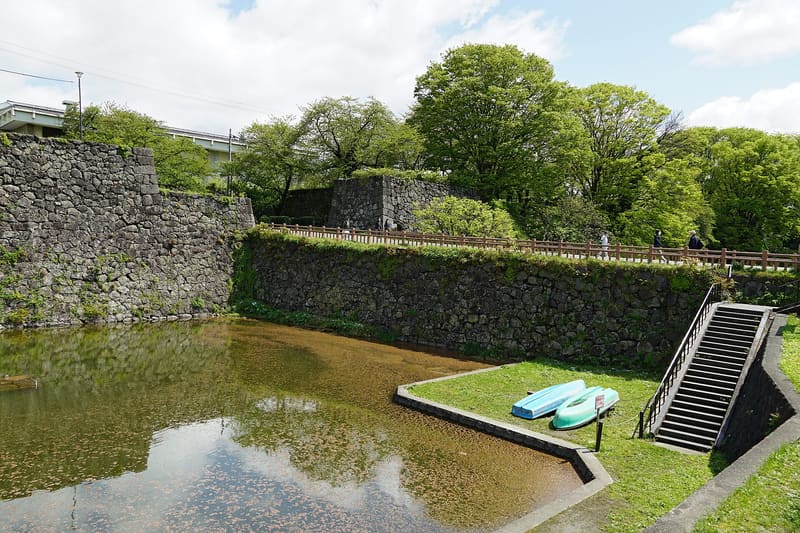 Yamagata Castle Ruins (Kajō-kōen)17 kmphoto by 663highland · CC BY-SA 4.0