
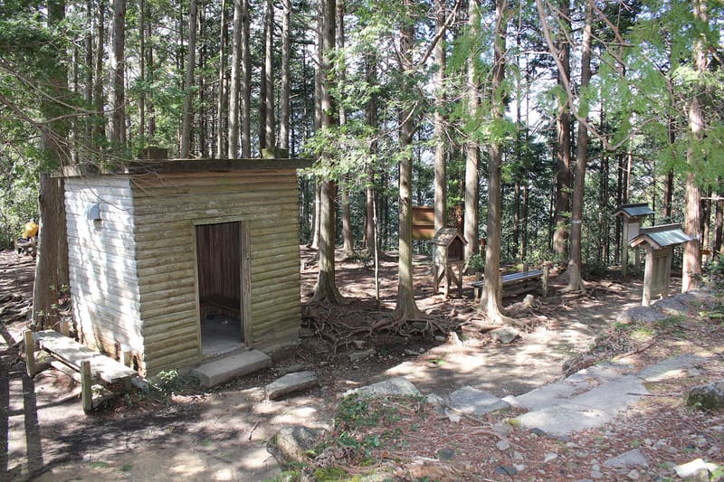
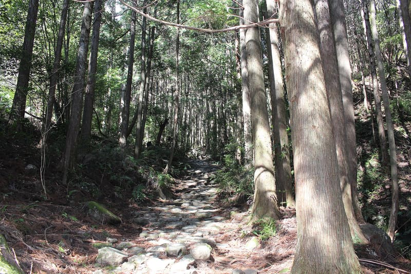
2 km of Edo-period stone slabs against the rains of Owase, among the most intense in Japan.
Over 2 km of stone slabs, laid in the Edo period to protect the path from the rains of Owase, among the heaviest in Japan, run through a cypress forest among stone statues and ferns. The pass marks the boundary between Owase and Kihoku, and is the northernmost of the four passes in the area; from here well-kept paths climb Mount Tengura, with a view over Owase Bay. The full crossing, about 5 km, is an easy walk of two and a half hours.
A section of the Iseji pilgrimage route of the Kumano Kodo, inscribed since 2004 in the UNESCO site ‘Sacred Sites and Pilgrimage Routes in the Kii Mountain Range’.
ℹ️ Always accessible, public path. Free car park (7 spaces, no facilities) on the north side, at Aiga (紀北町相賀); from the south side, bus from Owase to Washige or 30 minutes' walk from JR Owase Station.
Holidays in Japan? Plan them with us.Over 2,000 real places, a day-by-day itinerary.FreeOpen the map →Sources: kankomie.or.jp · city.owase.lg.jp · ja.wikipedia.org · blog.gaijinpot.com
Nearby
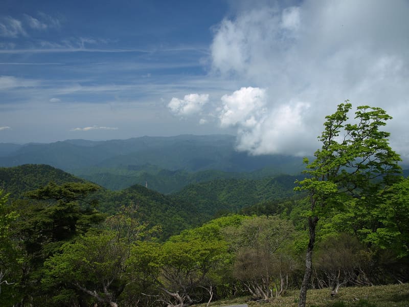 Ōdaigahara6 kmphoto by Merec0 · CC BY 2.0